Petrified Forest National Park in Apache County, Arizona — The American Mountains (Southwest)
Path of Least Resistance

Photographed by Adam Margolis, May 26, 2024
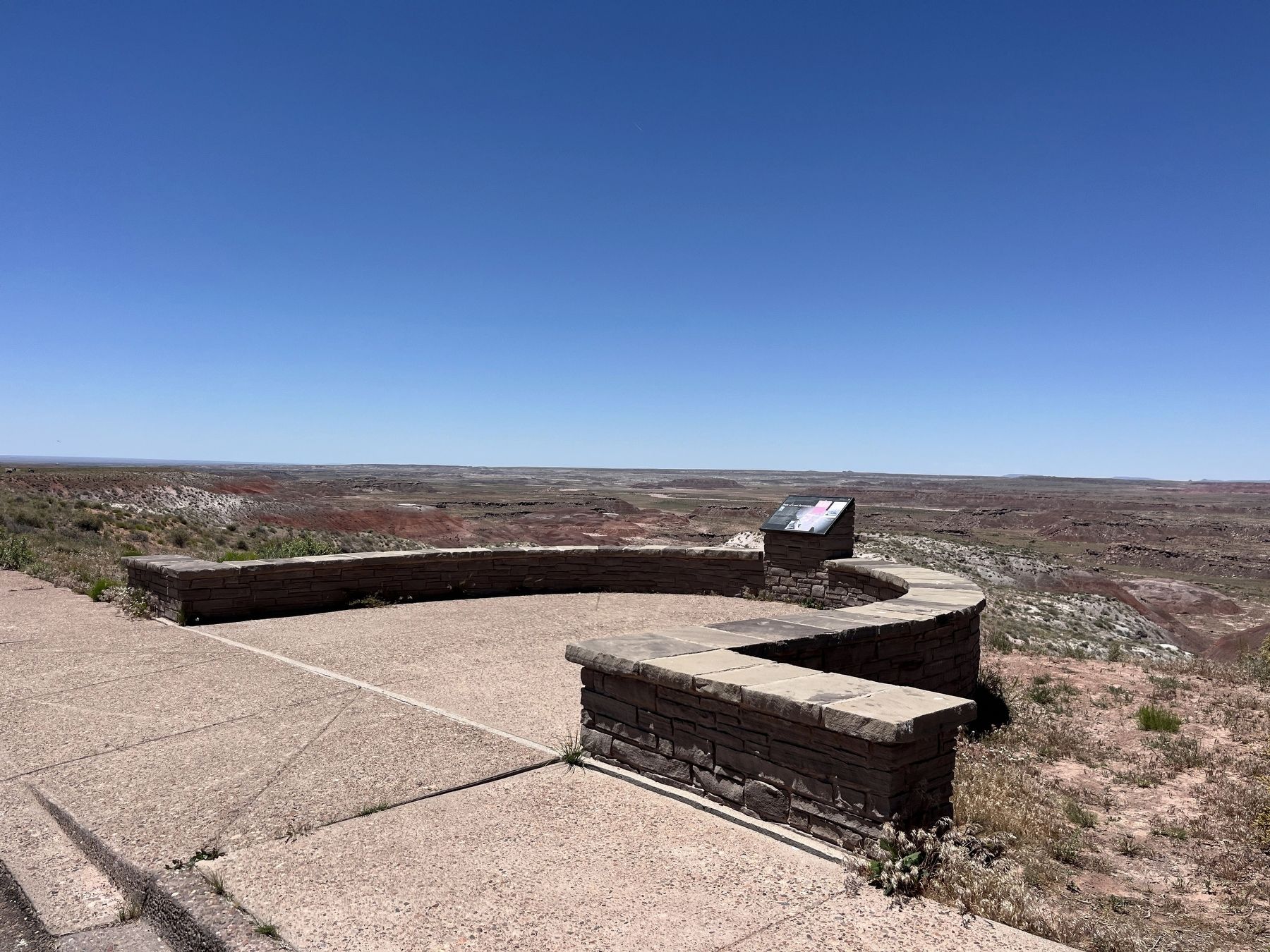
1. Path of Least Resistance Marker
As a traveler to this spot, you are in good company. The Painted Desert offers a rich story of travelers, traders, and migrants passing near this location through the centuries. This natural travel corridor skirts the Rocky Mountains and other adverse terrain providing a direct route between the eastern and western United States. For over 13,000 years people, including Ice Age hunters, Spanish explorers, military and railroad expeditions and automobile drivers favored this path of least resistance.
Lt. Amiel Whipple, for whom this point is named, passed this way in 1853 while surveying a railroad route from the Mississippi River to the Pacific Ocean. Since then, this corridor has been part of the Beale Wagon Road (established 1857), the "Overland Mail/Star Route" (1876), a transcontinental railroad (1883 with sections still in operation), the National Old Trails Highway (1912), Route 66 (1926), and is presently crossed by Interstate 40 (1958).
Erected by National Park Service.
Topics. This historical marker is listed in these topic lists: Railroads & Streetcars • Roads & Vehicles. A significant historical year for this entry is 1853.
Location. 35° 3.999′ N,
this page online

Regionally, this marker is in the American Southwest, in the Mountain West, on the Colorado Plateau, and at the Four Corners. Globally, it is in North America, the Western Hemisphere, the Western World, and the Anglosphere. Historically, it finds itself in what was once New Spain, the territory of the Ancestral Puebloans, and Mexico’s Alta California.
Other nearby markers. At least 8 other markers are within walking distance of this marker: Early Explorers (here, next to this marker); Enduring Abode (approx. ¼ mile away); A Gap in the Geologic Record (approx. ¼ mile away); The Petrified Forest of the World (approx. 0.4 miles away); The Painted Desert (approx. 0.4 miles away); Welcome (approx. 0.9 miles away); Painted Desert Community Complex Historic District (approx. 0.9 miles away); Tawa Trail (approx.
Photographed by Adam Margolis, May 26, 2024
2. Path of Least Resistance Marker
Credits. This page was last revised on September 18, 2024. It was originally submitted on September 4, 2024, by Adam Margolis of Mission Viejo, California. This page has been viewed 239 times since then and 31 times this year. Photos: 1, 2. submitted on September 4, 2024, by Adam Margolis of Mission Viejo, California. • Andrew Ruppenstein was the editor who published this page.
