Petrified Forest National Park in Apache County, Arizona — The American Mountains (Southwest)
The Petrified Forest of the World

Photographed by Adam Margolis, May 26, 2024
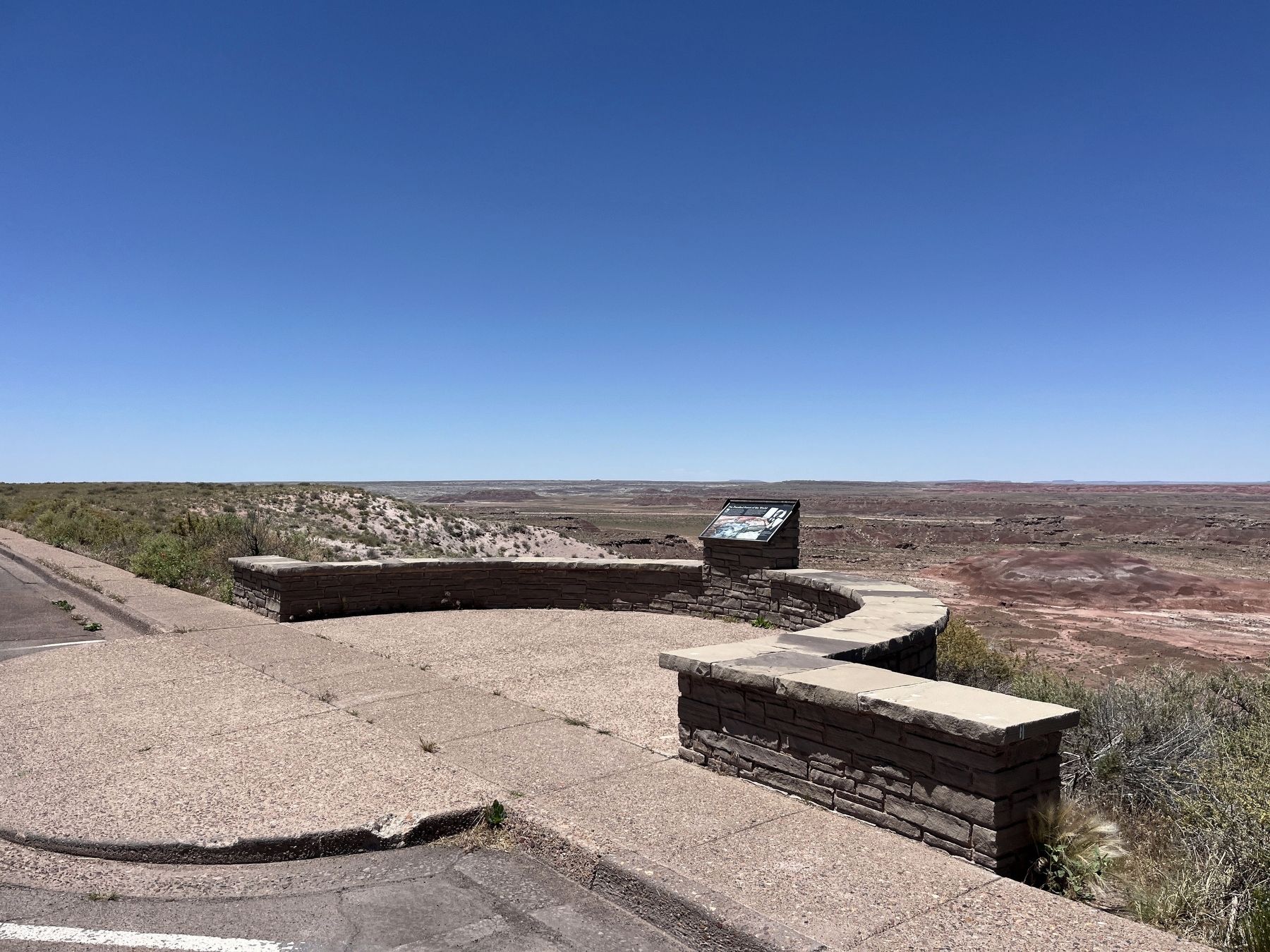
1. The Petrified Forest of the World Marker
Iowa Congressman John Fletcher Lacey strongly advocated the protection of public lands and the resources within them. Lacey is most prominently known by his namesake of the Lacey Act of 1900, which protected both plants and wildlife. However, he was also an active supporter and integral player in the establishment of the Antiquities Act by traveling to the southwest to observe firsthand the impact of looting on public lands. After President Theodore Roosevelt signed the act in 1906, the Petrified Forest became the second designated National Monument because of the sheer abundance of its archeological and fossil resourced. Fittingly, Lacy Point, with its broad vistas was named in honor of this visionary conservationist.
Erected by National Park Service.
Topics. This historical marker is listed in these topic lists: Charity & Public Work • Parks & Recreational Areas. A significant historical year for this entry is 1900.
Location. 35° 3.787′ N, 109° 48.159′ W. Marker is in Petrified Forest National Park, Arizona, in Apache County. It is on Petrified Forest Road. Touch for map. Marker is in this post office area:
this page online

Regionally, this marker is in the American Southwest, in the Mountain West, on the Colorado Plateau, and at the Four Corners. Globally, it is in North America, the Western Hemisphere, the Western World, and the Anglosphere. Historically, it finds itself in what was once New Spain, the territory of the Ancestral Puebloans, and Mexico’s Alta California.
Other nearby markers. At least 8 other markers are within 2 miles of this marker, measured as the crow flies: The Painted Desert (here, next to this marker); Early Explorers (approx. 0.4 miles away); Path of Least Resistance (approx. 0.4 miles away); Enduring Abode (approx. 0.6 miles away); A Gap in the Geologic Record (approx. 0.6 miles away); Highway of Dreams (approx. 0.8 miles away); Welcome (approx. 1.1 miles away); Tawa Trail (approx. 1.2 miles away). Touch for a list and map of all markers in Petrified Forest National Park.
Another marker is no longer nearby. Route 66 (was approx. 0.8 miles away but has been replaced with another marker now near it).
Photographed by Adam Margolis, May 26, 2024
2. The Petrified Forest of the World Marker
Credits. This page was last revised on September 18, 2024. It was originally submitted on September 4, 2024, by Adam Margolis of Mission Viejo, California. This page has been viewed 340 times since then and 29 times this year. Photos: 1, 2. submitted on September 4, 2024, by Adam Margolis of Mission Viejo, California. • Andrew Ruppenstein was the editor who published this page.
