Dillon in Beaverhead County, Montana — The American West (Mountains)
Entering the Beaverhead River Canyon
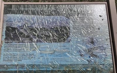
"the river entered the mountain…"
Photographed by Barry Swackhamer, June 28, 2024
1. Entering the Beaverhead River Canyon Marker
The point where the Beaverhead River entered the Blacktail Fault is marked by a dramatic change in the landscape. This fault uplifts the Blacktail Mountains over 9,000 feet. All of this topography (?) over the last six million years and the fault that caused it is still active!
The Beaverhead river Canyon formed (?) the Blacktail Mountains were uplifted, forcing the Beaverhead river to cut into the hard volcanic rock. The river is now still in those rocks and continues to cut the canyon as the mountains continue to be uplifted.
"halted on the river under an immensely high perpendicular cliff of rock, cooked and eat haisty meal and departed… " Meriwether Lewis, August 10, 1805
The Corps of Discovery passed through the "rattle snake clifs" quickly in 1805 distracted by the urgent need to find the Lemhi Shoshone people to procure horses and information about the trail ahead.
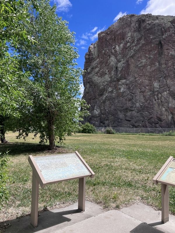
The modern explorer, however, can take the time to appreciate the spectacular geology exposed by the relentless erosion of the Beaverhead River.
At this point, the Beaverhead River, flowing north, crosses the Blacktail Fault
this page online
Topics and series. This historical marker is listed in these topic lists: Animals • Exploration • Natural Features. In addition, it is included in the Lewis & Clark Expedition series list. A significant historical date for this entry is August 10, 1805.
Location. 45° 7.757′ N, 112° 44.476′ W. Marker has been reported unreadable. Marker is in Dillon, Montana, in Beaverhead County. It can be reached from Interstate 15 Frontage Road near Old Stage Road, on the right when traveling north. The marker is in Barrett's Station/Rattlesnake Cliffs Park. Touch for map. Marker is at or near this postal address: 4325 Old Stage Road, Dillon MT 59725, United States of America. Touch for directions.

Regionally, this marker is in andspecifically outhwest Montana, in Gold West Country, in Mining Country. It is also in the American Mountain West and in the Lewis & Clark Corridor. Globally, it is in North America, the Rocky Mountains, the Western Hemisphere,
Photographed by Barry Swackhamer, June 28, 2024
2. Entering the Beaverhead River Canyon Marker
Other nearby markers. At least 8 other markers are within 8 miles of this location, measured as the crow flies: "…we called them the rattle snake clifts" (here, next to this marker); Beaverhead Canyon Gateway (within shouting distance of this marker); Old Trail to the Gold Diggin's (approx. 0.4 miles away); Bannack (approx. 0.4 miles away); Martin Barrett House (approx. 7½ miles away); U.S. Post Office — Dillon Main (approx. 7.8 miles away); Medicine Tree (approx. 7.8 miles away); Hotel Andrus (approx. 7.9 miles away). Touch for a list and map of all markers in Dillon.
Credits. This page was last revised on January 5, 2026. It was originally submitted on September 4, 2024, by Barry Swackhamer of Brentwood, California. This page has been viewed 2,198 times since then and 281 times this year. Photos: 1, 2. submitted on September 4, 2024, by Barry Swackhamer of Brentwood, California.
