Near Grindstone in Fayette County, Pennsylvania — The American Northeast (Mid-Atlantic)
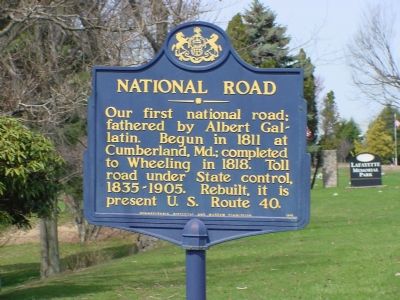
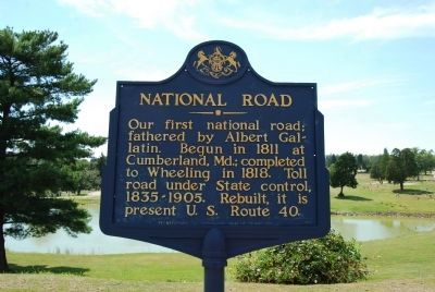
National Road
Erected 1948 by Pennsylvania Historical and Museum Commission. (Marker Number 2.)
Topics and series. This historical marker is listed in this topic list: Roads & Vehicles. In addition, it is included in the Pennsylvania Historical and Museum Commission, and the The Historic National Road series lists. A significant historical year for this entry is 1811.
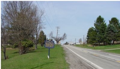
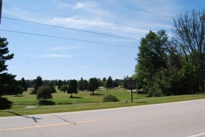
Location. 39° 59.304′ N, 79° 50.552′ W. Marker is near Grindstone, Pennsylvania, in Fayette County. Marker is on National Pike (Route 40) east of Twin Hills Road, on the right when traveling east. It is at Lafayette Memorial Park Cemetery. Touch for map. Marker is in this post office area: Grindstone PA 15442, United States of America. Touch for directions.
Other nearby markers. At least 5 other markers are within 3 miles of this marker, measured as the crow flies. Veterans Memorial (approx. 2.1 miles away); a different marker also named Veterans Memorial (approx. 2.6 miles away); a different marker also named Veterans Memorial (approx. 2.6 miles away); Brownsville (approx. 2.8 miles away); Brashear House (approx. 3 miles away).
Also see . . . Albert Gallatin. From the History of the Treasury pages of the Department of The Treasury website. (Submitted on April 16, 2006.)
Credits. This page was last revised on June 16, 2016. It was originally submitted on April 16, 2006, by J. J. Prats of Powell, Ohio. This page has been viewed 1,941 times since then and 4 times this year. Photos: 1. submitted on April 16, 2006, by J. J. Prats of Powell, Ohio. 2. submitted on September 7, 2013, by Mike Wintermantel of Pittsburgh, Pennsylvania. 3. submitted on April 16, 2006, by J. J. Prats of Powell, Ohio. 4. submitted on September 7, 2013, by Mike Wintermantel of Pittsburgh, Pennsylvania.


