Bridgeport in Seneca Falls in Seneca County, New York — The American Northeast (Mid-Atlantic)
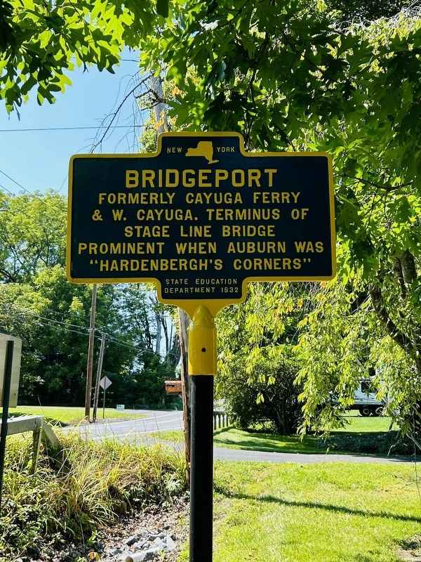
Bridgeport
Photographed by Susan A. Dalaba, September 4, 2024
1. Bridgeport Marker
& W. Cayuga. Terminus
of Stage Line Bridge
prominent when Auburn was
“Hardenbergh’s Corners”
Erected 1932 by State Education Department.
Topics. This historical marker is listed in these topic lists: Bridges & Viaducts • Waterways & Vessels.
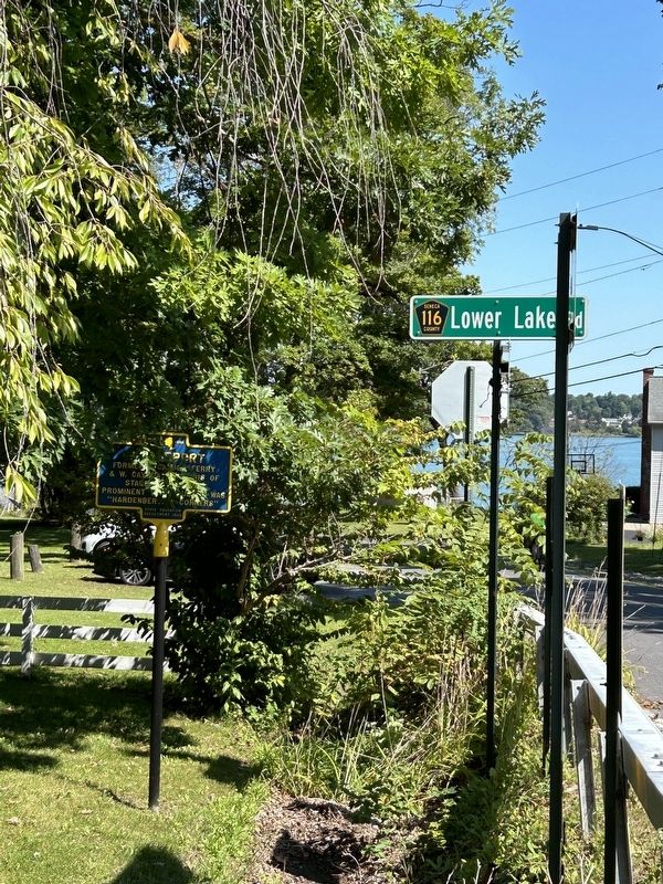
Location. 42° 54.969′ N, 76° 45.006′ W. Marker is in Seneca Falls, New York, in Seneca County. It is in Bridgeport. It is at the intersection of Lake Road and Lower Lake Road (County Route 116), on the left when traveling east on Lake Road. Touch for map. Marker is at or near this postal address: 3245 Lake Road, Seneca Falls NY 13148, United States of America. Touch for directions.

Regionally, this marker is in Upstate New York, specifically in Western New York, and in the Finger Lakes. It is also in the American Northeast and in the Mid-Atlantic. Globally, it is in North America, the Western Hemisphere, the Western World, and the Anglosphere. Historically, it finds itself in what was once the Haudenosaunee (Iroquois) Confederacy, New Netherland, and one of the original Thirteen
this page online
Other nearby markers. At least 8 other markers are within 2 miles of this marker, measured as the crow flies: Eisenhower College (approx. half a mile away); The Cobblestone or Ferry Farm (approx. one mile away); George A. Wyman (approx. one mile away); Sullivan-Clinton Campaign (approx. 1.1 miles away); Site of Cayuga Long Bridge (approx. 1.1 miles away); Site of East End of the Cayuga Long Bridge (approx. 1.1 miles away); Potter Inn Farm (approx. 1.2 miles away); Old Genesee Stage Route (approx. 1.3 miles away). Touch for a list and map of all markers in Seneca Falls.
Photographed by Susan A. Dalaba, September 4, 2024
2. Bridgeport Marker

Photographed by Susan A. Dalaba, September 4, 2024
3. Bridgeport Marker
Credits. This page was last revised on September 9, 2024. It was originally submitted on September 4, 2024, by Susan A. Dalaba of Cortland, New York. This page has been viewed 252 times since then and 27 times this year. Photos: 1, 2, 3. submitted on September 4, 2024, by Susan A. Dalaba of Cortland, New York. • Michael Herrick was the editor who published this page.
