
Seneca Falls in Seneca County, New York — The American Northeast (Mid-Atlantic)
Routes of the Armies
General John Sullivan and General James Clinton
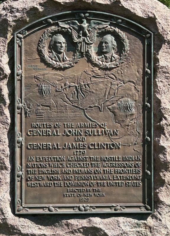
Photographed by Susan A. Dalaba, September 4, 2024
1. Routes of the Armies Marker
General John Sullivan
and
General James Clinton
1779
State of New York
1929
Erected 1929 by State of New York.
Topics. This memorial is listed in these topic lists: Indigenous Peoples and Communities • War, US Revolutionary. A significant historical year for this entry is 1779.
Location. 42° 48.964′ N, 76° 44.95′ W. Memorial is in Seneca Falls, New York, in Seneca County. It is at the intersection of New York State Route 89 and Leaderview Lane, on the left when traveling south on New York State Route 89. Touch for map. Memorial is in this post office area: Seneca Falls NY 13148, United States of America. Touch for directions.

Regionally, this memorial is in Upstate New York, specifically in Western New York, and in the Finger Lakes. It is also in the American Northeast and in the Mid-Atlantic. Globally, it is in North America, the Western Hemisphere,
this page online
Other nearby markers. At least 8 other markers are within 3 miles of this marker, measured as the crow flies: Burrough's Point (here, next to this marker); Cayuga Lake (about 700 feet away, measured in a direct line); Site of Indian Village (approx. 1.1 miles away); Site of Clarktown (approx. 1½ miles away); Indian Village at Canoga Landing (approx. 2.2 miles away); The Frontenac (approx. 2.4 miles away); Missionaries To The Cayuga (approx. 2½ miles away); a different marker also named Routes of the Armies (approx. 2½ miles away). Touch for a list and map of all markers in Seneca Falls.

Photographed by Susan A. Dalaba, September 4, 2024
2. Routes of the Armies Marker
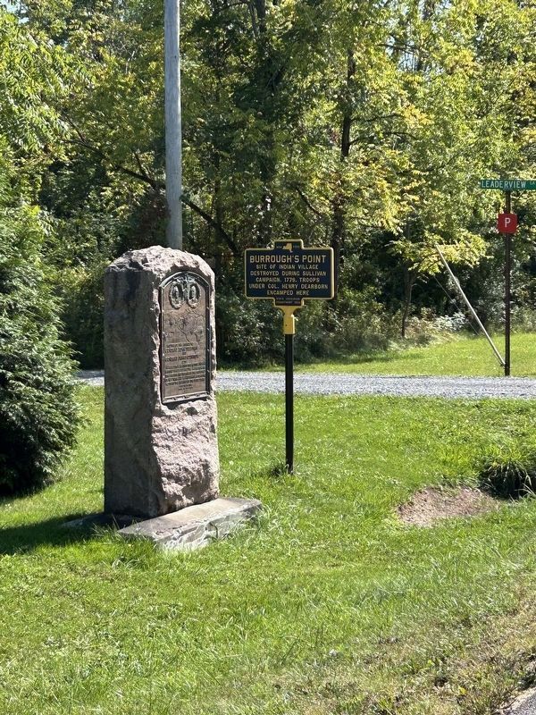
Photographed by Susan A. Dalaba, September 4, 2024
3. Routes of the Armies Marker
and Burrough's Point Marker
and Burrough's Point Marker
Credits. This page was last revised on September 10, 2024. It was originally submitted on September 4, 2024, by Susan A. Dalaba of Cortland, New York. This page has been viewed 182 times since then and 16 times this year. Photos: 1, 2, 3. submitted on September 4, 2024, by Susan A. Dalaba of Cortland, New York. • Michael Herrick was the editor who published this page.
