Enoch in Iron County, Utah — The American Mountains (Southwest)
First Wagon Over the Old Spanish Trail

Photographed by Jeremy Snow, September 3, 2024
1. First Wagon Over the Old Spanish Trail Marker
Erected 1948 by Spanish Trail Association.
Topics and series. This historical marker is listed in this topic list: Roads & Vehicles. In addition, it is included in the Old Spanish National Trail series list. A significant historical date for this entry is May 15, 1848.
Location. 37° 45.847′ N, 113° 2.615′ W. Marker is in Enoch, Utah, in Iron County. It can be reached from Santa Fe Trail. Touch for map. Marker is at or near this postal address: 4763 Santa Fe Trail, Cedar City UT 84721, United States of America. Touch for directions.

Regionally, this marker is in Utah’s Color Country. It is also in the American Mountain West and on the
this page online
Other nearby markers. At least 8 other markers are within walking distance of this marker: Old Enoch Schools (here, next to this marker); Old School Library (about 300 feet away, measured in a direct line); The "Valley" (about 700 feet away); Pipe Rings Fence (approx. 0.4 miles away); Barbed Wire Telephone Line (approx. 0.4 miles away); Grimshaw/Hunter Family (approx. 0.4 miles away); Rush Lake (approx. 0.6 miles away); Armstong Adobe House (approx. 0.6 miles away). Touch for a list and map of all markers in Enoch.
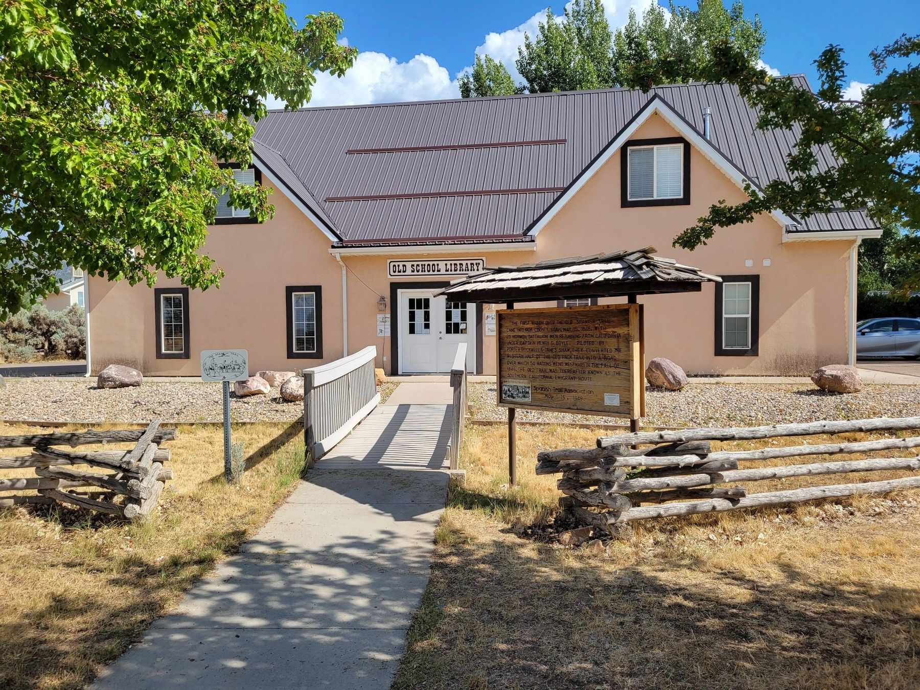
Photographed by Jeremy Snow, September 3, 2024
2. First Wagon Over the Old Spanish Trail Marker

Photographed by Jeremy Snow, September 3, 2024
3. Old Spanish Trail Ruts
Old Spanish Trail Ruts located just to the east (right) side of the marker
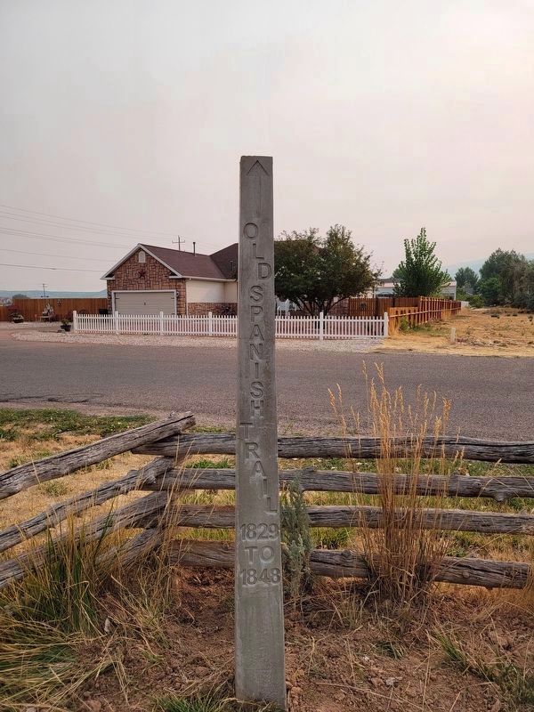
Photographed by Jeremy Snow, September 11, 2024
4. Nearby Old Spanish Trail Obelisque
This Old Spanish Trail marker obelisque is located about 25 yards to the east, at the end of the visible trail trace.
Credits. This page was last revised on September 12, 2024. It was originally submitted on September 4, 2024, by Jeremy Snow of Cedar City, Utah. This page has been viewed 287 times since then and 32 times this year. Photos: 1, 2, 3. submitted on September 4, 2024, by Jeremy Snow of Cedar City, Utah. 4. submitted on September 11, 2024, by Jeremy Snow of Cedar City, Utah. • Andrew Ruppenstein was the editor who published this page.
