Central in Denver in Denver County, Colorado — The American Mountains (Southwest)
Colorado State Capitol
Denver Civic Center
| — | National Historic Landmark | — |
Photographed by Craig Baker
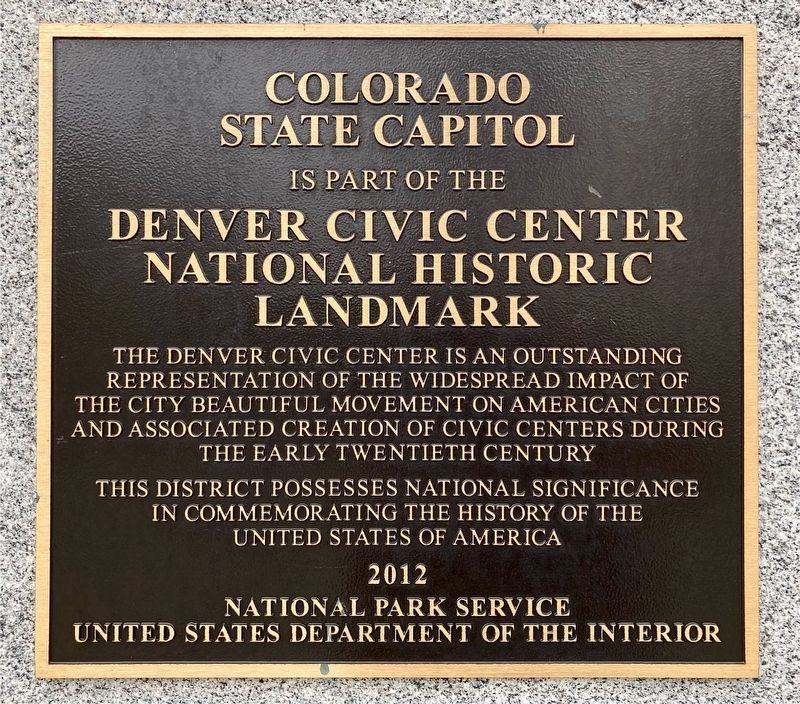
1. Colorado State Capitol Marker
Colorado State Capitol is part of the Denver Civic Center National Historic Landmark.
The Denver Civic Center is an outstanding representation of the widespread impact of the City Beautiful movement on American cities and associated creation of civic centers during the early twentieth century.
This district possesses national significance in commemorating the history of the United States of America.
2012 - National Park Service - United States Department of the Interior.
Erected 2012.
Topics and series. This historical marker is listed in these topic lists: Architecture • Parks & Recreational Areas. In addition, it is included in the National Historic Landmarks series list.
Location. 39° 44.392′ N, 104° 59.093′ W. Marker is in Denver, Colorado, in Denver County. It is in Central. It is at the intersection of Colfax Avenue and Sherman Street, on the right when traveling east on Colfax Avenue. Located at the Capitol north entrance. Touch for map. Marker is at or near this postal address: 120 E Colfax Ave, Denver CO 80203, United
this page online

Regionally, this marker is in the Front Range. It is also in the American Mountain West. Globally, it is in North America, the Rocky Mountains, the Western Hemisphere, the Western World, and the Anglosphere. Historically, it finds itself in what was once the Louisiana Purchase.
Other nearby markers. At least 8 other markers are within walking distance of this marker: Colorado State Capitol Time Capsule (within shouting distance of this marker); Armenian Genocide (within shouting distance of this marker); Colorado Soldier's Monument (about 300 feet away, measured in a direct line); Sand Creek Massacre (about 300 feet away); USS Colorado BB-45 (about 400 feet away); Logan’s Memorial Day Order (about 400 feet away); Irving Hale (about 400 feet away); Colorado State Veterans Memorial (about 500 feet away). Touch for a list and map of all markers in Denver.
Related marker. Click here for another marker that is related to this marker. - Civic Center interpretive sign.

Photographed by Craig Baker, August 22, 2024
2. Colorado State Capitol Marker
Photographed by Craig Baker, August 22, 2024
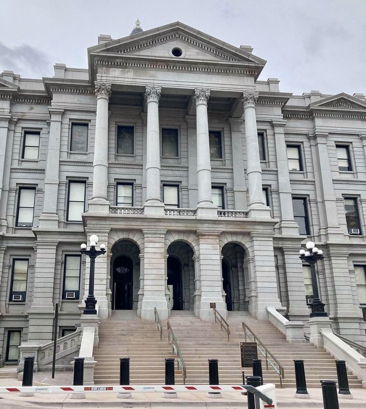
3. North Entrance and Marker
Photographed by Craig Baker, August 22, 2024
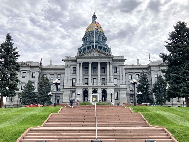
4. Colorado State Capitol
Photographed by Craig Baker, August 22, 2024
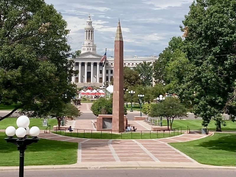
5. Denver Civic Center
Viewed from the State Capitol building. In the distance is the City & County building.

Photographed by Craig Baker, August 22, 2024
6. Civic Center Orientation Map
Credits. This page was last revised on November 2, 2024. It was originally submitted on September 5, 2024, by Craig Baker of Sylmar, California. This page has been viewed 270 times since then and 30 times this year. Photos: 1, 2, 3, 4. submitted on September 5, 2024, by Craig Baker of Sylmar, California. 5. submitted on August 22, 2024, by Craig Baker of Sylmar, California. 6. submitted on September 5, 2024, by Craig Baker of Sylmar, California.
