
Near Dillon in Beaverhead County, Montana — The American West (Mountains)
it has a singular appearence
Meriwether Lewis, August 10, 1895

Photographed by Barry Swackhamer, June 28, 2024
1. it has a singular appearence - Meriwether Lewis, August 10, 1895 Marker
Captions: (lower left) Montana - 360 Million Years Ago --
The positions of the continents and oceans have changed over time through a process called plate tectonics. This part of Montana, for example, was located near the equator during the Mississippian Period as shown on the map. Since then it has been moved thousands of miles by plate tectonic forces to its present position halfway between the North Pole and the equator. The landscape has also changed many times in 350 million years. In this case, the land that was once covered by tropical ocean water has been uplifted thousands of feet above sea level by plate tectonic forces.
The Big Island
Camp Fortunate was located near the base of the prominent island in Clark Canyon Reservoir. The singular mountain in the open plain that Meriwether Lewis described is a limestone rock outcrop that separated the "two forks of the Jefferson River" prior to submergence in 1964. The rock is prominently exposed today due to a combination of the uplift of the ground and the slow erosion of the limestone in the arid climate of southwest Montana.
Mississippian Limestone
South Montana was covered by a topical ocean some 360 million years ago during a time geologists call the Mississippi Period. This rock outcrop originated as seashells that accumulated on the bottom of this ocean. The shells were buried and cemented together fo form a rock type called limestone. Geologists call this limestone the Madison Group.
A Tropical Paradise in Montana
It is amazing to envision that the place where you now stand was once a tropical marine paradise, occupied by fish, sharks, squid, corals, crinoids, brachiopods, bryozoans and many other marine animals. If you look carefully at the rocks you will see
this page online
Look at the sample of Mississippian limestone next to the sign and see if you can find the fossils shown in the photos below.
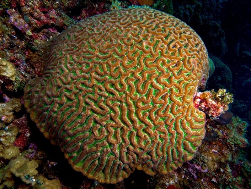
Corals
Corals are related to sea anemones, jellyfish and other animals with a sac-like body and tentacles with stinging cells. They live in a mineralized cup called a theca and they filter the water for live food. Most corals live in colonies, but many in the past lived as solitary animals. A fossil of a solitary Rugose coral is shown in the photo.
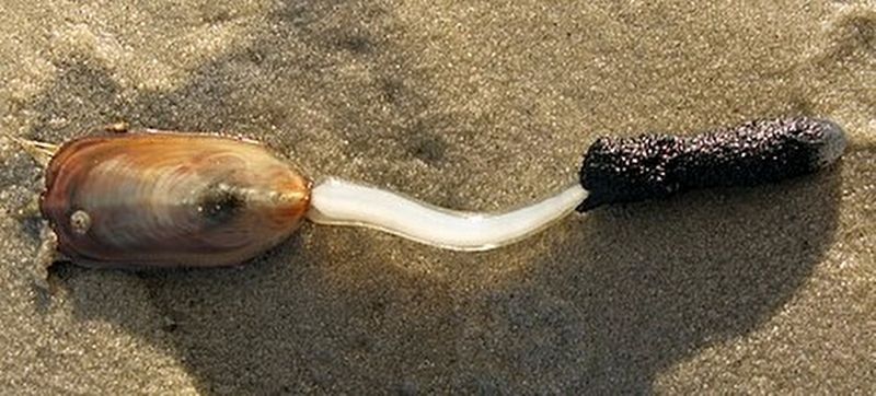
Brachiopods
Brachiopods are bottom-dwelling animals that use sticky tentacles to filter the ocean water for suspended food particles.. They usually fix themselves to the sea floor by a means of a fleshy stalk. Their two valves might remind you of a clam, but they are not closely related. Brachiopods have managed to survive on the Earth for about 600 million years!
Bryozoans
Bryozoans are twig-like animals that are very closely related to brachiopods. The "twigs" are actually colonies of animals that

Photographed by Barry Swackhamer, June 28, 2024
2. it has a singular appearence - Meriwether Lewis, August 10, 1895 Marker
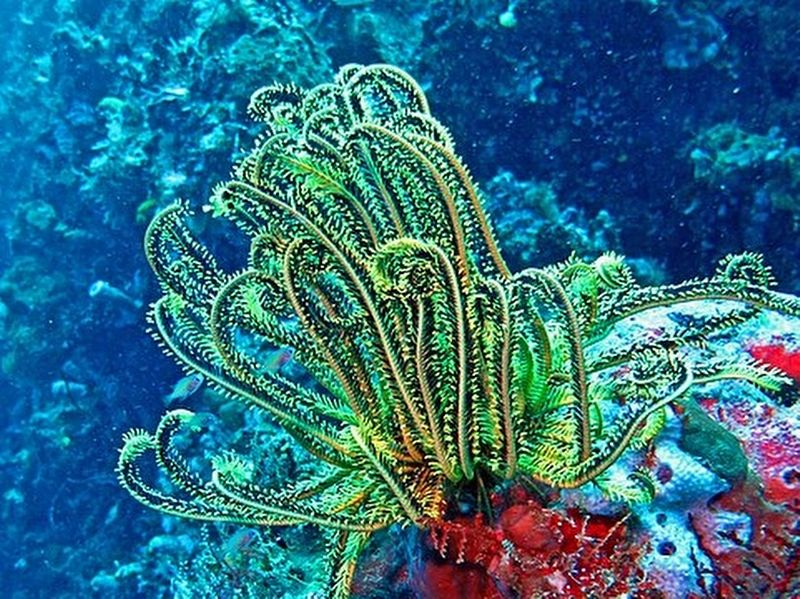
Crinoids
Crinoids are marine invertebrate animals that are related to starfish, sand dollars, sea-urchins and other animals with bodies that are organized into patterns of five (pentameral symmetry). Although they look like plants, their arms are lined with tube feet that are used to capture plankton. The most common parts of crinoids to be preserved as fossils are the pieces of the arm of animal (shown in photos).
(across the bottom:)
The Geological Time Scale (not shown to scale)
Divisions of geological time were defined in the 19th Century by major changes in the fossil record.
Most of the boundaries are marked by worldwide extinction events.
Numerical dates were added in the 20th Century using modern rock-dating techniques.
PRECAMBRIAN 4500 million years ago Earth began Formation of igneous and metamorphic rocks.
PALEOZOIC ERA 542 million years ago Deposition of the Madison Group limestone during
Photographed by Commonswikipedia, March 21, 2010
3. Coral
MESOZOIC ERA 250 million years ago Deposition of sedimentary rocks, folding and thrust faulting
CENOZOIC ERA 66 million years ago Deposition of sedimentary and volcanic rock, extension of the Earth's crust and formation of the Red Rock Valley and Tendoy Mountains.
Erected by Reclamation, University of Montana Western.
Topics and series. This historical marker is listed in these topic lists: Animals • Exploration • Natural Features. In addition, it is included in the Lewis & Clark Expedition series list. A significant historical date for this entry is August 10, 1805.
Location. 44° 59.662′ N, 112° 52.097′ W. Marker is near Dillon, Montana, in Beaverhead County. It is on State Highway 324 near Lake View Road, on the right when traveling east. The marker is found at the Clark Canyon Recreation Area. Touch for map. Marker is in this post office area: Dillon MT 59725, United States of America. Touch for directions.

Regionally, this marker is in andspecifically outhwest Montana, in Gold West Country, in Mining Country. It is also in the American Mountain West and in the Lewis & Clark Corridor. Globally,
Photographed by Commonswikipedia
4.
Other nearby markers. At least 8 other markers are within walking distance of this marker: …the End of the Northwest Passage? (a few steps from this marker); The Route and Campsites of Lewis and Clark in Montana: A Geologic Perpective (a few steps from this marker); Reunion at Camp Fortunate (a few steps from this marker); Camp Fortunate (a few steps from this marker); The Lewis and Clark Expedition (approx. ¼ mile away); Fortunate Camp (approx. ¼ mile away); "it was mutually advantageous..." (approx. ¼ mile away); Sacajawea (approx. 0.6 miles away). Touch for a list and map of all markers in Dillon.

Photographed by Barry Swackhamer
5. Bryozoa
Photographed by Barry Swackhamer
6. Crinoid
Credits. This page was last revised on September 5, 2024. It was originally submitted on September 5, 2024, by Barry Swackhamer of Brentwood, California. This page has been viewed 1,353 times since then and 117 times this year. Photos: 1, 2, 3, 4, 5, 6. submitted on September 5, 2024, by Barry Swackhamer of Brentwood, California.

m=256062
Jul. 27, 2026