Anastasia in St. Augustine in St. Johns County, Florida — The American South (South Atlantic)
Florida Skipjack: Then
Photographed by Craig Doda, September 1, 2024
1. Florida Skipjack: Then Marker
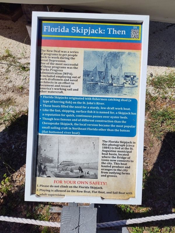
The New Deal was a series of programs to get people back to work during the Great Depression. One of the most successful of these programs was the Works Progress Administration (WPA). It included employing out of work draftsmen and naval architects in an effort to document and record America's working sail and other watercraft.
• Florida Skipjacks originated with fishermen catching shad (a type of herring fish) on the St. John's River.
• These boats filled the need for a sturdy, low-draft work boat.
• Like the fast, skipping, surface fish it is named for, a Skipjack has a reputation for quick, continuous passes over oyster beds.
• Though less famous and of different construction than the Chesapeake Skipjack, the local version became the most popular small sailing craft in Northeast Florida other than the bateau (flat-bottomed river boat).
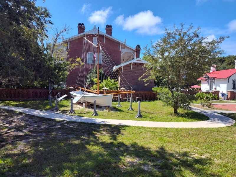
The Florida Skipjack in this photograph (circa 1884) is tied at the St. Augustine municipal boat basin, located where the Bridge of Lions now connects to the city. This boat hauled produce and oranges to the city from outlying farms and groves.
Topics and series.
this page online
Location. 29° 53.141′ N, 81° 17.29′ W. Marker is in St. Augustine, Florida, in St. Johns County. It is in Anastasia. It is at the intersection of Red Cox Drive and Ocean Vista Avenue, on the right when traveling south on Red Cox Drive. Touch for map. Marker is at or near this postal address: 81 Lighthouse Ave, Saint Augustine FL 32080, United States of America. Touch for directions.

Regionally, this marker is in First Coast and in Greater Jacksonville. It is also in the American South and on the Eastern Seaboard. Globally, it is in the North Atlantic Region, North America, a Gulf of Mexico state, the Western Hemisphere, the Western World, and the Anglosphere. Historically, it finds itself in what was once New Spain, the territory of the Mississippian Culture, one of the Confederate States of America, and the Antebellum South.
Other nearby markers. At least 8 other markers are within walking distance of this
Photographed by Craig Doda, September 1, 2024
2. Florida Skipjack: Then Marker
Credits. This page was last revised on September 10, 2024. It was originally submitted on September 6, 2024, by Craig Doda of Napoleon, Ohio. This page has been viewed 233 times since then and 30 times this year. Photos: 1, 2. submitted on September 6, 2024, by Craig Doda of Napoleon, Ohio. • Devry Becker Jones was the editor who published this page.
