
Near Battlefield in Greene County, Missouri — The American Midwest (Upper Plains)
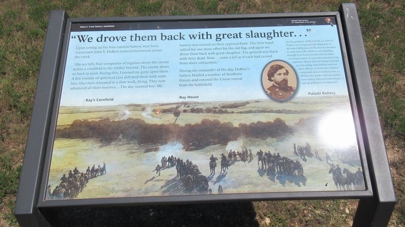
"We drove them back with great slaughter..."
| — | Wilson's Creek National Battlefield | — |
Photographed by Jason Armstrong, July 30, 2023
1. "We drove them back with great slaughter..." Marker
"On our left, four companies of regulars drove the enemy across a cornfield to the timber beyond. The enemy drove us back in turn. Seeing this, I turned my guns upon them. A few rounds of spherical case defeated them with some loss. Our men retreated at a slow walk, firing. They now advanced all their reserves...The day seemed lost. My battery was turned on their exposed flank. The little band rallied for one more effort for the old flag, and again we drove them back with great slaughter. The ground was black with their dead. Now...came a lull as if each had ceased from sheer exhaustion."
During the remainder of the day, DuBois's battery blasted a number of Southern threats and covered the Union retreat from the battlefield.
(caption) An 1851 graduate of West Point, Lt. John V. DuBois was assigned to the Regiment of Mounted Riflemen, on the western frontier. In early June, 1861, Dubois was traveling through Fort Leavenworth, Kansas while escorting a batch of 255 replacements for the regiment. Major Samuel Sturgis took the recruits, along with DuBois and two other officers, to form two infantry companies and an artillery battery. Within two weeks, Dubois and his new battery marched with Sturgis to link up with Lyon in Missouri.
Erected by National
this page online
Topics. This historical marker is listed in this topic list: War, US Civil. A significant historical date for this entry is August 10, 1861.
Location. 37° 6.396′ N, 93° 24.78′ W. Marker is near Battlefield, Missouri, in Greene County. It can be reached from Tour Road 0.9 miles south of West Farm Road 182, on the right when traveling north. Located about 1200 feet east of the Bloody Hill Parking Area on the walking trail. Touch for map. Marker is in this post office area: Brookline MO 65619, United States of America. Touch for directions.

Regionally, this marker is in Greater Springfield. It is also in the American Ozarks, in the Lewis & Clark Corridor, and in the Corn Belt. Globally, it is in North America, the Western Hemisphere, the Western World, and the Anglosphere. Historically, it finds itself in what was once the territory of the Mississippian Culture, the Louisiana Purchase, and the Antebellum South.
Other nearby markers. At least 8 other markers are within walking distance of this marker: U.S. Model 1841 12 Pounder Gun (here, next to this marker); Missourians, Never Run
Photographed by Jason Armstrong, July 30, 2023
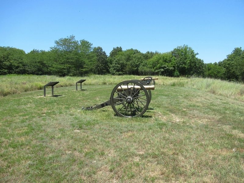
2. DuBois Cannon Line
Also see . . . Wilson's Creek National Battlefield. National Park Service (Submitted on September 8, 2024.)
Credits. This page was last revised on September 19, 2024. It was originally submitted on September 8, 2024, by Jason Armstrong of Talihina, Oklahoma. This page has been viewed 242 times since then and 68 times this year. Photos: 1, 2. submitted on September 8, 2024, by Jason Armstrong of Talihina, Oklahoma. • Bernard Fisher was the editor who published this page.
