Woodbury in Washington County, Minnesota — The American Midwest (Upper Plains)
Farming Roots
Photographed by McGhiever, September 9, 2024
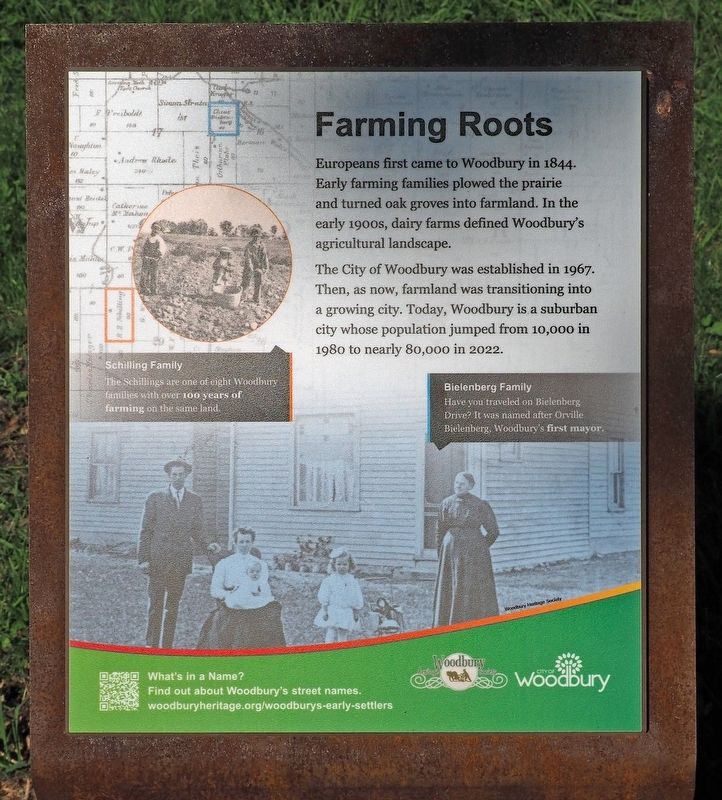
1. Farming Roots Marker
Europeans first came to Woodbury in 1844. Early farming families plowed the prairie and turned oak groves into farmland. In the early 1900s, dairy farms defined Woodbury's agricultural landscape.
The City of Woodbury was established in 1967. Then, as now, farmland was transitioning into a growing city. Today, Woodbury is a suburban city whose population jumped from 10,000 in 1980 to nearly 80,000 in 2022.
Schilling Family
The Schillings are one of eight Woodbury families with over 100 years of farming on the same land.
Bielenberg Family
Have you traveled on Bielenberg Drive? it was named after Orville Bielenberg, Woodbury's first mayor.
Erected 2023 by Woodbury Heritage Society and the City of Woodbury.
Topics. This historical marker is listed in these topic lists: Agriculture • Settlements & Settlers. A significant historical year for this entry is 1844.
Location. 44° 55.625′ N, 92° 52.47′ W. Marker is in Woodbury, Minnesota, in Washington County. It can be reached from Conifer Pass east of Whitewater Drive. The marker is in Valley Creek Park, near the north trail entrance off Conifer Pass. Touch for map.
this page online

Regionally, this marker is in the Twin Cities Metropolitan Area. It is also in the American Midwest, in the Corn Belt, and in the Great River Road Region. Globally, it is in North America, the Western Hemisphere, the Western World, and the Anglosphere. Historically, it finds itself in what was once Rupert’s Land, the territory of the Mississippian Culture, and the Northwest Territory.
Other nearby markers. At least 8 other markers are within 7 miles of this marker, measured as the crow flies: What's Under Your Feet? (within shouting distance of this marker); Farmland to Forest (about 500 feet away, measured in a direct line); Neighbors Helping Neighbors (approx. 0.2 miles away); Helping Hands (approx. 0.3 miles away); The Miller Barn (approx. 0.3 miles away); The St. Croix River Valley / Welcome to Minnesota (approx. 3.1 miles away); Bolles Flour Mill (approx. 4.8 miles away); In the Summer of 1910 (approx. 6½ miles away in Wisconsin). Touch for a list and map of all markers in Woodbury.
Also see . . . What's in a Name? Find out about Woodbury's street names.
Photographed by McGhiever, September 9, 2024
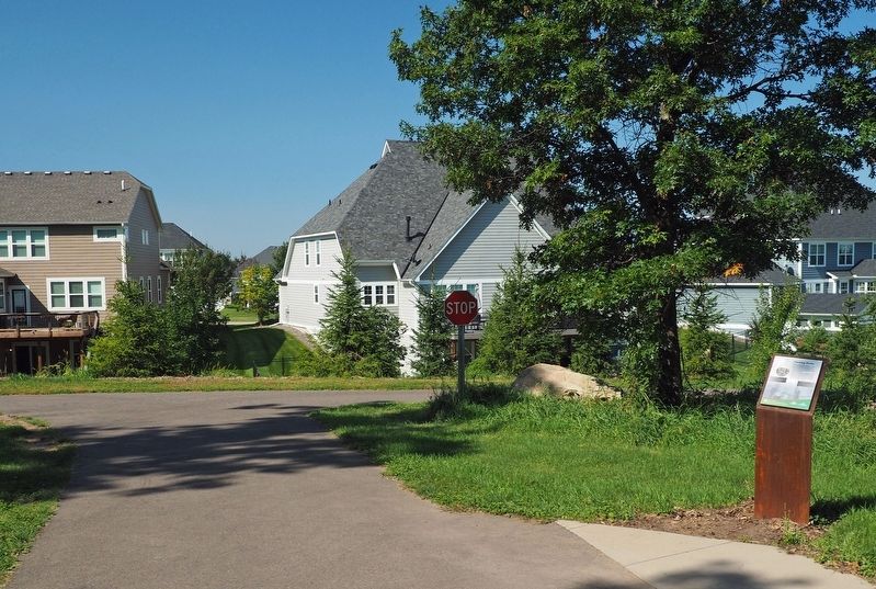
2. Farming Roots Marker at the trail intersection in the northwest corner of Valley Creek Park
Credits. This page was last revised on September 11, 2024. It was originally submitted on September 10, 2024, by McGhiever of Minneapolis, Minnesota. This page has been viewed 125 times since then and 16 times this year. Photos: 1, 2. submitted on September 10, 2024, by McGhiever of Minneapolis, Minnesota.
