Kill Devil Hills in Dare County, North Carolina — The American South (South Atlantic)
Colington Island

Photographed by Tom Bosse, September 7, 2024
1. Colington Island Marker
Erected 2016 by North Carolina Office of Archives and History. (Marker Number B 37.)
Topics. This historical marker is listed in these topic lists: Colonial Era • Settlements & Settlers. A significant historical date for this entry is September 8, 1663.
Location. 36° 1.619′ N, 75° 39.917′ W. Marker is in Kill Devil Hills, North Carolina, in Dare County. It is at the intersection of East Landing Drive and North Virginia Dare Trail (North Carolina Route 12), on the right when traveling east on East Landing Drive. Touch for map. Marker is in this post office area: Kill Devil Hills NC 27948, United States of America. Touch for directions.

Regionally, this marker is in the Coastal Plain and on the Outer Banks. It is also in the American South, specifically in the Upper South, in the Tidewater, and on the Eastern Seaboard. Globally, it is in the North Atlantic Region, North America, the Western Hemisphere, the Western World, and the Anglosphere. Historically, it finds itself in what was once the territory of
this page online
Other nearby markers. At least 8 other markers are within walking distance of this marker: End of 4th Flight (approx. 0.4 miles away); Kill Devil Hills Fire Rescue Memorial (approx. 0.4 miles away); Wright Brothers National Memorial Visitor Center (approx. half a mile away); Remembering First Flight (approx. half a mile away); They Taught Us to Fly (approx. half a mile away); Wind, Sand, & Isolation (approx. half a mile away); From Ohio to the Outer Banks (approx. half a mile away); End of 3rd Flight (approx. half a mile away). Touch for a list and map of all markers in Kill Devil Hills.
Another marker is no longer nearby. Wright Brothers (was approx. 0.4 miles away but has been replaced with another marker now near it).
Also see . . .
1. Tiny Colington Island: Big on Historical First. (Submitted on September 15, 2024, by Brandon D Cross of Flagler Beach, Florida.)
2. Colington Island: The Other Lost Colony. (Submitted on September 15, 2024, by Brandon D Cross of Flagler Beach, Florida.)
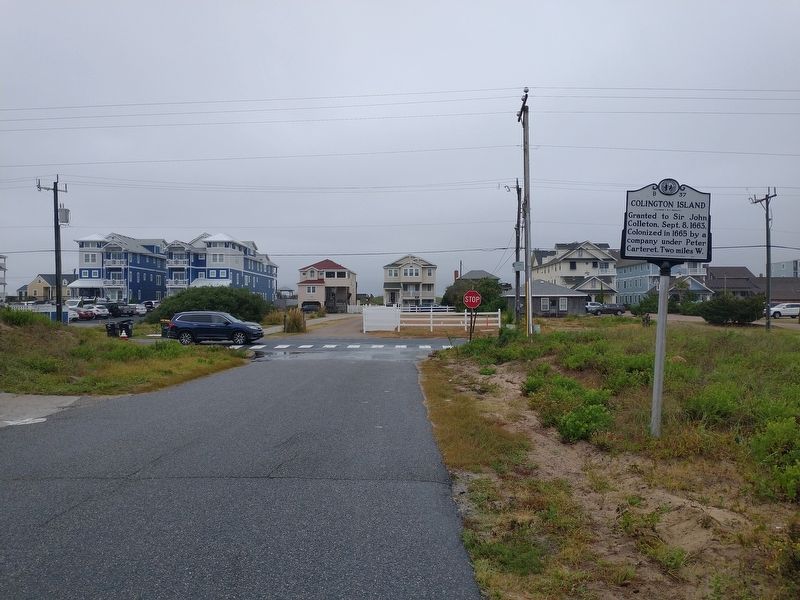
Photographed by Tom Bosse, September 7, 2024
2. Colington Island Marker
Credits. This page was last revised on September 28, 2024. It was originally submitted on September 10, 2024, by Tom Bosse of Jefferson City, Tennessee. This page has been viewed 317 times since then and 52 times this year. Photos: 1, 2. submitted on September 10, 2024, by Tom Bosse of Jefferson City, Tennessee. • Bernard Fisher was the editor who published this page.
