Hatteras in Dare County, North Carolina — The American South (South Atlantic)
U-boats Off North Carolina's Coast
War on America's Doorstep
| — | Monitor National Marine Sanctuary | — |

Photographed by Tom Bosse, September 9, 2024
1. U-boats Off the Mid-Atlantic Coast Marker
More than any other place in the United States, coastal Virginia and North Carolina serve as a uniquely accessible underwater museum and memorial to WWII's Battle of the Atlantic. Since 2008, NOAA's Monitor National Marine Sanctuary and partners have documented and surveyed this unique collection of WWII Allied and German vessels. NOAA's goal is to protect these fragile historic resources for future generations, and to preserve the memory of the brave Allied service men and U.S. merchant mariners who fought to rid the world of tyranny.
NOAA's
this page online
(captions)
U-123 attacked and sank the merchant freighter City of Atlanta. Of the 46 member crew, 43 were lost, resulting in the largest loss of life among the ships torpedoed off North Carolina’s coast. Multibeam Image Credit: NOAA/ADUS
The merchant tanker Dixie Arrow sank in less than a minute after being attacked by U-71. Of the 33 crewmembers only 22 survived. Credit: National Archives
The converted British fishing trawler HMT Bedfordshire sank when attacked by U-558 off Cape Lookout with the loss of all 37 crewmembers. Credit: National Archives
The German U-701, one of the most deadly U-boats operating off the mid-Atlantic in 1942, laid a minefield during its last cruise at the mouth of the Chesapeake Bay and sank four ships and damaged five others. Multibeam Image Credit: NOAA/ADUS
Erected by Office of National Marine Sanctuaries, National Ocean and Atmospheric Administration, U.S Department of Commerce.
Topics. This historical marker is listed in these topic lists: War, World II
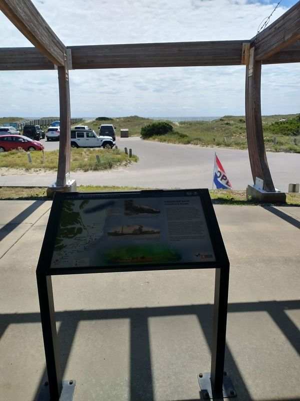
Photographed by Tom Bosse, September 9, 2024
2. U-boats Off the Mid-Atlantic Coast Marker
Location. 35° 12.372′ N, 75° 42.235′ W. Marker is in Hatteras, North Carolina, in Dare County. It can be reached from Museum Drive 0.1 miles west of North Carolina Route 12, on the right when traveling west. Marker located at the entrance of the Graveyard of the Atlantic Museum. Touch for map. Marker is at or near this postal address: 59200 Museum Drive, Hatteras NC 27943, United States of America. Touch for directions.

Regionally, this marker is in the Coastal Plain and on the Outer Banks. It is also in the American South, specifically in the Upper South, in the Tidewater, and on the Eastern Seaboard. Globally, it is in the North Atlantic Region, North America, the Western Hemisphere, the Western World, and the Anglosphere. Historically, it finds itself in what was once the territory of the Mississippian Culture, one of the original Thirteen Colonies, one of the Confederate States of America, and the Antebellum South.
Other nearby markers. At least 8 other markers are within 2 miles of this marker, measured as the crow flies: Flagship USS Minnesota/Hotel de Afrique
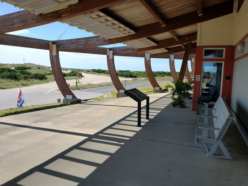
Photographed by Tom Bosse, September 9, 2024
3. U-boats Off the Mid-Atlantic Coast Marker
Also see . . . Graveyard of the Atlantic Museum. (Submitted on September 11, 2024.)
Credits. This page was last revised on September 11, 2024. It was originally submitted on September 11, 2024, by Tom Bosse of Jefferson City, Tennessee. This page has been viewed 300 times since then and 32 times this year. Photos: 1, 2, 3. submitted on September 11, 2024, by Tom Bosse of Jefferson City, Tennessee. • Bernard Fisher was the editor who published this page.
