Bay City in Bay County, Michigan — The American Midwest (Great Lakes)
Signal Shack
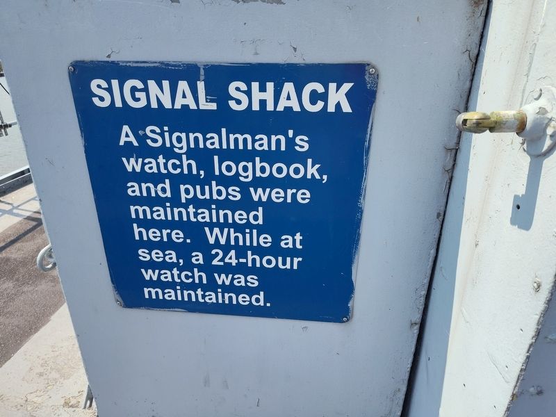
Photographed by Craig Doda, August 25, 2024
1. Signal Shack Marker
Topics. This historical marker is listed in these topic lists: Communications • Military • Waterways & Vessels.
Location. 43° 36.828′ N, 83° 52.163′ W. Marker is in Bay City, Michigan, in Bay County. It is at the intersection of McGillivary Road and Marquette Avenue, on the right when traveling south on McGillivary Road. Touch for map. Marker is at or near this postal address: 1680 Martin St, Bay City MI 48706, United States of America. Touch for directions.

Regionally, this marker is in Mid-Michigan and in one of the Lake Huron Shore counties. It is also in the American Midwest. Globally, it is in North America, on the Great Lakes, in the Western Hemisphere, in the Western World, and in the Anglosphere. Historically, it finds itself in what was once the Northwest Territory.
Other nearby markers. At least 8 other markers are within 2 miles of this marker, measured as the crow flies: Signal Bridge (here, next to this marker); Motor Whaleboat 26 Ft
this page online
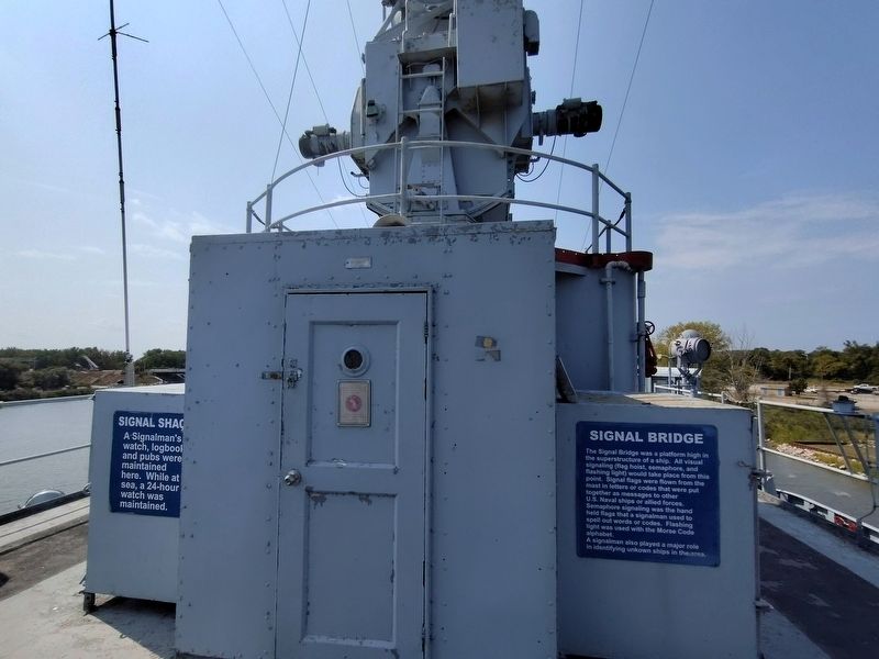
Photographed by Craig Doda, August 25, 2024
2. Signal Shack Marker
Credits. This page was last revised on September 18, 2024. It was originally submitted on September 11, 2024, by Craig Doda of Napoleon, Ohio. This page has been viewed 149 times since then and 15 times this year. Photos: 1, 2. submitted on September 11, 2024, by Craig Doda of Napoleon, Ohio. • Devry Becker Jones was the editor who published this page.
