
Downtown in Fairbanks in Fairbanks North Star Borough, Alaska — Northwest (North America)
The 1967 Chena River Flood
Photographed by William Fischer, Jr., August 17, 2024
1. The 1967 Chena River Flood Marker
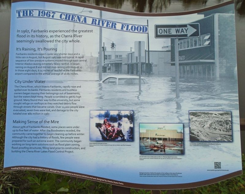
In 1967, Fairbanks experienced the greatest flood in its history, as the Chena River seemingly swallowed the city whole.
It's Raining, It's Pouring
Fairbanks residents expect cooler and shorter days and a little rain in August, but August 1967 was not typical. A rapid sequence of low-pressure systems moved through east-central Interior Alaska causing extremely heavy rainfall. It began raining on August 8 and did not stop raining until August 15. In those eight days, 6.15 inches of rain fell at the Fairbanks airport compared to the annual average of 10.81 inches.
City Under Water
The Chena River, which bisects Fairbanks, rapidly rose and spilled over its banks. Fairbanks residents and business owners began moving their belongings out of basements, but the waters kept rising. People scrambled to get to high ground. Many found their way to the university, but some sought refuge on rooftops as they watched debris flow through streets that became canals. Over 12,000 people were evacuated, seven lives were lost, and damage to the city totaled over $80 million in 1967.
Making Sense of the Mire
About 95% of Fairbanks
this page online
Background photo: Notice the people on the rooftop in this view of Cushman Street under water and Immaculate Conception Parish in the distance.
[Photo captions, left to right, read]
• Area residents evacuate by boat.
• Air and water rescue takes place at the J.C. Penney department store.
• Aerial photo showing the extent of the flood in Fairbanks.
Erected by City of Fairbanks, NOAA Preserve America Initiative, and Alaska State Parks.
Topics and series. This historical marker is listed in these topic lists: Charity & Public Work • Disasters • Waterways & Vessels. In addition, it is included in the National Oceanic and Atmospheric Administration (NOAA) series list. A significant historical date for this entry is August 15, 1967.
Location. 64° 50.663′ N,
Photographed by William Fischer, Jr., August 17, 2024
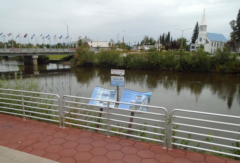
2. The 1967 Chena River Flood Markers

Regionally, this marker is in the Alaska Railroad Corridor, in the Athabascan Region, and in Interior Alaska. It is also on the American Pacific Coast. Globally, it is in North America, the Pacific Rim, the Western Hemisphere, the Western World, and the Anglosphere. Historically, it finds itself in what was once the Russian Empire.
Other nearby markers. At least 8 other markers are within walking distance of this marker: Chena River Flood (here, next to this marker); Chena River Flood Control (here, next to this marker); Pioneer Press: The Fairbanks Daily News-Miner Story (a few steps from this marker); History of North Slope Oil Development (a few steps from this marker); Greater Fairbanks Community Hospital Foundation (a few steps

Photographed by 2, August 1967
3. The 1967 Chena River Flood Marker Photo Detail
Credits. This page was last revised on September 11, 2024. It was originally submitted on September 11, 2024, by William Fischer, Jr. of Reynoldsburg, Ohio. This page has been viewed 453 times since then and 73 times this year. Photos: 1, 2, 3. submitted on September 11, 2024, by William Fischer, Jr. of Reynoldsburg, Ohio.
