Enoch in Iron County, Utah — The American Mountains (Southwest)
Pipe Rings Fence
| — | Enoch Trails | — |
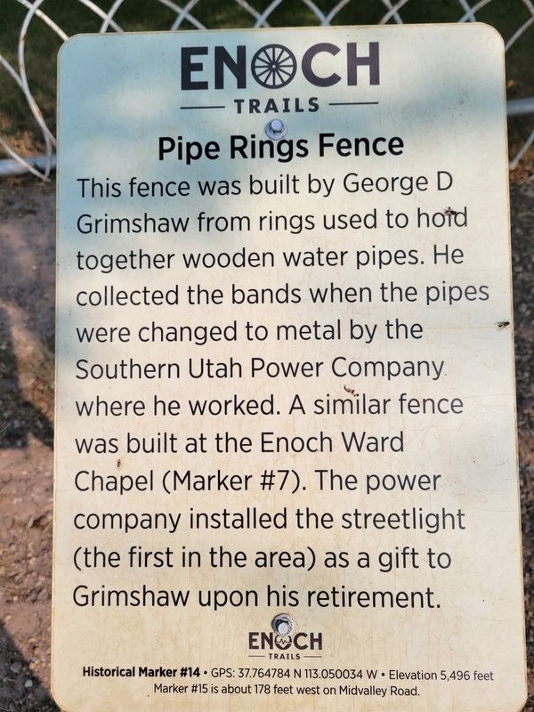
Photographed by Jeremy Snow, September 11, 2024
1. Pipe Rings Fence Marker
This fence was built by George D Grimshaw from rings used to hold together wooden water pipes. He collected the bands when the pipes were changed to metal by the Southern Utah Power Company where he worked. A similar fence was built at the Enoch Ward Chapel (Marker #7). The power company installed the streetlight (the first in the area) as a gift to Grimshaw upon his retirement.
ENOCH TRAILS
Historical Marker #14 GPS: 37.764784 N 113.050034 W Elevation 5,496 feet
Marker #15 is about 178 feet west on Midvalley Road.
Erected by Enoch City - Enoch Trails. (Marker Number 14.)
Topics and series. This historical marker is listed in this topic list: Man-Made Features. In addition, it is included in the Enoch Trails series list.
Location. 37° 45.886′ N, 113° 3.003′ W. Marker is in Enoch, Utah, in Iron County. It is on East Midvalley Road, on the right when traveling west. Touch for map. Marker is at or near this postal address: 641 E Midvalley Road, Cedar City UT 84721, United States of America. Touch for directions.

Regionally, this marker is in Utah’s Color
this page online
Other nearby markers. At least 8 other markers are within walking distance of this marker: Barbed Wire Telephone Line (within shouting distance of this marker); Grimshaw/Hunter Family (about 300 feet away, measured in a direct line); Rush Lake (approx. 0.2 miles away); First Wagon Over the Old Spanish Trail (approx. 0.4 miles away); Old Enoch Schools (approx. 0.4 miles away); Old School Library (approx. 0.4 miles away); Ivan Matheson Home (approx. 0.4 miles away); The "Valley" (approx. half a mile away). Touch for a list and map of all markers in Enoch.
Related marker. Click here for another marker that is related to this marker.
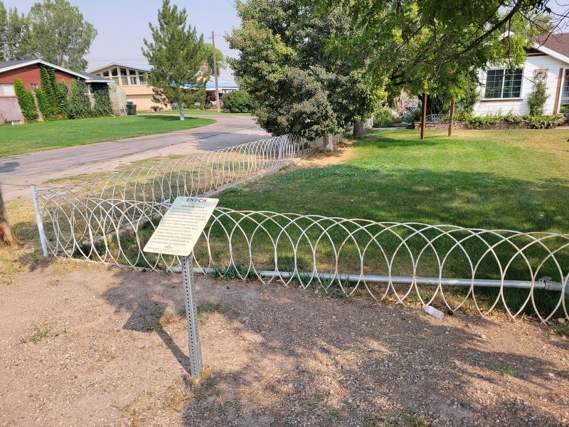
Photographed by Jeremy Snow, September 11, 2024
2. Pipe Rings Fence Marker
Credits. This page was last revised on September 11, 2024. It was originally submitted on September 11, 2024, by Jeremy Snow of Cedar City, Utah. This page has been viewed 147 times since then and 17 times this year. Photos: 1, 2. submitted on September 11, 2024, by Jeremy Snow of Cedar City, Utah. • Andrew Ruppenstein was the editor who published this page.
