Cedar City in Iron County, Utah — The American Mountains (Southwest)
Vegetable Garden
Photographed by Jeremy Snow, July 6, 2024
1. Vegetable Garden Marker
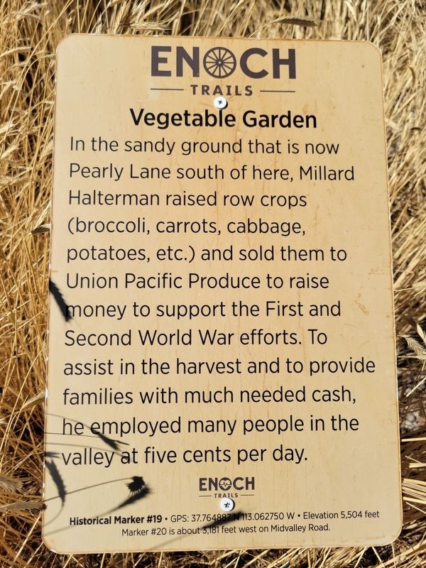
In the sandy ground that is now Pearly Lane south of here, Millard Halterman raised row crops (broccoli, carrots, cabbage, potatoes, etc.) and sold them to Union Pacific Produce to raise money to support the First and Second World War efforts. To assist in the harvest and to provide families with much needed cash, he employed many people in the valley at five cents per day.
ENOCH TRAILS
Historical Marker #19 GPS: 37.764887113.062750 W Elevation 5,504 feet
Marker #20 is about 3,181 feet west on Midvalley Road.
Erected by Enoch City - Enoch Trails. (Marker Number 19.)
Topics and series. This historical marker is listed in this topic list: Agriculture. In addition, it is included in the Enoch Trails series list.
Location. 37° 45.895′ N, 113° 3.767′ W. Marker is in Cedar City, Utah, in Iron County. It is on West Midvalley Road, on the right when traveling west. Touch for map. Marker is at or near this postal address: 20 W Midvalley Road, Cedar City UT 84721, United States of America. Touch for directions.

Regionally, this marker is in Utah’s Color Country.
this page online
Other nearby markers. At least 8 other markers are within walking distance of this marker: Midvalley School Replica (approx. 0.2 miles away); Other Dairies (approx. 0.2 miles away); School Life and the Dairy (approx. 0.2 miles away); Matheson Dairy (approx. 0.2 miles away); Ivan Matheson Home (approx. ¼ mile away); Rush Lake (approx. half a mile away); Adobe Brick Mill (approx. 0.6 miles away); Midvalley Homesteads (approx. 0.6 miles away). Touch for a list and map of all markers in Cedar City.
Photographed by Jeremy Snow, July 6, 2024
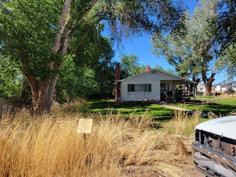
2. Vegetable Garden Marker
Credits. This page was last revised on September 12, 2024. It was originally submitted on September 11, 2024, by Jeremy Snow of Cedar City, Utah. This page has been viewed 115 times since then and 21 times this year. Photos: 1, 2. submitted on September 11, 2024, by Jeremy Snow of Cedar City, Utah. • Andrew Ruppenstein was the editor who published this page.
