Ocracoke in Hyde County, North Carolina — The American South (South Atlantic)
Growing More Resilient
| — | Cape Hatteras National Seashore | — |

Photographed by Tom Bosse, September 10, 2024
1. Growing More Resilient Marker
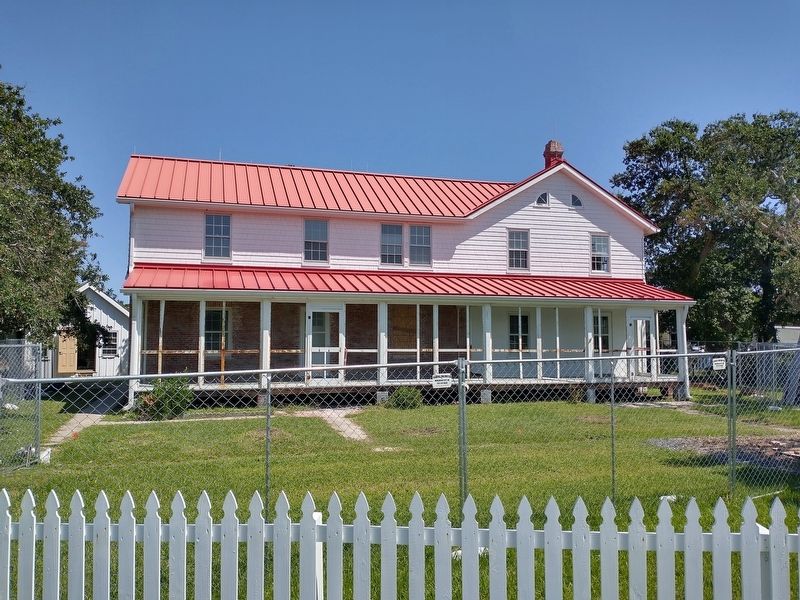
In 2019, Hurricane Dorian brought record-setting storm surge to Ocracoke Island and flooded the entire light station grounds. The Keepers’ Quarters was flooded with 18 inches of water, causing damage to much of the interior.
While Hurricane Dorian will never be forgotten on Ocracoke, the frequency of flooding will increase over the next decades, occurring ten times as often as it does today. Additionally, in the next 30 years, the National Oceanic and Atmospheric Administration has projected 10-14 inches of sea level rise along the east coast. It is only a matter of time before the next storm impacts the light station.
In 2020, United States Congress provided funding through the 2022 Disaster Supplement to restore damage caused by Hurricane
this page online
(caption) Rendering of raised Keepers’ Quarters and restored landscape. Image credit: Croft and Associates, 2023
Erected by National Park Service, U.S. Department of the Interior.
Topics and series. This historical marker is listed in these topic lists: Disasters • Parks & Recreational Areas. In addition, it is included in the Lighthouses series list. A significant historical year for this entry is 1823.
Location. 35° 6.479′ N, 75° 59.146′ W. Marker is in Ocracoke, North Carolina, in Hyde County. It is on Lighthouse Road west of Creek Road, on the right when traveling west. Touch for map. Marker is at or near this postal address: 360 Lighthouse Rd, Ocracoke NC 27960, United States of America. Touch for directions.

Regionally, this marker is in North Carolina’s Coastal Plain and on the Outer Banks. It is also in the American South, specifically
Photographed by Tom Bosse, September 10, 2024
2. Growing More Resilient Marker
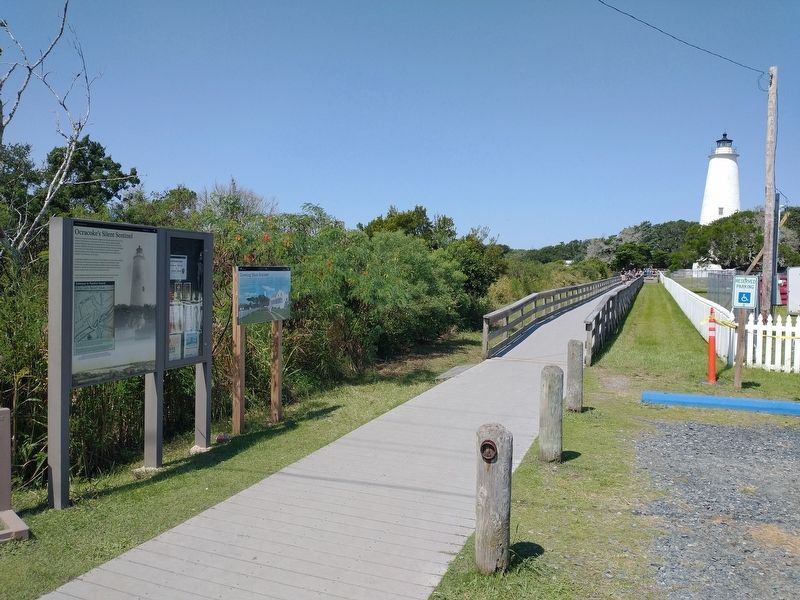
Other nearby markers. At least 8 other markers are within walking distance of this marker: Ocracoke’s Silent Sentinel (here, next to this marker); A Light for Ocracoke Inlet (within shouting distance of this marker); Living at the Light (about 300 feet away, measured in a direct line); Springer’s Point Preserve (approx. 0.2 miles away); The Island Inn Park Restoration Project (approx. 0.4 miles away); Ocracoke Lighthouse (approx. 0.4 miles away); Lake Company (approx. 0.4 miles away); USRC Mercury (approx. 0.6 miles away). Touch for a list and map of all markers in Ocracoke.
Also see . . . Ocracoke Island Lighthouse. (Submitted on September 12, 2024, by Tom Bosse of Jefferson City, Tennessee.)
Photographed by Tom Bosse, September 10, 2024
3. Ocracoke Lighthouse Keepers' Quarters

Photographed by Tom Bosse, September 10, 2024
4. Ocracoke Lighthouse

Photographed by Tom Bosse, September 10, 2024
5. Ocracoke Lighthouse
Credits. This page was last revised on September 12, 2024. It was originally submitted on September 12, 2024, by Tom Bosse of Jefferson City, Tennessee. This page has been viewed 181 times since then and 20 times this year. Photos: 1, 2, 3, 4, 5. submitted on September 12, 2024, by Tom Bosse of Jefferson City, Tennessee. • Bernard Fisher was the editor who published this page.
