Ocracoke in Hyde County, North Carolina — The American South (South Atlantic)
Ocracoke’s Silent Sentinel
| — | Cape Hatteras National Seashore | — |
Photographed by Tom Bosse, September 10, 2024
1. Ocracoke’s Silent Sentinel Marker
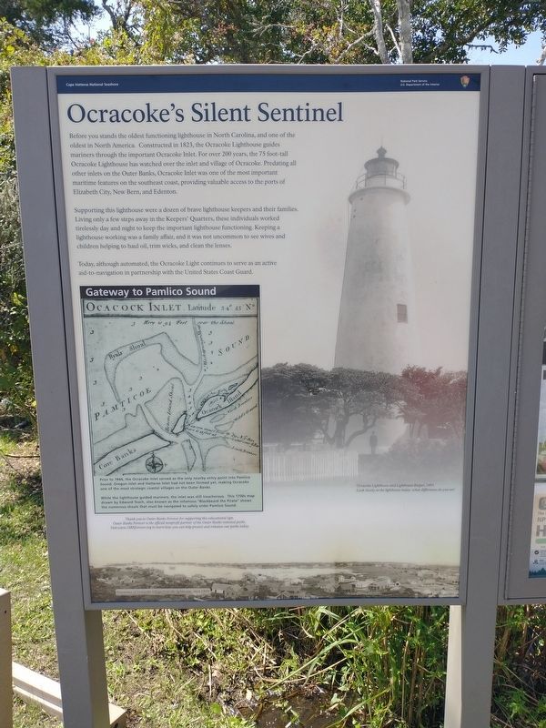
Supporting this lighthouse were a dozen of brave lighthouse keepers and their families. Living only a few steps away in the Keepers’ quarters, these individuals worked tirelessly day and night to keep the important lighthouse functioning. Keeping a lighthouse working was a family affair, and it was not uncommon to see wives and children helping to haul oil, trim wicks, and clean the lenses.
Today, although automated, the Ocracoke Light continues to serve as an active aid-to-navigation in partnership with the United States Coast Guard.
(inset) Gateway to Pamlico Sound
Prior to 1846, the Ocracoke inlet served as the only nearby entry point into Pamlico Sound. Oregon Inlet and Hatteras Inlet had not been formed yet, making Ocracoke one of the most strategic coastal villages on the Outer Banks.
While the lighthouses guided mariners, the inlet was still treacherous. This 1700s map drawn by Edward Teach, also known as the infamous “Blackbeard the Pirate” shows the numerous sholas that must be navigated to safely enter Pamlico Sound.
(caption) Ocracoke Lighthouse and Lighthouse Keeper, 1893. Look closely at the lighthouse today – what differences to you see?
Erected by National
this page online
Topics and series. This historical marker is listed in these topic lists: Communications • Waterways & Vessels. In addition, it is included in the Lighthouses series list. A significant historical year for this entry is 1823.
Location. 35° 6.48′ N, 75° 59.146′ W. Marker is in Ocracoke, North Carolina, in Hyde County. It is on Lighthouse Road west of Creek Road, on the right when traveling west. Touch for map. Marker is at or near this postal address: 360 Lighthouse Rd, Ocracoke NC 27960, United States of America. Touch for directions.

Regionally, this marker is in North Carolina’s Coastal Plain and on the Outer Banks. It is also in the American South, specifically in the Upper South, in the Tidewater, and on the Eastern Seaboard. Globally, it is in the North Atlantic Region, North America, the Western Hemisphere, the Western World, and the Anglosphere. Historically, it finds itself in what was once the territory of the Mississippian Culture, one of the original Thirteen Colonies, one of the Confederate States of America, and the Antebellum South.
Other nearby markers. At
Photographed by Tom Bosse, September 10, 2024
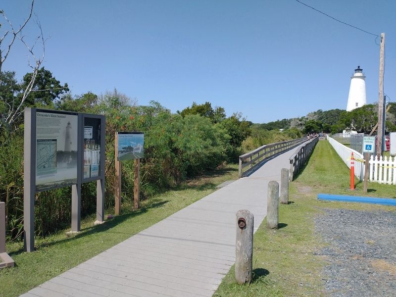
2. Ocracoke’s Silent Sentinel Marker
Also see . . . Ocracoke Light Station. (Submitted on September 12, 2024, by Tom Bosse of Jefferson City, Tennessee.)
Photographed by Tom Bosse, September 10, 2024
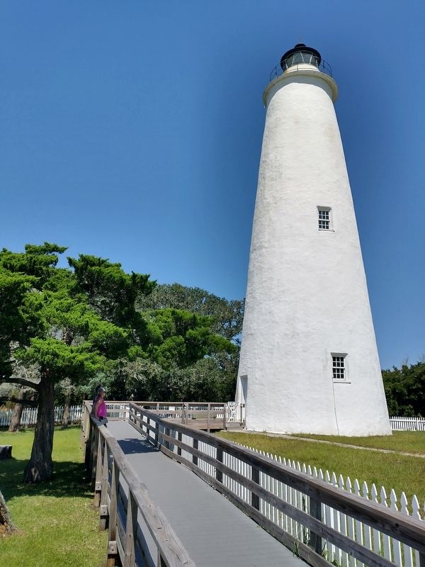
3. Ocracoke Lighthouse
Photographed by Tom Bosse, September 10, 2024
4. Ocracoke Lighthouse
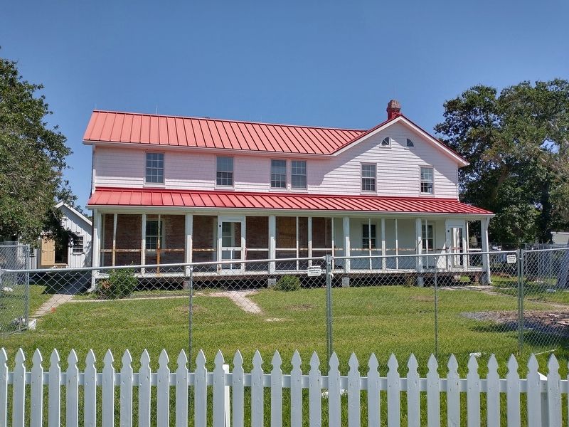
Photographed by Tom Bosse, September 10, 2024
5. Ocracoke Lighthouse Keepers' Quarters
Credits. This page was last revised on September 12, 2024. It was originally submitted on September 12, 2024, by Tom Bosse of Jefferson City, Tennessee. This page has been viewed 193 times since then and 22 times this year. Photos: 1, 2, 3, 4, 5. submitted on September 12, 2024, by Tom Bosse of Jefferson City, Tennessee. • Bernard Fisher was the editor who published this page.
