Ocracoke in Hyde County, North Carolina — The American South (South Atlantic)
Living at the Light
| — | Cape Hatteras National Seashore | — |
Photographed by Tom Bosse, September 10, 2024
1. Living at the Light Marker
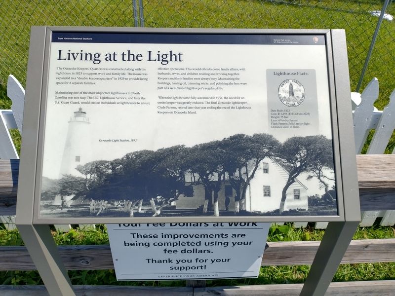
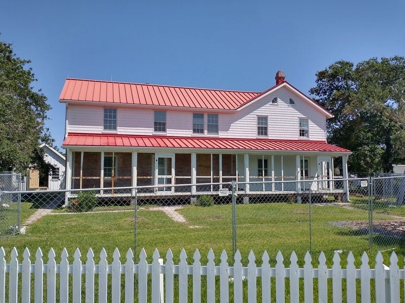
Maintaining one of the most important lighthouses in North Carolina was not easy. The U.S. Lighthouse Service, and later the U.S. Coast Guard, would station individuals at lighthouses to ensure effective operations. This would often become family affairs, with husbands, wives, and children residing and working together. Keepers and their families were always busy. Maintaining the buildings, hauling oil, trimming wicks, and polishing the lens were part of a well-trained lightkeeper’s regulated life.
When the light became fully automated in 1954, the need for an onsite keeper was greatly reduced. The final Ocracoke lightkeeper, Clyde Farrow, retired later that year ending the ear of the Lighthouse Keepers on Ocracoke Island.
Lighthouse Facts:
Date Built: 1823
Cost: $11,359 ($323,644 in 2023)
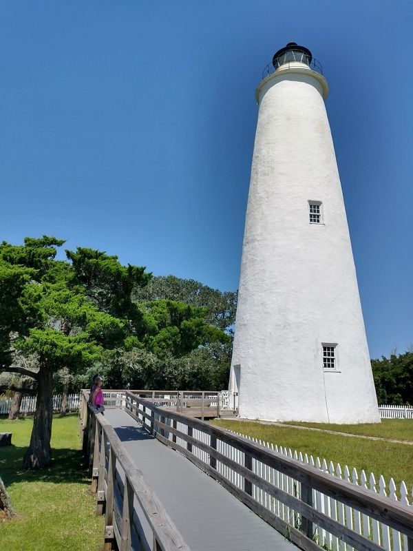
Height: 75 feet
Lens: 4th order Fresnel
Flash Pattern: Solid, steady light
Distance seen: 14 miles
(caption) Ocracoke Light Station, 1893
Erected by National
this page online
Topics and series. This historical marker is listed in these topic lists: Communications • Waterways & Vessels. In addition, it is included in the Lighthouses series list. A significant historical year for this entry is 1823.
Location. 35° 6.525′ N, 75° 59.162′ W. Marker is in Ocracoke, North Carolina, in Hyde County. It can be reached from Lighthouse Road west of Creek Road, on the right when traveling west. The marker is located 100 yds north of Lighthouse Rd on the Ocracoke Lighthouse Path. Touch for map. Marker is at or near this postal address: 360 Lighthouse Rd, Ocracoke NC 27960, United States of America. Touch for directions.

Regionally, this marker is in North Carolina’s Coastal Plain and on the Outer Banks. It is also in the American South, specifically in the Upper South, in the Tidewater, and on the Eastern Seaboard. Globally, it is in the North Atlantic Region, North America, the Western Hemisphere, the Western World, and the Anglosphere. Historically, it finds itself in what was once the territory of the Mississippian Culture, one of the original Thirteen
Photographed by Tom Bosse, September 10, 2024
2. Living at the Light Marker
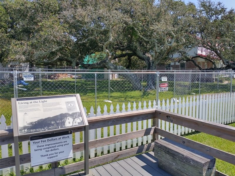
Other nearby markers. At least 8 other markers are within walking distance of this marker: A Light for Ocracoke Inlet (a few steps from this marker); Ocracoke’s Silent Sentinel (about 300 feet away, measured in a direct line); Growing More Resilient (about 300 feet away); Springer’s Point Preserve (approx. 0.2 miles away); Ocracoke Lighthouse (approx. 0.3 miles away); Lake Company (approx. 0.3 miles away); The Island Inn Park Restoration Project (approx. 0.3 miles away); USRC Mercury (approx. half a mile away). Touch for a list and map of all markers in Ocracoke.
Also see . . . Ocracoke Light Station. (Submitted on September 12, 2024, by Tom Bosse of Jefferson City, Tennessee.)
Photographed by Tom Bosse, September 10, 2024
3. Ocracoke Lighthouse Keepers' Quarters
Photographed by Tom Bosse, September 10, 2024
4. Ocracoke Lighthouse
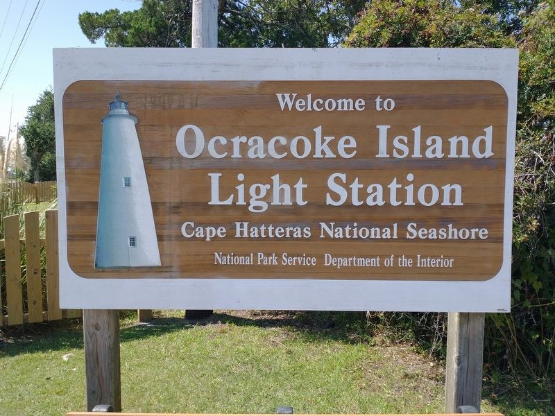
Photographed by Tom Bosse, September 10, 2024
5. Ocracoke Lighthouse
Credits. This page was last revised on September 12, 2024. It was originally submitted on September 12, 2024, by Tom Bosse of Jefferson City, Tennessee. This page has been viewed 214 times since then and 24 times this year. Photos: 1, 2, 3, 4, 5. submitted on September 12, 2024, by Tom Bosse of Jefferson City, Tennessee. • Bernard Fisher was the editor who published this page.
