Dyer in Lake County, Indiana — The American Midwest (Great Lakes)
The Ideal Section Of The Lincoln Highway
"The finest section of road in the world"
Photographed by Lou Donkle, August 26, 2022
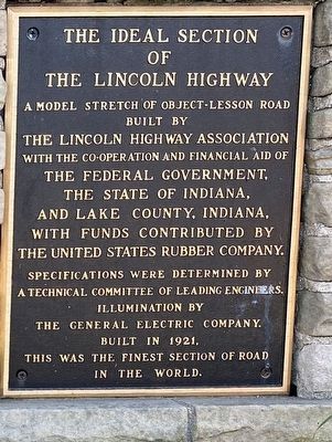
1. The Ideal Section Of The Lincoln Highway Marker
A model stretch of object-lesson road built by the Lincoln Highway Association with the co-operation and financial aid of the federal government, the State of Indiana, and Lake County, Indiana, with funds contributed by the United States Rubber Company.
Specifications were determined by a technical committee of leading engineers. Illumination by the General Electric Company. Built in 1921, this was the finest section of road in the world.
Erected by Indiana Lincoln Highway Association.
Topics and series. This historical marker is listed in this topic list: Roads & Vehicles. In addition, it is included in the Lincoln Highway series list. A significant historical year for this entry is 1921.
Location. 41° 29.484′ N, 87° 29.847′ W. Marker is in Dyer, Indiana, in Lake County. It is on Joliet Street (U.S. 30) west of Northwinds Drive, on the left when traveling west. Touch for map. Marker is at or near this postal address: 1250 Joliet St, Dyer IN 46311, United States of America. Touch for directions.

Regionally, this marker is in Northwest Indiana and in the Calumet Region. It is also in the American Midwest and
this page online
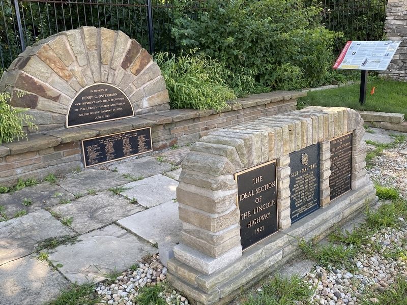
Other nearby markers. At least 8 other markers are within 2 miles of this marker, measured as the crow flies: The Lincoln Highway (here, next to this marker); Sauk (Sak) Trail (here, next to this marker); a different marker also named The Lincoln Highway (here, next to this marker); St. John Township School District #2 (approx. half a mile away); The Lincoln Highway / The "Ideal Section" (approx. 0.6 miles away); a different marker also named The Lincoln Highway / The "Ideal Section" (approx. 0.8 miles away); Lincoln Highway - Ideal Section - 1923 (approx. 0.9 miles away); Dyer Indiana (approx. 1.2 miles away). Touch for a list and map of all markers in Dyer.
More about this marker. This marker of one of many located about 100 yards west of the entrance to Meyer's Castle, a public event venue. Parking space is available on the entrance drive or farther-in
Photographed by Lou Donkle, August 26, 2022
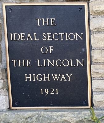
2. The Ideal Section Of The Lincoln Highway Marker
Regarding The Ideal Section Of The Lincoln Highway. The "Ideal Section" runs for a large portion of the two miles between Calumet Ave. (in Dyer) and Indianapolis Blvd. (in Schererville). This marker is one of four markers on the "Ideal Section" along with two decorated "Lincoln Highway Bridges" over Dyer Ditch and Plum Creek.
Also see . . . Lincoln Highway Association. Website of the National association with links to State chapters.
The Lincoln Highway was the first transcontinental road for automobiles in the United States, dedicated in 1913. It winds its way over 3,000 miles between New York City and San Francisco.(Submitted on August 28, 2022, by Lou Donkle of Valparaiso, Indiana.)
Photographed by Lou Donkle, August 26, 2022
3. Marker is one of several at this location
Photographed by Lou Donkle, November 12, 2022
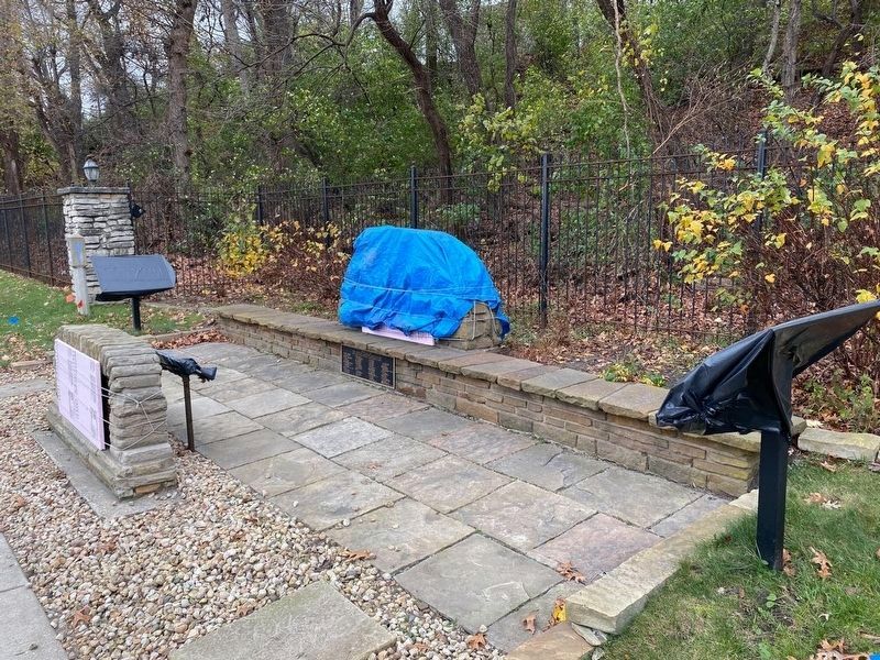
4. All markers covered for winter protection from roadside salt spray
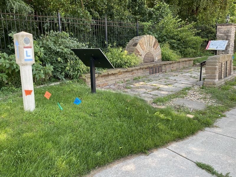
Photographed by Lou Donkle, August 26, 2022
5. Lincoln Highway Directional Marker with the other markers at the site
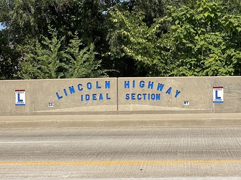
Photographed by Lou Donkle, August 26, 2022
6. Bridge on the "Ideal Section"
Credits. This page was last revised on September 13, 2024. It was originally submitted on August 27, 2022, by Lou Donkle of Valparaiso, Indiana. This page has been viewed 594 times since then and 47 times this year. Last updated on September 12, 2024, by Lou Donkle of Valparaiso, Indiana. Photos: 1, 2. submitted on August 27, 2022, by Lou Donkle of Valparaiso, Indiana. 3. submitted on August 28, 2022, by Lou Donkle of Valparaiso, Indiana. 4. submitted on June 26, 2023, by Lou Donkle of Valparaiso, Indiana. 5, 6. submitted on August 28, 2022, by Lou Donkle of Valparaiso, Indiana. • Devry Becker Jones was the editor who published this page.
