Near Sperryville in Rappahannock County, Virginia — The American South (Mid-Atlantic)
Slate Mills
Reconnaissance, Advance, Retreat
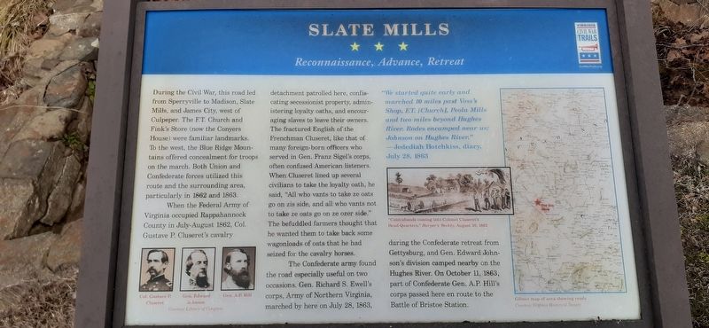
1. Slate Mills Marker
When the Federal Army of Virginia occupied Rappahannock County in July-August 1862, Col. Gustave P. Cluseret's cavalry detachment patrolled here, confiscating secessionist property, administering loyalty oaths, and encouraging slaves to leave their owners. The fractured English of the Frenchman Cluseret, like that of many foreign-born officers who served in Gen. Franz Sigel's corps, often confused American listeners. When Cluseret lined up several civilians to take the loyalty oath, he said, "All who vants to take ze oats go on zis side, and all who vants not to take ze oats go on ze ozer side." The befuddled farmers thought that he wanted them to take back some wagonloads of oats that he had seized for the cavalry horses.
The Confederate
this page online
"We started quite early and marched 10 miles past Voss's Shop, F.T. [Church], Peola Mills and two miles beyond Hughes River. Rodes encamped near us; Johnson on Hughes River." —Jedediah Hotchkiss, diary, July 28, 1863
Erected by Virginia Civil War Trails.
Topics and series. This historical marker is listed in this topic list: War, US Civil. In addition, it is included in the Virginia Civil War Trails series list. A significant historical date for this entry is July 28, 1863.
Location. 38° 32.845′ N, 78° 13.537′ W. Marker is near Sperryville, Virginia, in Rappahannock County. It is on Slate Mills Road (Virginia Route 707) 0.8 miles east of F.T. Valley Road ( Route 231), on the left when traveling south. Marker is accessible from the parking lot of F.T. Baptist
January 28, 2023
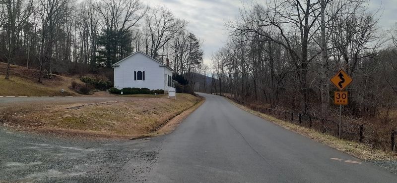
2. View of Slate Mills Road looking south
F.T. Baptist Church and parking lot on the left.

Regionally, this marker is in the Washington Metropolitan Area and in Northern Virginia. It is also in the American South, specifically in the Upper South, and in the Mid-Atlantic. Globally, it is in North America, the Western Hemisphere, the Western World, and the Anglosphere. Historically, it finds itself in what was once the territory of the Mississippian Culture, one of the original Thirteen Colonies, one of the Confederate States of America, and the Antebellum South.
Other nearby markers. At least 8 other markers are within 8 miles of this marker, measured as the crow flies: F. T. Baptist Church (approx. 0.7 miles away); Madison County / Rappahannock County (approx. 1.1 miles away); Rappahannock County / Culpeper County (approx. 4.7 miles away); Woodville (approx. 4.8 miles away); Mosby and Sneden (approx. 4.8 miles away); Milroy's Camp (approx. 4.8 miles away); John Jackson—Traditional Musician (approx. 4.8 miles away); Blue Ridge Turnpike (approx. 7.3 miles
January 28, 2023
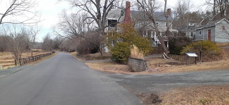
3. View of Slate Mills Road looking north
Marker and parking lot entrance on the right.
Credits. This page was last revised on July 29, 2026. It was originally submitted on August 9, 2023. This page has been viewed 855 times since then and 96 times this year. Last updated on September 12, 2024. Photos: 1, 2, 3. submitted on August 9, 2023. • Bernard Fisher was the editor who published this page.
