Falling Waters in Berkeley County, West Virginia — The American South (Appalachia)
Battles of Falling Waters
“A splendid falls”
Photographed by Bill Coughlin, August 3, 2012
1. Battles of Falling Waters Marker
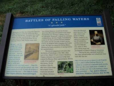
During the Civil War, the strategically important Valley Turnpike crossed the stream just above the small waterfall here. Two battles were fought nearby. The first occurred on July 2, 1861, half a mile south on the Porterfield Farm. On the morning of July 2, 1861, Federal troops under General Robert Patterson crossed the Potomac River from Maryland and marched south toward Martinsburg. Colonel Thomas J. Jackson (soon to be nicknamed “Stonewall”) ordered his command northward from the town, fought a brief delaying action on the farm, and then fell back. Because this stream was the last body of water encountered by the Federals before engaging the Confederates, the fight was named for Falling Waters, following the Union convention of naming battles for natural features.
The second engagement took place after the Battle of Gettysburg in July 1863, when part of General Robert E. Lee’s Army of Northern Virginia retreated over a pontoon bridge that crossed the Potomac River approximately 150 feet south of the mouth of this stream. On the morning of July 14, after most of the troops had crossed, Union cavalrymen attacked
this page online
During the war, a gristmill stood here. The large railroad bridge and embankment were built after the war.
"We had ... left the bridge there while we were [marching to Pennsylvania]; but the enemy's cavalry had ... had cut the bridge loose, and a great many pontoons had floated off; consequently we had to build some rough ones [to cross back over]. ... Then the good ones we saved and the sixteen new ones made twenty-six in all. It took all of them to reach across the river." —Pvt. John O. Casler, 33rd Virginia Infantry, Stonewall Brigade
“Well I’ll tell you we are down in old Virginie near a place called Falling Waters, so called on account of a splendid falls nearby. They say the water falls from a height of 45 or 50 feet over the rocks making a beautiful waterfall.” —Sgt. Andrew Malseed, 23rd Penn. Volunteer Infantry, June
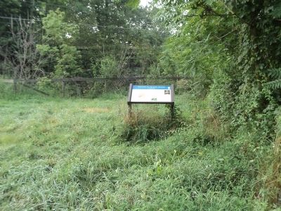
Photographed by Bill Coughlin, August 3, 2012
2. Battles of Falling Waters Marker
(captions)
"Rebel pontoons at Falling Waters," Alfred Waud sketch, July 1863 Courtesy Library of Congress
Falling Waters
Gen. James J. Pettigrew, posthumous portrait, Courtesy University of North Carolina
Erected by West Virginia Civil War Trails.
Topics and series. This historical marker is listed in this topic list: War, US Civil. In addition, it is included in the West Virginia Civil War Trails series list. A significant historical date for this entry is July 14, 1863.
Location. 39° 33.576′ N, 77° 53.292′ W. Marker is in Falling Waters, West Virginia, in Berkeley County. It is on Encampment Road east of Williamsport Pike (U.S. 11), on the left when traveling south. Touch for map. Marker is in this post office area: Falling Waters WV 25419, United States of America. Touch for directions.

Regionally, this marker is in the Eastern Panhandle. It is also in the American South, specifically in the Upper South, in Appalachia, and specifically in Northern Appalachia. Globally, it is in North America, the Western Hemisphere, the Western World, and the Anglosphere. Historically, it finds itself in what was once the
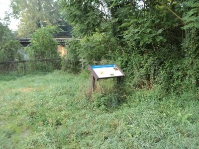
Photographed by Bill Coughlin, August 3, 2012
3. West Virginia Civil War Trails Marker
Other nearby markers. At least 8 other markers are within 2 miles of this marker, measured as the crow flies: Falling Waters (approx. ¼ mile away in Maryland); a different marker also named Falling Waters (approx. ¼ mile away in Maryland); Battle of Hoke's Run (approx. 0.3 miles away); a different marker also named Battle of Falling Waters (approx. 1.4 miles away); a different marker also named Battle of Falling Waters (approx. 1½ miles away); Stumpy’s Hollow (approx. 1.8 miles away); a different marker also named The Battle of Falling Waters (approx. 1.8 miles away); a different marker also named Stumpy's Hollow (approx. 1.8 miles away). Touch for a list and map of all markers in Falling Waters.
Other markers no longer nearby. Battle of Falling Waters (was approx. 1.3 miles away but has been permanently removed); a different marker also named Battle of Falling Waters (was approx. 1.8 miles away but has been replaced with another marker now near it).
Related markers. Click here for a list of markers that are related to this marker. View series of
Photographed by Bill Coughlin, August 3, 2012
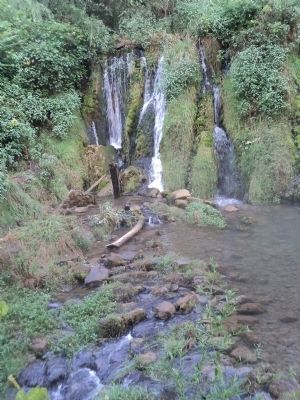
4. Falling Waters
The waterfall that is the subject of the marker, seen here, is located just south of the marker.
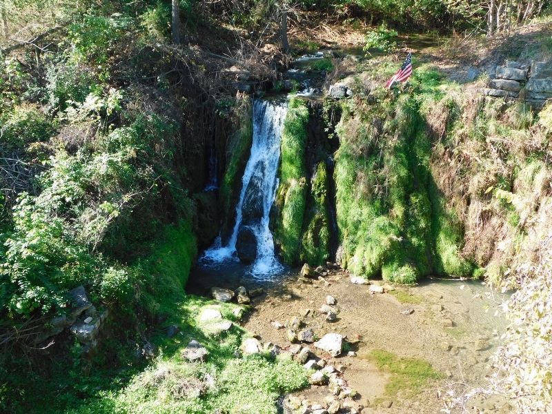
Photographed by Bradley Owen, October 19, 2017
5. Falling Waters
"A Splendid Falls"
Photographed by Bradley Owen, October 19, 2017
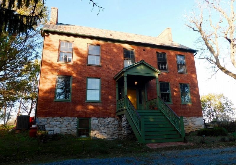
6. The Donnelly House
Confederate General James J. Pettigrew was mortally wounded on the property of this private residence located on Falling Waters Road in Williamsport, Maryland.
Credits. This page was last revised on September 15, 2024. It was originally submitted on August 5, 2012, by Bill Coughlin of Woodland Park, New Jersey. This page has been viewed 4,007 times since then and 232 times this year. Last updated on September 15, 2024, by Carl Gordon Moore Jr. of North East, Maryland. Photos: 1, 2, 3, 4. submitted on August 5, 2012, by Bill Coughlin of Woodland Park, New Jersey. 5, 6. submitted on April 8, 2021, by Bradley Owen of Morgantown, West Virginia. • Bernard Fisher was the editor who published this page.
