Near Battlefield in Greene County, Missouri — The American Midwest (Upper Plains)
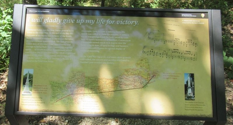
I will gladly give up my life for victory.
Nathaniel Lyon admitted this to John Schofield, Chief of Staff.
| — | Wilson's Creek National Battlefield | — |
Photographed by Jason Armstrong, July 30, 2023
1. I will gladly give up my life for victory. Marker
Overnight, Lyon became a national hero. His family was called to claim his remains. A military escort was arranged and the body taken by train back to Lyon's hometown of Eastford, Connecticut. Thousands turned out at each stop to view the body, lying in state, draped in flags and banners, and strewn with flowers in a grand display of national mourning.
As the Civil War raged on, and many more generals were killed, the success and sacrifice attributed to General Lyon receded into history.
(captions)
The military escort took Lyon's body by wagon to Rolla and then on to St. Louis.
This marker commemorating General Lyon was unveiled in 1883 and moved to Springfield National Cemetery in 1884.
In St. Louis the casket was placed on a train. It stopped in four cities allowing the public to pay their respects.
A military Style march was composed for the hero's funeral.
The last of Lyon's journey to his final resting place was again by wagon.
This marker is on General Lyon's grave in Phoenixville, Connecticut where he is buried beside his parents.
Erected by National
this page online
Topics. This historical marker is listed in this topic list: War, US Civil. A significant historical date for this entry is August 10, 1861.
Location. 37° 6.346′ N, 93° 24.736′ W. Marker is near Battlefield, Missouri, in Greene County. It can be reached from Tour Road 0.9 miles south of West Farm Road 182, on the right when traveling north. Located about 1300 feet east of the Bloody Hill Parking Area on the walking trail. Touch for map. Marker is in this post office area: Brookline MO 65619, United States of America. Touch for directions.

Regionally, this marker is in Greater Springfield. It is also in the American Ozarks, in the Lewis & Clark Corridor, and in the Corn Belt. Globally, it is in North America, the Western Hemisphere, the Western World, and the Anglosphere. Historically, it finds itself in what was once the territory of the Mississippian Culture, the Louisiana Purchase, and the Antebellum South.
Other nearby markers. At least 8 other markers are within walking distance of this marker: Laid to Rest In Mass Graves (within shouting distance of this marker); No Man's Land
Photographed by Jason Armstrong, July 30, 2023
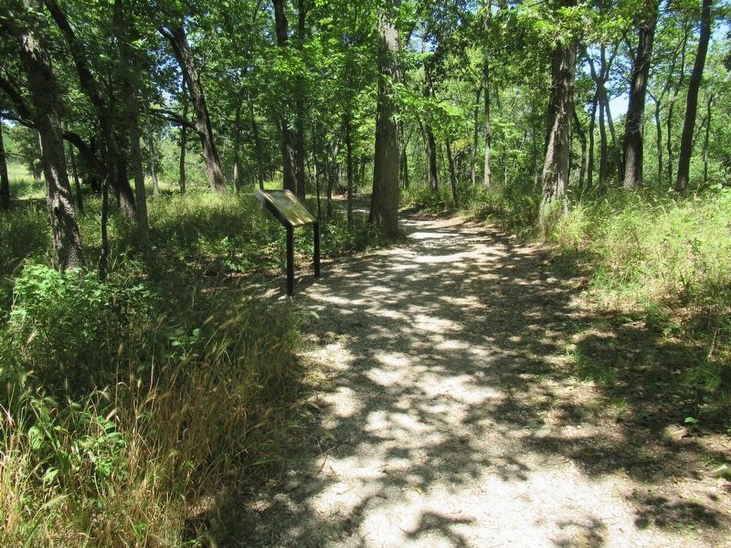
2. Bloody Hill walking trail.
Also see . . . Wilson's Creek National Battlefield. National Park Service (Submitted on September 15, 2024.)
Credits. This page was last revised on September 19, 2024. It was originally submitted on September 15, 2024, by Jason Armstrong of Talihina, Oklahoma. This page has been viewed 222 times since then and 40 times this year. Photos: 1, 2. submitted on September 15, 2024, by Jason Armstrong of Talihina, Oklahoma. • Bernard Fisher was the editor who published this page.
