Falling Waters in Berkeley County, West Virginia — The American South (Appalachia)
Battle of Falling Waters
Stuart’s Surprise
Photographed by Bill Coughlin, July 31, 2011
1. Battle of Falling Waters Marker
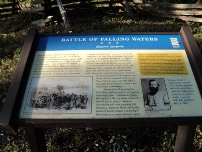
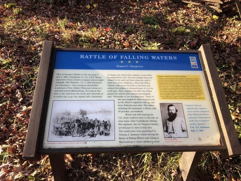
Here at Stumpy’s Hollow on the morning of July 2, 1861, Confederate Lieutenant Colonel J.E.B. Stuart captured a Union infantry company almost single-handedly. The Federals—Company I, 15th Pennsylvania Volunteers—were acting as skirmishers in advance of General Robert Patterson’s army as it marched toward Martinsburg. Arriving at this fork in the road from the north and uncertain as to which way to go, the captain left a lieutenant in charge and ordered the company to rest while he explored the road. The men stacked arms and relaxed by the split-rail fence along the road to await his return. Suddenly, a blue-clad officer (Stuart) rode across the field to the fence and ordered the soldiers to dismantle part of it so he could pass. They complied, but after the officer gained the road he drew pistols and allegedly said, “Surrender or you are dead men.” Some of the men lunged for their weapons just as the officer’s regiment rode up, and three Federals were shot. The others, including the lieutenant, a doctor, and 43 privates, surrendered.
Stuart was still wearing his U.S. Army uniform early in the war, as were many other
this page online
"Colonel Stuart reports his capture of an entire company (the Fifteenth Pennsylvania Volunteers) with the exception of the captain.” —Colonel T.J. Jackson, July 3, 1861
Federal Version of Stuart’s Surprise
"Company I of the Fifteenth was suddenly confronted by a battalion of Colonel Turner Ashby’s cavalry (in fact Stuart), dressed in blue blouses, and having the general appearance of Union troops.... Mistaking then for our own cavalry, [they] obeyed the order of Colonel [Stuart] to “let down the fence.” … The rebel leader, followed by some forty of his men, … surrounded the unsuspecting party, shot down the First Sergeant, and demanded the surrender of the entire body, consisting of the Second Lieutenant, John B. Hutchinson, and thirty-four men. [Stuart] escaped with his prisoners, and the result of his strategy was heralded through the South as a brilliant affair.” [Hutchinson was exchanged on Sept. 21, 1862. Confederate cavalry commander Turner Ashby, then a captain, was not at Falling Waters.] —Samuel P. Bates, History of the Pennsylvania Volunteers (1868-1871)
(captions)
1st Virginia Cavalry, Harper’s Weekly, Sept. 27, 1862
Gen. J.E.B. Stuart Courtesy Library of Congress
Erected by West
Topics and series. This historical marker is listed in this topic list: War, US Civil. In addition, it is included in the West Virginia Civil War Trails series list. A significant historical date for this entry is July 2, 1861.
Location. This marker has been replaced by another marker nearby. It was located near 39° 32.946′ N, 77° 55.108′ W. Marker was in Falling Waters, West Virginia, in Berkeley County. It was at the intersection of Hammonds Mill Road (West Virginia Route 901) and St. Andrews Drive (County Route 3/1), on the right when traveling west on Hammonds Mill Road. Touch for map. Marker was at or near this postal address: 1156 Saint Andrews Drive, Falling Waters WV 25419, United States of America. Touch for directions.

Regionally, this marker was in the Eastern Panhandle. It was also in the American South, specifically in the Upper South, in Appalachia, and specifically in Northern Appalachia. Globally, it was in North America, the Western Hemisphere, the Western World, and the Anglosphere. Historically, it found itself in what was once the territory of the Mississippian Culture and also the
Photographed by Bradley Owen, October 14, 2024
3. Battle of Falling Waters Marker
Marker is missing and the frame is damaged.
Other nearby markers. At least 8 other markers are within walking distance of this location: A different marker also named The Battle of Falling Waters (here, next to this marker); Stumpy's Hollow (a few steps from this marker); a different marker also named Stumpy’s Hollow (within shouting distance of this marker); The Fighting Grows (about 500 feet away, measured in a direct line); Advance to Battle (about 500 feet away); Action at Stumpy's Hollow (about 600 feet away); Protecting History and Nature (about 600 feet away); Federals Cross the Potomac (about 600 feet away). Touch for a list and map of all markers in Falling Waters.
Related marker. Click here for another marker that is related to this marker. This marker has been replaced with the linked marker. There are differences in the inscriptions.
Photographed by Bill Coughlin, July 31, 2011
4. Battle of Falling Waters Marker
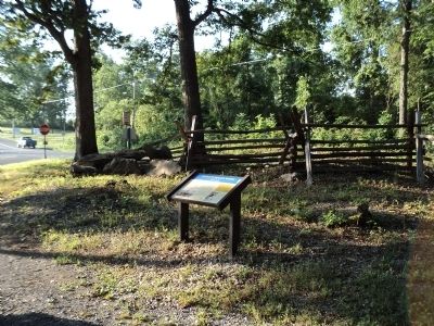
Photographed by Bill Coughlin, July 31, 2011
5. Battle of Falling Waters Marker
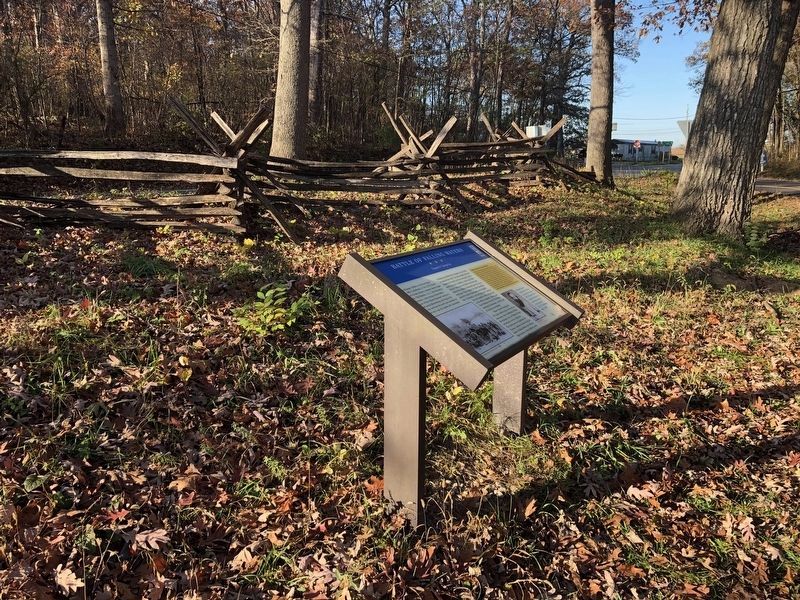
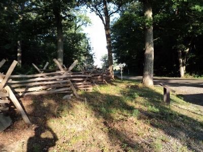
Photographed by Bill Coughlin, July 31, 2011
7. Split Rail Fence at Stumpy’s Hollow
This fence was constructed by the Falling Waters Battlefield Association to increase awareness of the Battle of Falling Waters. The marker can be seen on the right.
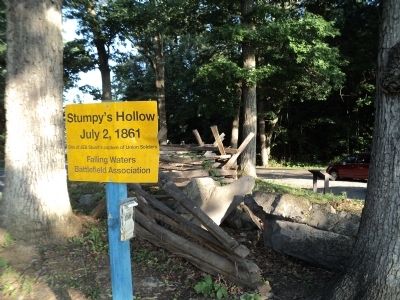
Photographed by Bill Coughlin, July 31, 2011
8. Second Battle of Falling Waters Marker
July 2, 1861
Site of J.E.B. Stuart’s capture of Union Soldiers.
Falling Waters
Battlefield Association
Credits. This page was last revised on January 11, 2026. It was originally submitted on August 4, 2011, by Bill Coughlin of Woodland Park, New Jersey. This page has been viewed 3,593 times since then and 112 times this year. Last updated on September 15, 2024, by Carl Gordon Moore Jr. of North East, Maryland. Photos: 1. submitted on August 4, 2011, by Bill Coughlin of Woodland Park, New Jersey. 2. submitted on November 6, 2020, by Devry Becker Jones of Washington, District of Columbia. 3. submitted on October 14, 2024, by Bradley Owen of Morgantown, West Virginia. 4, 5. submitted on August 4, 2011, by Bill Coughlin of Woodland Park, New Jersey. 6. submitted on November 6, 2020, by Devry Becker Jones of Washington, District of Columbia. 7, 8. submitted on August 4, 2011, by Bill Coughlin of Woodland Park, New Jersey. • Bernard Fisher was the editor who published this page.
