
Pilot Grove in Grayson County, Texas — The American South (West South Central)
Pilot Grove

Photographed by James Hulse, September 11, 2024
1. Pilot Grove Marker
Erected 1966 by State Historical Survey Committee. (Marker Number 7417.)
Topics. This historical marker is listed in these topic lists: Law Enforcement • Settlements & Settlers. A significant historical year for this entry is 1858.
Location. 33° 26.283′ N, 96° 25.515′ W. Marker is in Pilot Grove, Texas, in Grayson County. It is at the intersection of Farm to Market Road 121 and Pilot Grove Road, on the left when traveling west on Road 121. The marker is located along the highway. Touch for map. Marker is at or near this postal address: 1469 Pilot Grove Rd, Whitewright TX 75491, United States of America. Touch for directions.

Regionally, this marker is in the Prairies & Lakes Region. It is also in the American South. Globally, it is in North America, a Gulf of Mexico state, the Western
this page online
Other nearby markers. At least 8 other markers are within 5 miles of this marker, measured as the crow flies: Pilot Grove Baptist Church (about 800 feet away, measured in a direct line); Binion Homestead (approx. 1.3 miles away); Bethel Baptist Church (approx. 2.1 miles away); Old Town of Cannon (approx. 3.4 miles away); Cannon Cemetery (approx. 4.6 miles away); Vittitoe Cemetery (approx. 5 miles away); First National Bank of Trenton (approx. 5 miles away); Trenton (approx. 5 miles away).
Also see . . . Feuds. Texas State Historical Association (TSHA)
The Lee-Peacock feud, which flourished from 1867 to 1871 in the contiguous corners of Fannin, Grayson, Collin, and Hunt counties, followed the same pattern. Bob Lee, a former Confederate officer, fell out with the Union authorities and aroused the enmity of Lewis Peacock, one of their supporters. There was killing on both sides, and Lee was waylaid and killed in Fannin(Submitted on September 17, 2024, by James Hulse of Medina, Texas.)County near the present town of Leonard in 1869. A systematic hunt for his friends and supporters was then begun, and several were killed. Peacock himself was shot on June 13, 1871, bringing the feud to an end.Photographed by James Hulse, September 11, 20242. The view of the Pilot Grove Marker along the highway
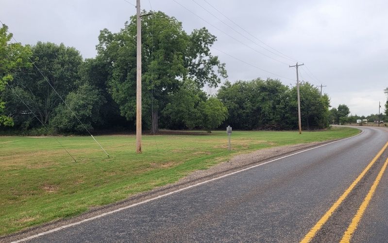

Photographed by Gary Estep, November 2, 2025
3. Pilot Grove Marker
Credits. This page was last revised on January 14, 2026. It was originally submitted on September 16, 2024, by James Hulse of Medina, Texas. This page has been viewed 430 times since then and 126 times this year. Photos: 1, 2. submitted on September 17, 2024, by James Hulse of Medina, Texas. 3. submitted on January 6, 2026, by Gary Estep of Anna, Texas.
