Grand Prairie in Tarrant County, Texas — The American South (West South Central)
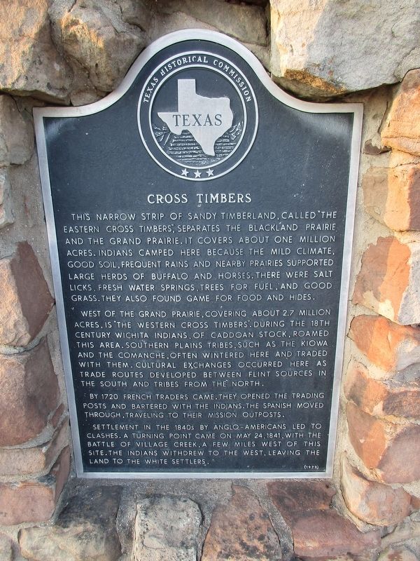
Cross Timbers
Photographed by Jeff Leichsenring, September 15, 2024
1. Cross Timbers Marker
West of the Grand Prairie, covering about 2.7 million acres, is "The Western Cross Timbers". During the 18th century Wichita Indians, of Caddoan stock roamed this area. Southern plains tribes, such as the Kiowa and the Comanche, often wintered here and traded with them. Cultural exchanges occurred here as trade routes developed between flint sources in the south and tribes from the north.
By 1720 French traders came. They opened the trading posts and bartered with the Indians. The Spanish moved through, traveling to their Mission outposts.
Settlement in the 1840s by Anglo-Americans led to clashes. A turning point came on May 24, 1841, with the battle of Village Creek, a few miles west of this site.
this page online
Erected 1979 by Texas Historical Commission. (Marker Number 1120.)
Topics. This historical marker is listed in these topic lists: Horticulture & Forestry • Indigenous Peoples and Communities • Settlements & Settlers.
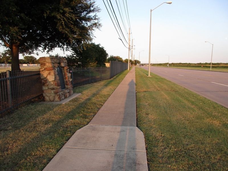
Location. 32° 41.502′ N, 97° 3.096′ W. Marker is in Grand Prairie, Texas, in Tarrant County. It is on Mayfield Road west of S Great SW Parkway, on the right when traveling west. Marker is in front of Trader's Village parkinglot. Touch for map. Marker is at or near this postal address: 2602 Mayfield Rd, Grand Prairie TX 75052, United States of America. Touch for directions.

Regionally, this marker is in the Prairies & Lakes Region and in the Dallas-Fort Worth Metropolitan Area. It is also in the American South. Globally, it is in North America, a Gulf of Mexico state, the Western Hemisphere, the Western World, and the Anglosphere. Historically, it finds itself in what was once New Spain, the Republic of Texas, and one of the Confederate States of America.
Other nearby markers. At
Photographed by Jeff Leichsenring, September 15, 2024
2. Cross Timbers Marker
Credits. This page was last revised on September 16, 2024. It was originally submitted on September 16, 2024, by Jeff Leichsenring of Garland, Texas. This page has been viewed 375 times since then and 58 times this year. Photos: 1, 2. submitted on September 16, 2024, by Jeff Leichsenring of Garland, Texas. • James Hulse was the editor who published this page.
