Riverside in Riverside County, California — The American West (Pacific Coastal)
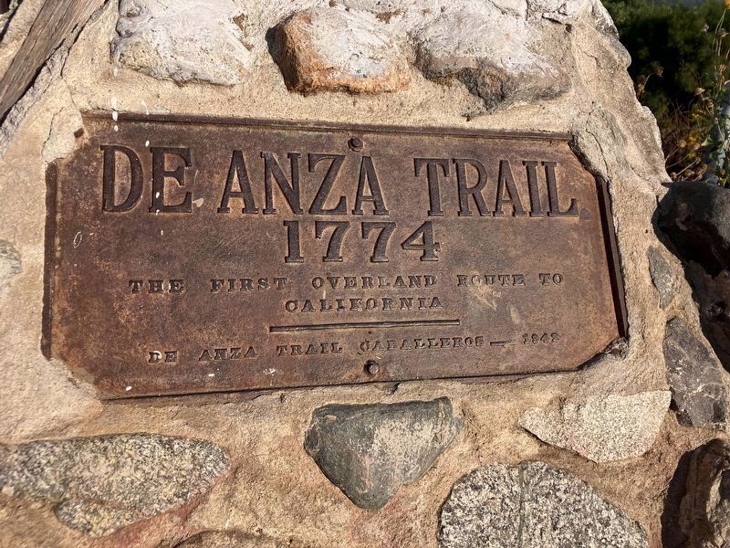
De Anza Trail
1774
Photographed by Volt Craft, October 3, 2024
1. De Anza Trail Marker
The first overland route to California.
Erected 1942 by De Anza Trail Caballeros.
Topics and series. This historical marker is listed in these topic lists: Exploration • Roads & Vehicles. In addition, it is included in the Juan Bautista de Anza National Historic Trail series list. A significant historical year for this entry is 1774.
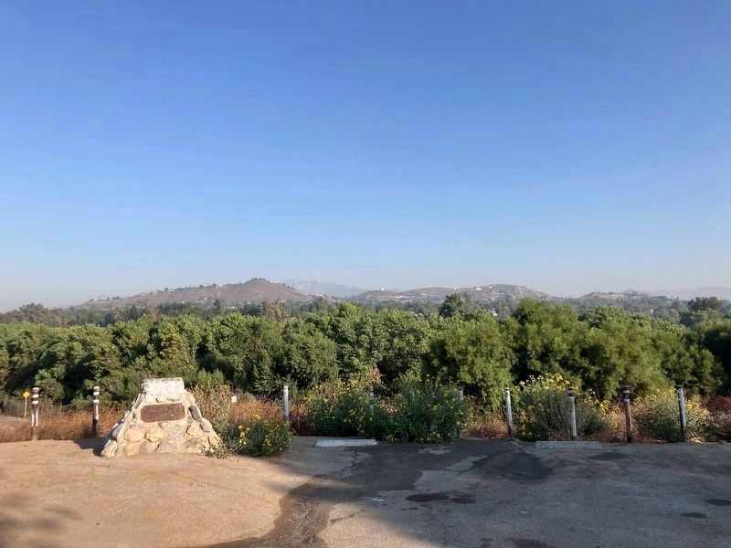
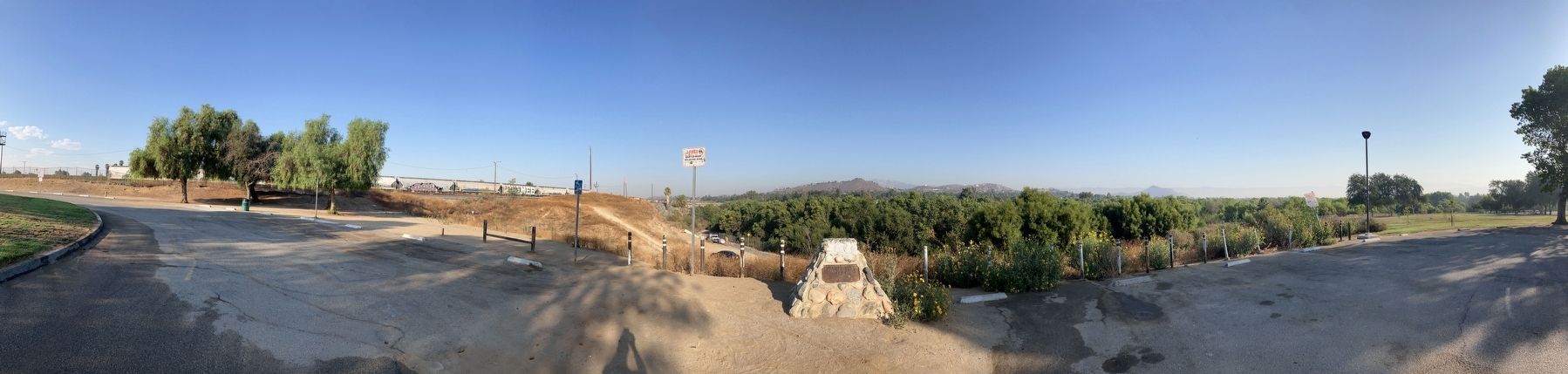
Location. 33° 58.007′ N, 117° 25.991′ W. Marker is in Riverside, California, in Riverside County. It is on Industrial Avenue. The marker is in the parking lot of Martha McLean-Anza Narrows Park. Touch for map. Marker is in this post office area: Riverside CA 92504, United States of America. Touch for directions.

Regionally, this marker is in Greater Los Angeles, in the Inland Empire, and in the Peninsular Ranges. It is also in the American Southwest. Globally, it is in North America, on the Ring of Fire, on the Pacific Rim, in the Western Hemisphere, in the Western World, and in the Anglosphere. Historically, it finds itself in what was once New Spain and also Mexico’s Alta California.
Other nearby markers. At least 8 other markers are within 3 miles of this marker,
this page online
Also see . . .
1. Riverside Martha Mclean Anza Narrows Park Disc Golf full Walk-through and tour (YouTube). (Submitted on September 27, 2024, by Volt Craft of Riverside, California.)
2. De Anza blazed trail through Riverside 250 years ago in 1774 (Daily Bulletin, March 24, 2024). (Submitted on September 27, 2024, by Volt Craft of Riverside, California.)
3. Salt Lake route train bridge to north west of marker. (Submitted on October 3, 2024, by Volt Craft of Riverside, California.)
Photographed by Volt Craft, October 3, 2024
2. De Anza Trail Marker
Photographed by Volt Craft, October 3, 2024
3. De Anza Trail Marker
Credits. This page was last revised on June 15, 2026. It was originally submitted on September 16, 2024, by Volt Craft of Riverside, California. This page has been viewed 459 times since then and 54 times this year. Photos: 1, 2, 3. submitted on October 3, 2024, by Volt Craft of Riverside, California. • Andrew Ruppenstein was the editor who published this page.
