Jamesville in Martin County, North Carolina — The American South (South Atlantic)
Jamesville Primitive Baptist Church
Built 1870
| — | Historic Churches of Martin County | — |
Photographed by Tom Bosse, September 14, 2024
1. Historic Churches of Martin County Marker
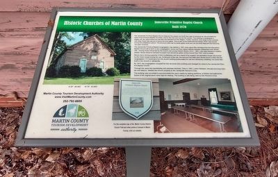
The Jamesville Primitive Baptist congregation was started in 1827 when about fifty members from the Skewarkey Baptist Church left to form a new congregation, known as Picot, about halfway between Williamston and Jamesville. Among those influenced by the church was young Clayton Moore (1814 – 1881), who later became a wealthy planter. Moore became licensed to preach and served as pastor of this church from 1847 until his death.
Moore was a strong supporter of the Confederacy and as a result of his support, his plantation house was burned by the
this page online
By 1870, the congregation occupied its new structure (this building) and changed its name to the Jamesville Primitive Baptist Church.
Through the years the membership and activities declined. Then in 1953, Luther Hardinson, the last surviving member and deacon, deeded the church property to the Jamesville women’s Club.
The building was converted to accommodate the club’s needs by adding partitions, a kitchen and bathrooms. Some of the original pews were kept for seating. The building is still being used by the Women’s Club.
Erected by Martin County Tourism Development Authority.
Topics and series. This historical marker is listed in these topic lists: Architecture • Religion & Religious Structures • War, US Civil. In addition, it is included in the Martin County Historic Church Trail series list. A significant historical year for this entry is 1870.
Location. 35° 48.587′ N, 76° 53.817′ W.
Photographed by Tom Bosse, September 14, 2024
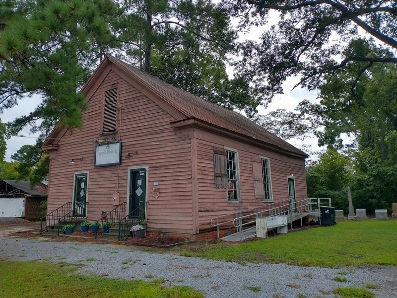
2. Jamesville Primitive Baptist Church

Regionally, this marker is in North Carolina’s Coastal Plain. It is also in the American South and specifically in the Upper South. Globally, it is in North America, the Western Hemisphere, the Western World, and the Anglosphere. Historically, it finds itself in what was once the territory of the Mississippian Culture, one of the original Thirteen Colonies, one of the Confederate States of America, and the Antebellum South.
Other nearby markers. At least 8 other markers are within 9 miles of this location, measured as the crow flies: A different marker also named Jamesville Primitive Baptist Church (a few steps from this marker); 85th Redoubt (approx. 8.1 miles away); Hoke's Final Line (approx. 8.6 miles
Photographed by Tom Bosse, September 14, 2024
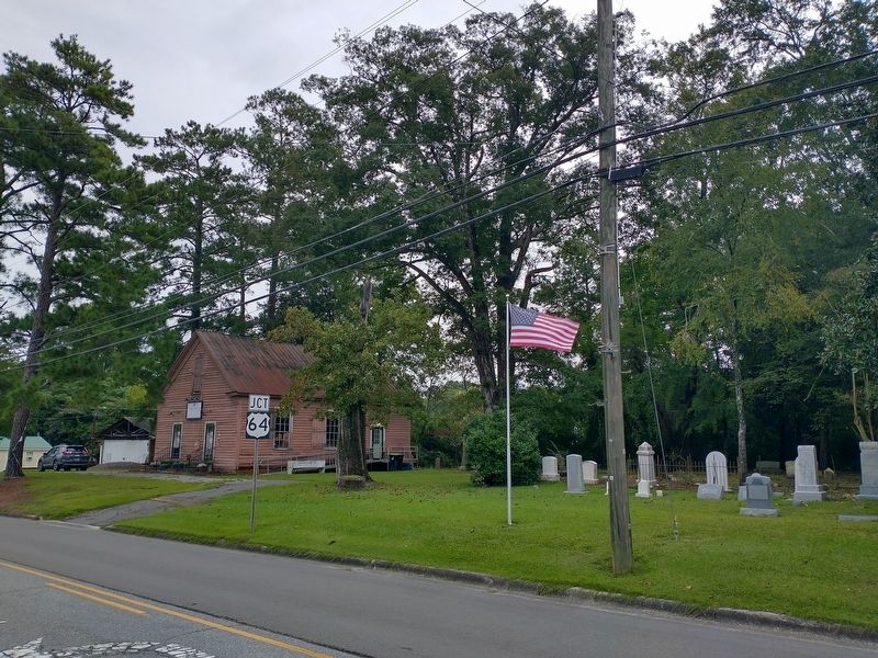
3. Jamesville Primitive Baptist Church
Related markers. Click here for a list of markers that are related to this marker.
Also see . . . Martin County Historic Church Trail. (Submitted on September 16, 2024, by Tom Bosse of Jefferson City, Tennessee.)
Photographed by Tom Bosse, September 14, 2024
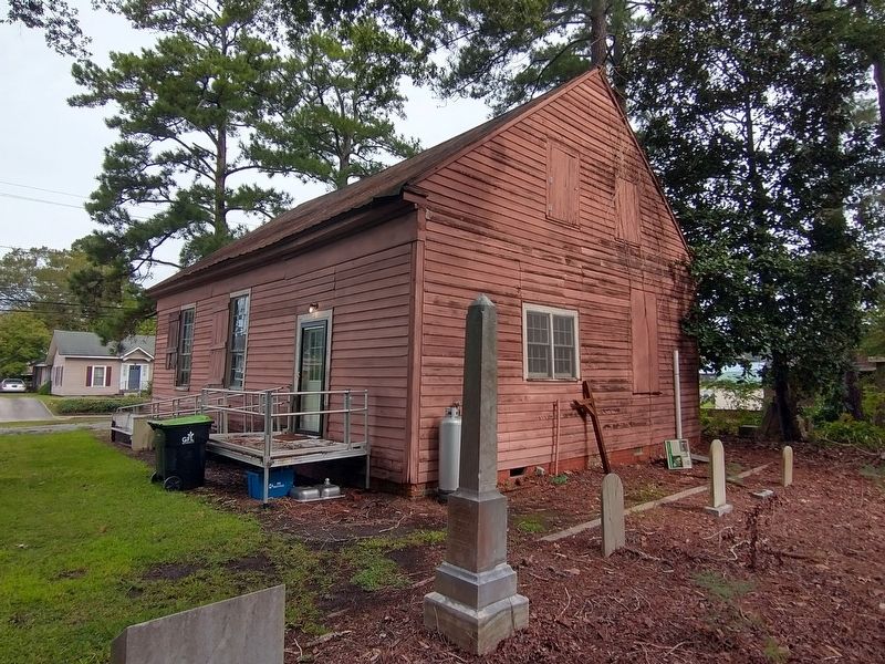
4. Historic Churches of Martin County Marker
Credits. This page was last revised on September 18, 2024. It was originally submitted on September 16, 2024, by Tom Bosse of Jefferson City, Tennessee. This page has been viewed 148 times since then and 31 times this year. Photos: 1, 2, 3, 4. submitted on September 16, 2024, by Tom Bosse of Jefferson City, Tennessee. • Bernard Fisher was the editor who published this page.
