
Near Henrico in Goochland County, Virginia — The American South (Mid-Atlantic)
Tuckahoe
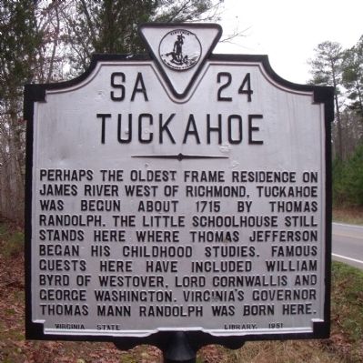
Photographed by Bernard Fisher, December 18, 2009
1. Tuckahoe Marker
Erected 1951 by Virginia State Library. (Marker Number SA-24.)
Topics and series. This historical marker is listed in these topic lists: Colonial Era • Notable Buildings • Notable Places. In addition, it is included in the Former U.S. Presidents: #03 Thomas Jefferson, and the Virginia Department of Historic Resources (DHR) series lists. A significant historical year for this entry is 1715.
Location. 37° 34.954′ N, 77° 39.207′ W. Marker is near Henrico, Virginia, in Goochland County. It is on River Road (Virginia Route 650) 0.2 miles west of Blair Road (Route 649), on the left when traveling west. Touch for map. Marker is at or near this postal address: 12601 River Road, Henrico VA 23238, United States of America. Touch for directions.

Regionally,
this page online
Other nearby markers. At least 8 other markers are within 4 miles of this marker, measured as the crow flies: Dahlgren's Cavalry Raid (approx. one mile away); Terre Haute Farm African American Cemetery (approx. 2.8 miles away); Bellona Foundry (approx. 2.9 miles away); Boston (approx. 2.9 miles away); Huguenot Springs Confederate Cemetery (approx. 2.9 miles away); First Baptist Church (approx. 3 miles away); a different marker also named Huguenot Springs (approx. 3.2 miles away); Our Confederate Dead (approx. 3.2 miles away).
Other markers no longer nearby. William Webber (was approx. 3 miles away but has been confirmed missing); Huguenot Springs (was
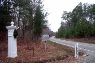
Photographed by Bernard Fisher, December 18, 2009
2. River Road (facing west)
Also see . . .
1. Historic Tuckahoe. (Submitted on December 19, 2009.)
2. Tuckahoe. National Register of Historic Places (Submitted on December 19, 2009.)
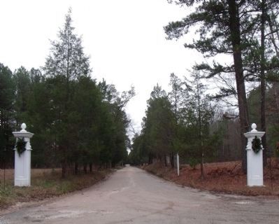
Photographed by Bernard Fisher, December 18, 2009
3. Entrance to Tuckahoe Plantation
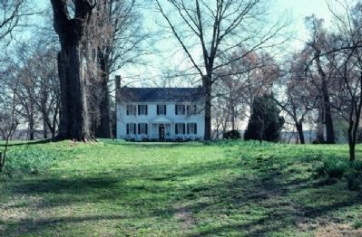
National Register of Historic Places
4. Tuckahoe Plantation House, circa 1715
Boyhood home of Thomas Jefferson
Credits. This page was last revised on September 16, 2024. It was originally submitted on December 19, 2009, by Bernard Fisher of Richmond, Virginia. This page has been viewed 2,111 times since then and 43 times this year. Last updated on September 16, 2024, by Carl Gordon Moore Jr. of North East, Maryland. Photos: 1, 2, 3, 4. submitted on December 19, 2009, by Bernard Fisher of Richmond, Virginia.
