
Maidens in Goochland County, Virginia — The American South (Mid-Atlantic)
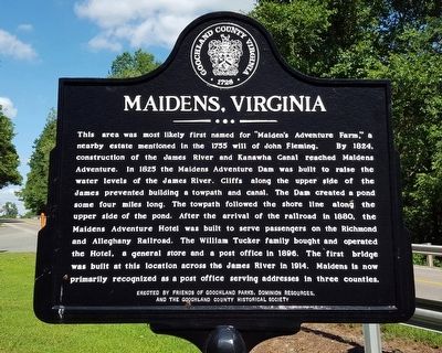
Maidens, Virginia
Photographed by Bernard Fisher, August 8, 2015
1. Maidens, Virginia Marker
Erected by Friends of Goochland Parks, Dominon Resources, and the Goochland County Historical Society.
Topics and series. This historical marker is listed in these topic lists: Industry & Commerce • Railroads & Streetcars
this page online
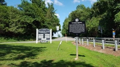
Location. 37° 40.069′ N, 77° 53.049′ W. Marker is in Maidens, Virginia, in Goochland County. It is at the intersection of Maidens Road (U.S. 522) and Maidens Loop, on the right when traveling south on Maidens Road. Touch for map. Marker is in this post office area: Maidens VA 23102, United States of America. Touch for directions.

Regionally, this marker is in Virginia’s Piedmont, in Central Virginia, and in the Richmond Metropolitan Area. It is also in the American South and specifically in the Upper South. Globally, it is in North America, the Western Hemisphere, the Western World, and the Anglosphere. Historically, it finds itself in what was once the territory of the Mississippian Culture, one of the original Thirteen Colonies, one of the Confederate States of America, and the Antebellum South.
Other nearby markers. At least 8 other markers are within one mile of this marker, measured as the crow flies: Maidens Adventure Hotel (approx.
Photographed by Bernard Fisher, August 8, 2015
2. Maidens, Virginia Marker
Additional commentary.
1. Maiden's Adventure
Maiden's Adventure is mentioned in a Mar 3, 1717, Henrico County, VA. indenture, where brothers Tarleton & John Woodson sold 300 acres from it to (Quaker) Robert Hughes, Sen; all of Henrico Co., VA. The copy of the deed is faded and difficult to read, but can be read with some effort. The indenture is located on page 235 of Wills and Deeds, 1714-1718, Henrico County, Virginia: Henrico. Deeds 1714–1718, Wills 1714-1718.
Robert Hughes, Sr. owned land at the Chickahominy Swamp, located adjacent to his father-in-law, Stephen Tarleton's land on Black Creek at the borders of what at the time were Henrico & New Kent Counties, VA. Robert Hughes married Stephen Tarleton's daughter, Sarah Tarleton. Both
Photographed by Bernard Fisher, August 8, 2015
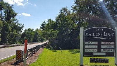
3. Maidens, Virginia Marker
— Submitted May 19, 2026.
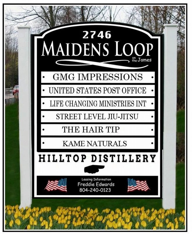
Photographed by Freddie Edwards, July 16, 2022
4. Maidens, Virginia Marker
Updated pic of the sign at Maidens Loop
Credits. This page was last revised on May 19, 2026. It was originally submitted on August 8, 2015, by Bernard Fisher of Richmond, Virginia. This page has been viewed 2,457 times since then and 208 times this year. Last updated on September 16, 2024, by Carl Gordon Moore Jr. of North East, Maryland. Photos: 1, 2, 3. submitted on August 8, 2015, by Bernard Fisher of Richmond, Virginia. 4. submitted on July 17, 2022, by Freddie Edwards of Henrico, Virginia.
