Buxton in Dare County, North Carolina — The American South (South Atlantic)
Commonwealth War Graves Commission
| — | Cape Hatteras National Seashore | — |

Photographed by Tom Bosse, September 14, 2024
1. Commonwealth War Graves Commission
Topics. This historical marker is listed in this topic list: Cemeteries & Burial Sites. A significant historical year for this entry is 1917.
Location. 35° 14.888′ N, 75° 31.993′ W. Marker is in Buxton, North Carolina, in Dare County. It can be reached from Lighthouse Road 0.3 miles south of Loggerhead Lane, on the right when traveling south. Located in the WWII British Sailor Cemetery. Touch for map. Marker is in this
this page online

Regionally, this marker is in the Coastal Plain and on the Outer Banks. It is also in the American South, specifically in the Upper South, in the Tidewater, and on the Eastern Seaboard. Globally, it is in the North Atlantic Region, North America, the Western Hemisphere, the Western World, and the Anglosphere. Historically, it finds itself in what was once the territory of the Mississippian Culture, one of the original Thirteen Colonies, one of the Confederate States of America, and the Antebellum South.
Other nearby markers. At least 8 other markers are within 2 miles of this marker, measured as the crow flies: Honoring Their Sacrifice (a few steps from this marker); Life at the Light (approx. 0.3 miles away); Keepers of the Light (approx. 0.4 miles away); Inching Inland (approx. half a mile away); A Shifting Shoreline, An Imperiled Lighthouse (approx. 0.6 miles away); Cape Hatteras Lighthouse (approx. 1.3 miles away); Welcome to Buxton… (approx. 1.3 miles away); Diamond Shoals (approx. 1.4 miles away). Touch for a list and map of all
Photographed by Tom Bosse, September 14, 2024
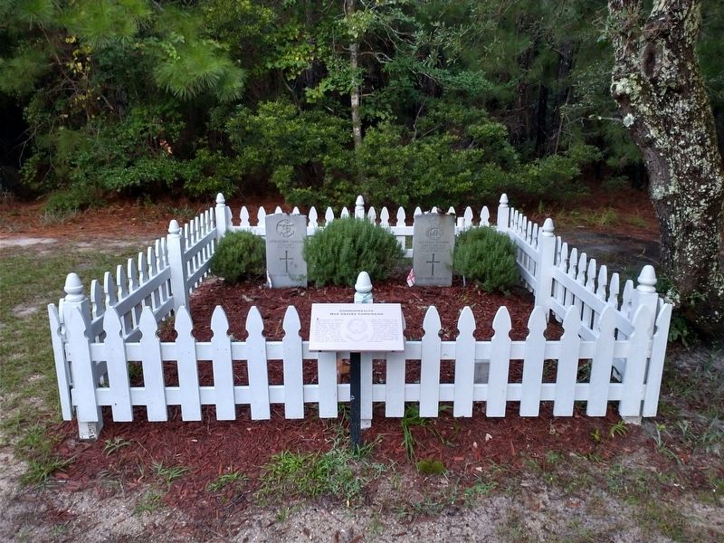
2. Gravesites of British Seamen
Another marker is no longer nearby. "Paukenschlag" (was a few steps from this marker but has been replaced with another marker now near it).
Also see . . . Commonwealth War Graves Commission. (Submitted on September 17, 2024.)
Photographed by Tom Bosse, September 14, 2024
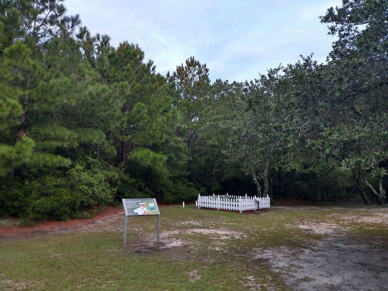
3. WWII British Sailor Cemetery
Credits. This page was last revised on September 17, 2024. It was originally submitted on September 17, 2024, by Tom Bosse of Jefferson City, Tennessee. This page has been viewed 336 times since then and 28 times this year. Photos: 1, 2, 3. submitted on September 16, 2024, by Tom Bosse of Jefferson City, Tennessee. • Bernard Fisher was the editor who published this page.
