Slaterville in Fairbanks in Fairbanks North Star Borough, Alaska — Northwest (North America)
1967 Chena River Flood
Photographed by William Fischer, Jr., August 17, 2024
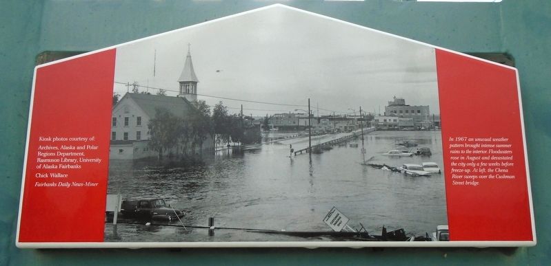
1. 1967 Chena River Flood Marker
In 1967 an unusual weather pattern brought intense summer rains to the interior. Floodwaters rose in August and devastated the city only a few weeks before freeze-up. [Photo] At left, the Chena River sweeps over the Cushman Street bridge.
Erected by Rotary Club of Fairbanks.
Topics and series. This historical marker is listed in these topic lists: Disasters • Waterways & Vessels. In addition, it is included in the Rotary International series list. A significant historical year for this entry is 1967.
Location. 64° 50.688′ N, 147° 43.252′ W. Marker is in Fairbanks, Alaska, in Fairbanks North Star Borough. It is in Slaterville. It is on Doyon Place. Marker is in Shoreway Park, between the parking lot and Chena River. Touch for map. Marker is at or near this postal address: 4 Doyon Place, Fairbanks AK 99701, United States of America. Touch for directions.

Regionally, this marker is in the Alaska Railroad Corridor, in the Athabascan Region, and in Interior Alaska. It is also on the American Pacific Coast. Globally, it is in North America, on the Pacific Rim, in the Western Hemisphere, in the Western World,
this page online
Other nearby markers. At least 8 other markers are within walking distance of this marker: Fairbanks Riverfront (here, next to this marker); Community Volunteers (here, next to this marker); Gordon and Doris Wear (here, next to this marker); Immaculate Conception Church (within shouting distance of this marker); Chena River Flood (within shouting distance of this marker); a different marker also named The 1967 Chena River Flood (within shouting distance of this marker); Chena River Flood Control (within shouting distance of this marker); Barnette's Landing (within shouting distance of this marker). Touch for a list and map of all markers in Fairbanks.
Also see . . . Fairbanks Flood of 1967 Walking Tour Brochure. (Submitted on September 19, 2024, by William Fischer, Jr. of Reynoldsburg, Ohio.)
Photographed by William Fischer, Jr., August 17, 2024
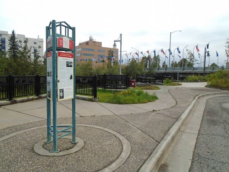
2. 1967 Chena River Flood Marker
southwest toward Cushman Street Bridge
Photographed by William Fischer, Jr., August 17, 2024
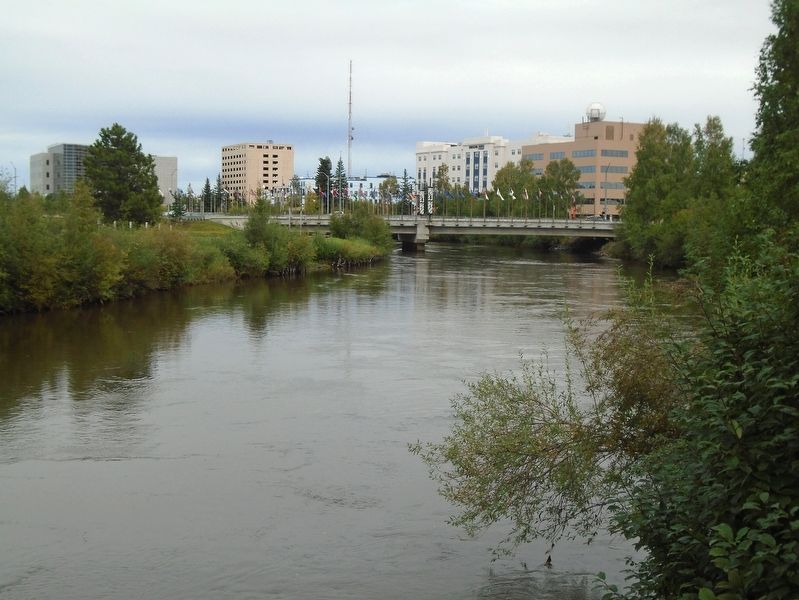
3. Chena River View
Credits. This page was last revised on September 6, 2025. It was originally submitted on September 19, 2024, by William Fischer, Jr. of Reynoldsburg, Ohio. This page has been viewed 178 times since then and 24 times this year. Photos: 1, 2, 3. submitted on September 19, 2024, by William Fischer, Jr. of Reynoldsburg, Ohio.
