Winnsboro in Wood County, Texas — The American South (West South Central)
Pleasant Grove School & Cemetery
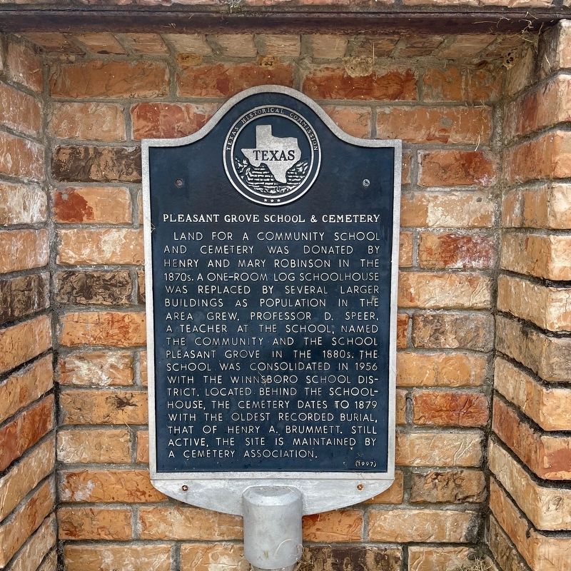
Photographed by QuesterMark, September 1, 2024
1. Pleasant Grove School & Cemetery Marker
Erected 1997 by Texas Historical Commission. (Marker Number 9017.)
Topics. This historical marker is listed in these topic lists: Cemeteries & Burial Sites • Education.
Location. 32° 55.508′ N, 95° 23.637′ W. Marker is in Winnsboro, Texas, in Wood County. It is on County Road 4988 west of County Road 4989, on the left when traveling west. Touch for map. Marker is at or near this postal address: 381 Co Rd 4988, Winnsboro TX 75494, United States of America. Touch for directions.

Regionally, this marker is in the
this page online
Other nearby markers. At least 8 other markers are within 7 miles of this marker, measured as the crow flies: Lee Cemetery (approx. 5.2 miles away); Site of Little Indiana School (approx. 5.7 miles away); Winnsboro (approx. 6.3 miles away); Carlock - Wilkinson Home (approx. 6.3 miles away); Carlock Home, 1903 (approx. 6.3 miles away); First Methodist Church of Winnsboro (approx. 6.4 miles away); First Baptist Church of Winnsboro (approx. 6.4 miles away); Winnsboro Depot (approx. 6.4 miles away). Touch for a list and map of all markers in Winnsboro.
More about this marker. This marker was manufactured to be mounted on a pole. Despite this, it's bolted into a recessed box in a brick sign.

Photographed by QuesterMark, September 1, 2024
2. Pleasant Grove School & Cemetery Marker vicinity
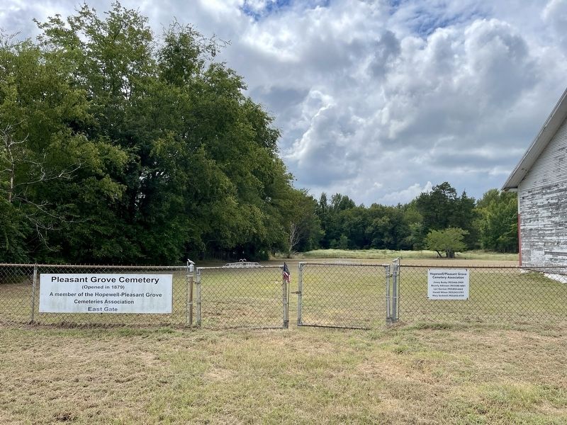
Photographed by QuesterMark, September 1, 2024
3. View of Pleasant Grove Cemetery, left side of school building
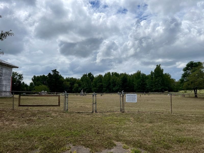
Photographed by QuesterMark, September 1, 2024
4. Pleasant Grove Cemetery, right side of school building
Credits. This page was last revised on September 19, 2024. It was originally submitted on September 19, 2024, by QuesterMark of Fort Worth, Texas. This page has been viewed 371 times since then and 68 times this year. Photos: 1, 2, 3, 4. submitted on September 19, 2024, by QuesterMark of Fort Worth, Texas. • James Hulse was the editor who published this page.
