Near Kirkwood in Broome County, New York — The American Northeast (Mid-Atlantic)
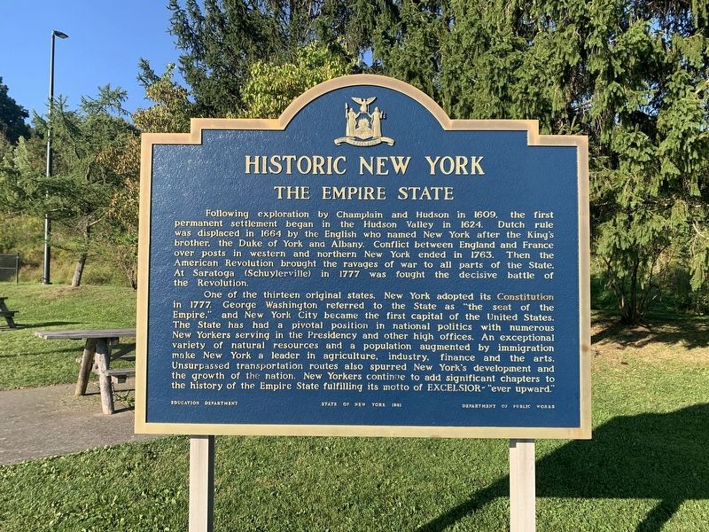
Historic New York
The Empire State
Photographed by Tim Fillmon, September 4, 2024
1. Historic New York Marker
One of the thirteen original states. New York adopted its Constitution in 1777. George Washington referred to the State as "the seat of the Empire." and New York City became the first capital of the United States. The State has had a pivotal position in national politics with numerous New Yorkers serving in the Presidency and other high offices. An exceptional variety of natural resources and a population augmented by immigration make New York a leader in agriculture, industry, finance and the arts. Unsurpassed transportation routes also spurred New York's development and the growth of the nation. New Yorkers continue
this page online
Erected 1961 by Education Department, State of New York, Department of Public Works.
Topics. This historical marker is listed in these topic lists: Exploration • Immigration • Settlements & Settlers • War, US Revolutionary. A significant historical year for this entry is 1624.
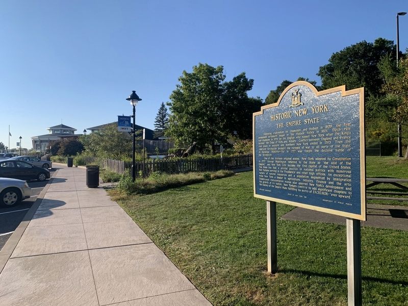
Location. 42° 1.177′ N, 75° 46.762′ W. Marker is near Kirkwood, New York, in Broome County. It is on Interstate 81 1.8 miles south of Cedarhurst Road, on the right when traveling north. Marker located in the northbound Broome Gateway Rest Area. Touch for map. Marker is in this post office area: Kirkwood NY 13795, United States of America. Touch for directions.

Regionally, this marker is in Upstate New York and in the Southern Tier. It is also in the American Northeast, in the Mid-Atlantic, in Appalachia, and specifically in Northern Appalachia. Globally, it is in North America, the Western Hemisphere, the Western World, and the Anglosphere. Historically, it finds itself in what was once New Netherland and also one of
Photographed by Tim Fillmon, September 4, 2024
2. Historic New York Marker
Other nearby markers. At least 8 other markers are within 4 miles of this marker, measured as the crow flies: Binghamton and Upper Susquehanna (about 300 feet away, measured in a direct line); Patriot Burials (approx. 1.4 miles away); Pennsylvania (approx. 2.3 miles away in Pennsylvania); War Memorial (approx. 2.9 miles away in Pennsylvania); Citizen Soldiers from Bravo Company, First Battalion, One Hundred and Ninth Mechanized Infantry (approx. 2.9 miles away in Pennsylvania); "Lokies" boost coal production ... (approx. 2.9 miles away in Pennsylvania); Freedom Memorial Park (approx. 3.8 miles away in Pennsylvania); SSG Larry R. Barnard, U.S. Army (approx. 3.8 miles away in Pennsylvania).
Credits. This page was last revised on September 20, 2024. It was originally submitted on September 20, 2024, by Tim Fillmon of Webster, Florida. This page has been viewed 292 times since then and 14 times this year. Photos: 1, 2. submitted on September 20, 2024, by Tim Fillmon of Webster, Florida.
