
Near Battlefield in Greene County, Missouri — The American Midwest (Upper Plains)
What Would You Do?
| — | Wilson's Creek National Battlefield | — |
Photographed by Jason Armstrong, July 30, 2023
1. What Would You Do? Marker
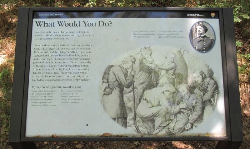
Because the enemy pulled back their troops, Major Samuel D. Sturgis had time to assess the situation. Federals still held the high ground but troops were scattered and broken. It was believed the enemy had 20,000 men. The troops were weary and had gone without food for 15 hours. Canteens were dry as the August day got hot and was getting hotter. Ammunition was low. Sigel's column was missing. The Union force's new leader was faced with a critical decision—organize troops and attack the Confederates right again or retreat to Springfield.
It you were Sturgis, what would you do?
Sturgis gathered other officers still on the battlefield for a council of war. The ability to continue to defend their position depended on the whereabouts of Sigel's column. Not everyone was willing to concede Sigel was whipped. Yet everyone realized the need to retreat unless Sigel was found.
It took a half hour to locate Major Sturgis to inform him of the general's death. "The responsibility which rested
this page online
Erected by National Park Service, U.S. Department of the Interior.
Topics. This historical marker is listed in this topic list: War, US Civil. A significant historical date for this entry is August 10, 1861.
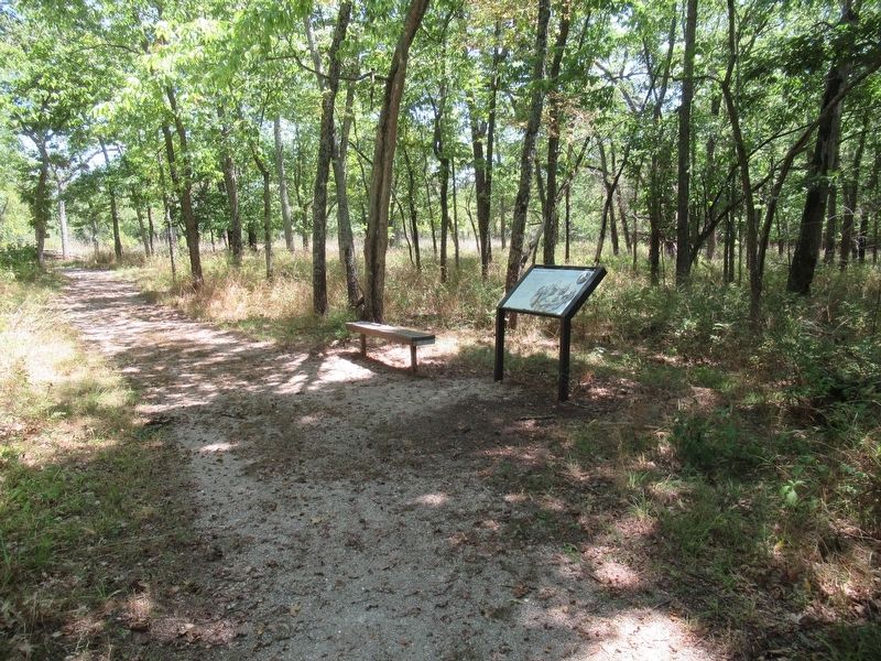
Location. 37° 6.284′ N, 93° 24.726′ W. Marker is near Battlefield, Missouri, in Greene County. It can be reached from Tour Road 0.9 miles south of West Farm Road 182,, on the right when traveling north. Located about 1600 feet east of the Bloody Hill Parking Area on the walking trail. Touch for map. Marker is in this post office area: Brookline MO 65619, United States of America. Touch for directions.

Regionally, this marker is in Greater Springfield. It is also in the American Ozarks, in the Lewis & Clark Corridor, and in the Corn Belt. Globally, it is in North America, the Western Hemisphere, the Western World, and the Anglosphere. Historically, it finds itself in what was once the territory of the Mississippian Culture, the Louisiana Purchase, and the Antebellum South.
Other nearby markers. At least 8 other markers are within walking distance of this marker:
Photographed by Jason Armstrong, July 30, 2023
2. What Would You Do? Marker
Also see . . . Wilson's Creek National Battlefield. National Park Service (Submitted on September 20, 2024.)
Credits. This page was last revised on September 20, 2024. It was originally submitted on September 20, 2024, by Jason Armstrong of Talihina, Oklahoma. This page has been viewed 149 times since then and 23 times this year. Photos: 1, 2. submitted on September 20, 2024, by Jason Armstrong of Talihina, Oklahoma. • Bernard Fisher was the editor who published this page.
