Beaver in Millard County, Utah — The American Mountains (Southwest)
Salt Lake to Southern California Road - Cove Fort
Photographed by Jeremy Snow, September 19, 2024
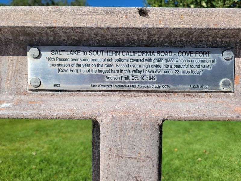
1. Salt Lake to Southern California Road - Cove Fort Marker
"16th Passed over some beautiful rich bottoms covered with green grass which is uncommon at this season of the year on this route. Passed over a high divide into a beautiful round valley [Cove Fort]. I shot the largest hare in this valley I have ever seen. 23 miles today."
Addison Pratt, Oct. 16, 1849
2002 Utah Westerners Foundation & Utah Crossroads Chapter OCTA SLSCR UT-7
Erected 2002 by Oregon-California Trails Association. (Marker Number UT-7.)
Topics and series. This historical marker is listed in this topic list: Roads & Vehicles. In addition, it is included in the California Trail series list. A significant historical date for this entry is October 16, 1849.
Location. 38° 36.085′ N, 112° 34.837′ W. Marker is in Beaver, Utah, in Millard County. It is on Cove Fort Road, on the right when traveling east. Touch for map. Marker is at or near this postal address: 17655 Cove Fort Road, Kanosh UT 84637, United States of America. Touch for directions.

Regionally, this marker is in the Central Utah Valleys and in the West Desert. It is also in the American Mountain West and on the Colorado Plateau. Globally, it is in North
this page online
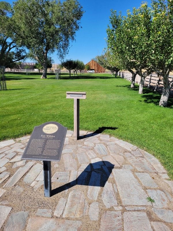
Other nearby markers. At least 5 other markers are within 16 miles of this marker, measured as the crow flies: Fort Willden (here, next to this marker); Cove Fort (a few steps from this marker); Kanosh (approx. 15 miles away); a different marker also named Kanosh (approx. 15.9 miles away); 1867 Chief Kanosh Memorial 1976 (approx. 15.9 miles away).
Photographed by Jeremy Snow, September 19, 2024
2. Salt Lake to Southern California Road - Cove Fort Marker
Credits. This page was last revised on September 20, 2024. It was originally submitted on September 20, 2024, by Jeremy Snow of Cedar City, Utah. This page has been viewed 125 times since then and 11 times this year. Photos: 1, 2. submitted on September 20, 2024, by Jeremy Snow of Cedar City, Utah. • Andrew Ruppenstein was the editor who published this page.
