
Empire Township in Leelanau County, Michigan — The American Midwest (Great Lakes)
Remembering Empire, Circa 1900

Photographed by J. J. Prats, September 11, 2024
1. Remembering Empire, Circa 1900 Marker
All that remains of the mill along the shore is a large concrete platform where a gangsaw with 26 blades reduced huge logs into usable lumber. Today our spirit welcomes you in a more quiet way. The people of Empire would have it thus. Greetings and welcome from the Empire Township Heritage Group. As one of our citizens used to say, “When you are in Empire, you are ‘In Gods Pocket’.”
Erected by Empire Township Heritage Group.
Topics. This historical marker is listed in these topic lists: Industry & Commerce • Parks & Recreational Areas.
Location. 44° 48.711′ N, 86° 4.081′ W. Marker is in Empire, Michigan, in Leelanau County. It is in
this page online

Regionally, this marker is in Northern Michigan Lower Peninsula, in the Grand Traverse Bay Region, and in one of the Lake Michigan Shore counties. It is also in the American Midwest. Globally, it is in North America, on the Great Lakes, in the Western Hemisphere, in the Western World, and in the Anglosphere. Historically, it finds itself in what was once the Northwest Territory.
Other nearby markers. At least 8 other markers are within 4 miles of this marker, measured as the crow flies: Village of Empire (here, next to this marker); Empire Lumber Company (a few steps from this marker); Empire Methodist Church (approx. 0.4 miles away); The Legend of the Manitou Islands and the Sleeping Bear (approx. 3.2 miles away); Mother Bear Is Migrating (approx. 3.2 miles away); Of Wrecks and Water Trails (approx. 3.2 miles away); Glen Lake Was Once a Bay (approx. 4 miles away);
Photographed by J. J. Prats, September 11, 2024
2. Remembering Empire Marker
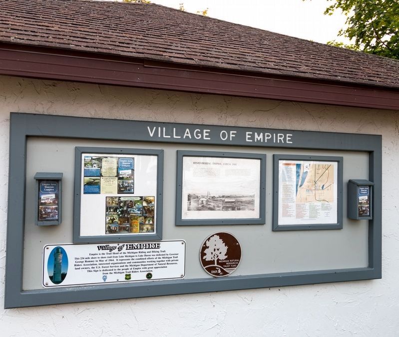
This sign is the one in the center.

Photographed by J. J. Prats, September 11, 2024
3. Village of Empire and Remembering Empire Markers
Credits. This page was last revised on September 21, 2024. It was originally submitted on September 21, 2024, by J. J. Prats of Powell, Ohio. This page has been viewed 211 times since then and 15 times this year. Photos: 1, 2, 3. submitted on September 21, 2024, by J. J. Prats of Powell, Ohio.
