Blain in Perry County, Pennsylvania — The American Northeast (Mid-Atlantic)
Blain Planing Mill
Turning a Natural Resource into a Product for 20th Century Homes and Businesses
| — | Perry County Bicentennial 1820 - 2020 | — |
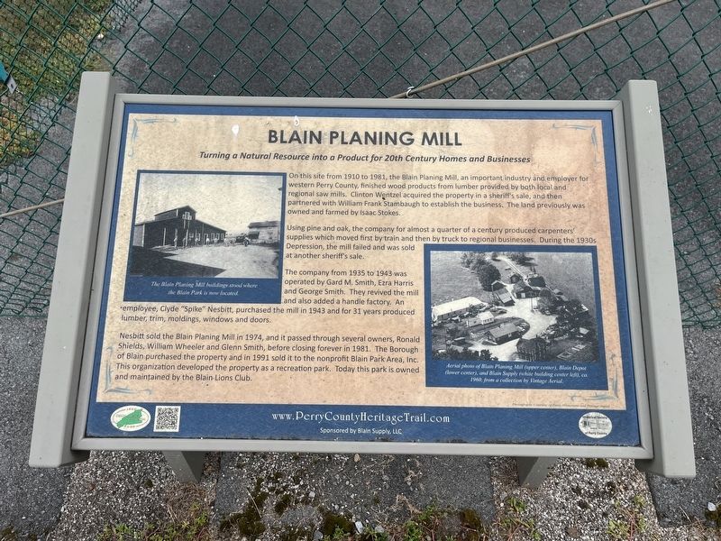
On this site from 1910 to 1981, the Blain Planing Mill, an important industry and employer for western Perry County, finished wood products from lumber provided by both local and regional saw mills. Clinton Wentzel acquired the property in a sheriff's sale, and then partnered with William Frank Stambaugh to establish the business. The land previously was owned and farmed by Isaac Stokes.
Using pine and oak, the company for almost a quarter of a century produced carpenters' supplies which moved first by train and then by truck to regional businesses. During the 1930s Depression, the mill failed and was sold at another sheriff's sale.
The company from 1935 to 1943 was operated by Gard M. Smith, Ezra Harris and George Smith. They revived the mill and also added a handle factory. An employee, Clyde "Spike" Nesbitt, purchased the mill in 1943 and for 31 years produced lumber, trim, moldings, windows and doors.
Nesbitt sold the Blain Planing Mill in 1974, and it passed through several owners, Ronald Shields, William Wheeler and Glenn Smith, before closing forever in 1981. The Borough of Blain purchased the property
this page online
Erected 2020 by Historical Society of Perry County.
Topics and series. This historical marker is listed in these topic lists: Industry & Commerce • Natural Resources • Parks & Recreational Areas. In addition, it is included in the Pennsylvania, Perry County Heritage Trail series list. A significant historical year for this entry is 1910.
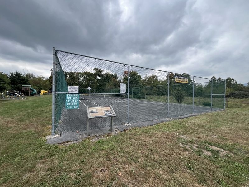
Location. 40° 19.998′ N, 77° 30.598′ W. Marker is in Blain, Pennsylvania, in Perry County. It is on Church Road 0.1 miles south of Stoke Drive, on the right when traveling south. Touch for map. Marker is at or near this postal address: 190 Church Rd, Blain PA 17006, United States of America. Touch for directions.

Regionally, this marker is in South-Central Pennsylvania, in the Susquehanna Valley, and in Greater Harrisburg. It is also in the American Northeast, in the Mid-Atlantic, in Appalachia, and specifically in Northern Appalachia. Globally, it is in North America, the Western Hemisphere,
Other nearby markers. At least 8 other markers are within 4 miles of this marker, measured as the crow flies: Newport & Sherman's Valley Railroad (about 400 feet away, measured in a direct line); Site of Upper Toboyne Presbyterian Church (approx. 0.2 miles away); Ancestral Home of the Famous Blaine Family of America (approx. 0.2 miles away); Blain Fire Company, Inc. (approx. 0.4 miles away); Blain (approx. 0.4 miles away); Magdalena Briner Eby (approx. 2.2 miles away); New Germantown (approx. 3.7 miles away); a different marker also named New Germantown (approx. 3.8 miles away). Touch for a list and map of all markers in Blain.
Credits. This page was last revised on September 22, 2024. It was originally submitted on September 22, 2024, by Devry Becker Jones of Washington, District of Columbia. This page has been viewed 261 times since then and 56 times this year. Photos: 1, 2. submitted on September 22, 2024, by Devry Becker Jones of Washington, District of Columbia.
