Near Princeville in Edgecombe County, North Carolina — The American South (South Atlantic)
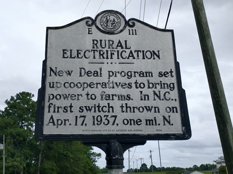
Rural Electrification
Photographed by Tom Bosse, September 14, 2024
1. Rural Electrification Marker
Erected 2006 by North Carolina Office of Archives and History. (Marker Number E-111.)
Topics and series. This historical marker is listed in these topic lists: Agriculture • Charity & Public Work • Industry & Commerce. In addition, it is included in the North Carolina Division of Archives and History, and the Rural Electrification 💡 series lists. A significant historical date for this entry is April 17, 1937.
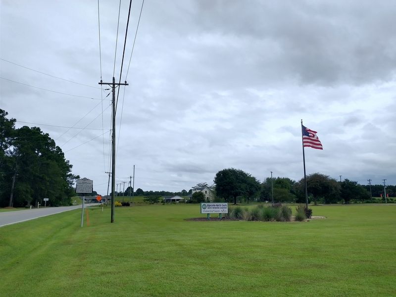
Location. 35° 52.046′ N, 77° 31.457′ W. Marker is near Princeville, North Carolina, in Edgecombe County. It is on North Carolina Route 33 north of Dowens Street, on the right when traveling north. Touch for map. Marker is at or near this postal address: 679 NC 33, Tarboro NC 27886, United States of America. Touch for directions.

Regionally, this marker is in North Carolina’s Coastal Plain. It is also in the American South and specifically in the Upper South. Globally, it is in North America, the Western Hemisphere, the Western World, and the Anglosphere. Historically, it
this page online
Other nearby markers. At least 8 other markers are within 2 miles of this marker, measured as the crow flies: Historic Princeville (approx. 1.6 miles away); Freedom Hill (approx. 1.6 miles away); Hurricane Floyd (approx. 1.8 miles away); Welcome to Princeville (approx. 1.8 miles away); Quigless Clinic-Hospital (approx. 1.9 miles away); George H. White (approx. 2 miles away); St. Paul A.M.E. Zion Church (approx. 2.1 miles away); George Washington Visit (approx. 2.1 miles away). Touch for a list and map of all markers in Princeville.
Photographed by Tom Bosse, September 14, 2024
2. Rural Electrification Marker
Credits. This page was last revised on December 28, 2025. It was originally submitted on September 22, 2024, by Tom Bosse of Jefferson City, Tennessee. This page has been viewed 128 times since then and 24 times this year. Photos: 1, 2. submitted on September 22, 2024, by Tom Bosse of Jefferson City, Tennessee. • Bernard Fisher was the editor who published this page.
