Logan Township in Patterson in Wayne County, Missouri — The American Midwest (Upper Plains)
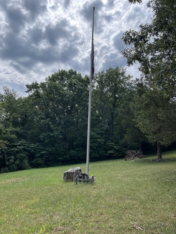
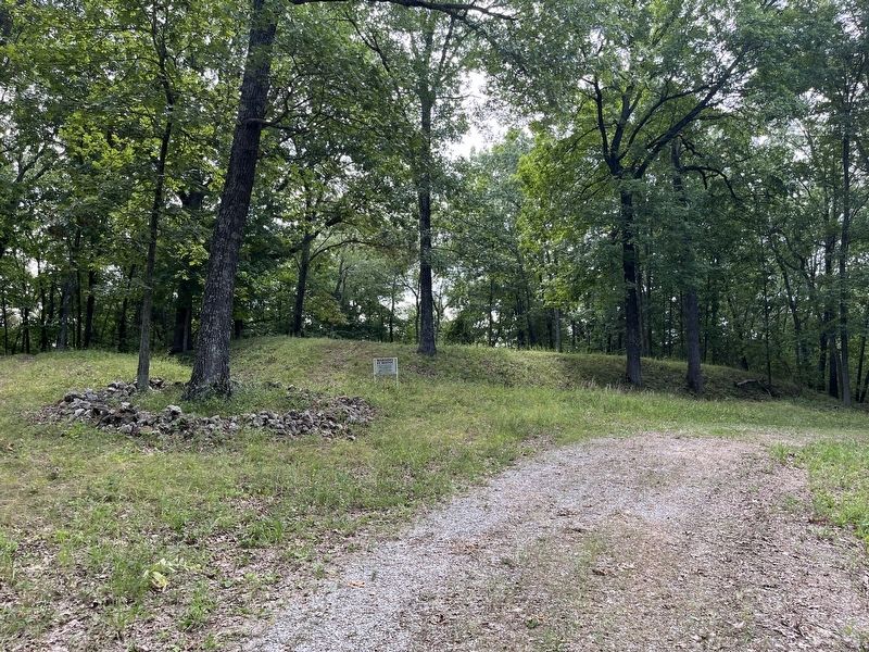
Fort Benton
Patterson, Missouri

Photographed by Craig Swain, July 31, 2023
1. Fort Benton Marker
Named for General William Plummer Benton, who was commissioned to fortify the fort in November, 1862.
Purchased by the Wayne County Historical Society and supporters in January, 1999.
Placed on the National Register of Historic Places, October 2002.
Dedicated November 1, 2003 in memory of those who gave their lives here for what they believed. May this nation never forget the lessons learned from this conflict.
Erected by The Wayne County Historical Society.
Topics. This historical marker is listed in these topic lists: Forts and Castles • War, US Civil. A significant historical month for this entry is January 1999.
Location. 37° 11.138′ N, 90° 33.223′ W. Marker is in Patterson, Missouri, in Wayne County. It is in Logan Township. It is on Wayne County 312B, on the right when traveling south. The parking area for Fort Benton, and the marker, is located just south of the Patterson Cemetery. From the parking area, the fort location is about 1/4 mile walk up the service road. Touch for map. Marker
this page online

Regionally, this marker is in Southeast Missouri. It is also in the American Ozarks, in the Lewis & Clark Corridor, and in the Corn Belt. Globally, it is in North America, the Western Hemisphere, the Western World, and the Anglosphere. Historically, it finds itself in what was once the territory of the Mississippian Culture, the Louisiana Purchase, and the Antebellum South.
Other nearby markers. At least 8 other markers are within 7 miles of this marker, measured as the crow flies: A different marker also named Fort Benton (a few steps from this marker); Patterson, Missouri (approx. ¼ mile away); Greenville Bike Trail - Greenville Trailhead (approx. 6.9 miles away); World War I Memorial (approx. 7 miles away); Wayne County Veterans Memorial (approx. 7 miles away); Wayne County (approx. 7 miles away); Aunt Beck May House (approx. 7 miles away); Brenda K Henson (approx. 7.1 miles away). Touch for a list and map of all markers in Patterson.
Also see . . . Fort Benton. National Register of Historic Places Registration
Photographed by Craig Swain, July 31, 2023
2. Fort Benton Marker
Photographed by Craig Swain, July 31, 2023
3. Fort Benton
Credits. This page was last revised on December 9, 2025. It was originally submitted on September 22, 2024, by Craig Swain of Leesburg, Virginia. This page has been viewed 201 times since then and 35 times this year. Photos: 1, 2, 3. submitted on September 22, 2024, by Craig Swain of Leesburg, Virginia.
