Pike's Landing in College in Fairbanks North Star Borough, Alaska — Northwest (North America)
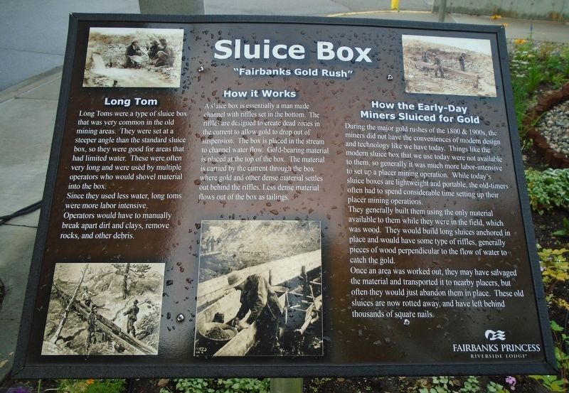
Sluice Box
"Fairbanks Gold Rush"
Photographed by William Fischer, Jr., August 18, 2024
1. Sluice Box Marker
Since they used less water, long toms were more labor intensive. Operators would have to manually break apart dirt and clays, remove rocks, and other debris.
this page online
They generally built them using the only material available to them while they were in the field, which was wood. They would build long sluices anchored in place and would have some type of riffles, generally pieces of wood perpendicular to the flow of water to catch the gold.
Once an area was worked out, they may have salvaged the material and transported it to nearby placers, but often they would just abandon them in place. These old sluices are now rotted away, and have left behind thousands of square nails.
Erected by Fairbanks Princess Riverside Lodge.
Topics. This historical marker is listed in these topic lists: Environment • Industry & Commerce • Settlements & Settlers. A significant historical year for this entry is 1898.
Location. 64° 50.035′ N, 147° 50.897′ W. Marker is in College, Alaska,
Photographed by William Fischer, Jr., August 18, 2024
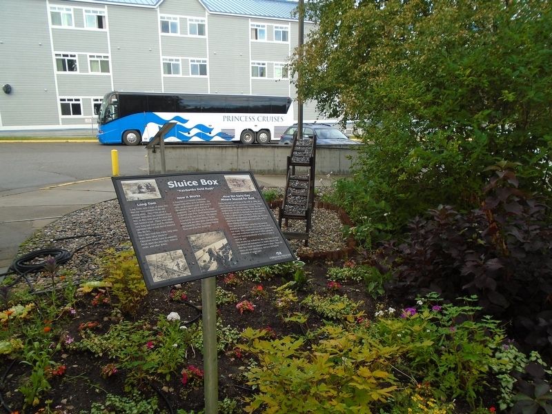
2. Sluice Box and Marker

Regionally, this marker is in the Alaska Railroad Corridor, in the Athabascan Region, and in Interior Alaska. It is also on the American Pacific Coast. Globally, it is in North America, on the Pacific Rim, in the Western Hemisphere, in the Western World, and in the Anglosphere. Historically, it finds itself in what was once the Russian Empire.
Other nearby markers. At least 8 other markers are within walking distance of this marker: Welcome to Fairbanks (a few steps from this marker); Alaska vs the "Lower 48" (about 300 feet away, measured in a direct line); Welcome to our Chef's garden! (about 300 feet away); Historic Fairbanks (about 400 feet away); Reindeer & Caribou (about 400 feet away); Pipeline (about 400 feet away); Cordelia Karshner (about 500 feet away); Laura Foster O'Flanagan
Photographed by William Fischer, Jr., August 18, 2024
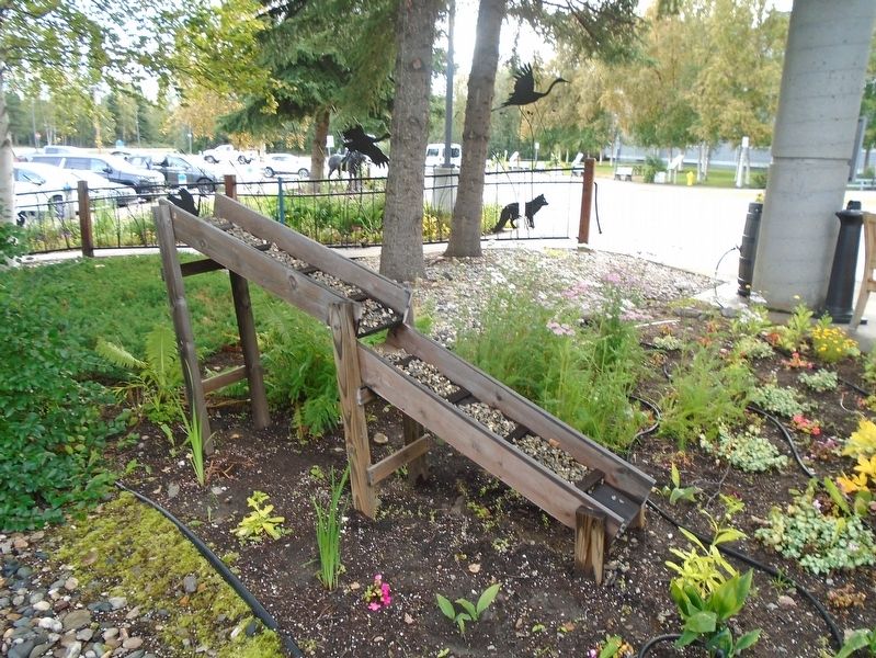
3. Mock Sluice Box
Credits. This page was last revised on September 23, 2024. It was originally submitted on September 23, 2024, by William Fischer, Jr. of Reynoldsburg, Ohio. This page has been viewed 596 times since then and 156 times this year. Photos: 1, 2, 3. submitted on September 23, 2024, by William Fischer, Jr. of Reynoldsburg, Ohio.
