Pike's Landing in College in Fairbanks North Star Borough, Alaska — Northwest (North America)
Historic Fairbanks
Photographed by William Fischer, Jr., August 18, 2024
1. Historic Fairbanks Marker
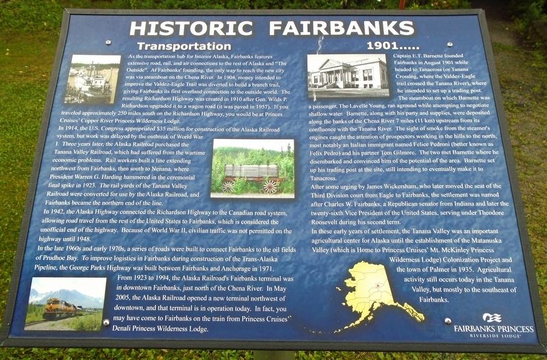
As the transportation hub for Interior Alaska, Fairbanks features extensive road, rail, and air connections to the rest of Alaska and "The Outside". At Fairbanks' founding, the only way to reach the new city was via steamboat on the Chena River. In 1904, money intended to improve the Valdez-Eagle Trail was diverted to build a branch trail, giving Fairbanks its first overland connection to the outside world. The resulting Richardson Highway was created in 1910 after Gen. Wilds P. Richardson upgraded it to a wagon road (it was paved in 1957). If you traveled approximately 250 miles south on the Richardson Highway, you would be at Princes[s] Cruises Copper River Princess Wilderness Lodge.
In 1914, the U.S. Congress appropriated $35 million for construction of the Alaska Railroad system, but work was delayed by the outbreak of World War I. Three years later, the Alaska Railroad purchased the Tanana Valley Railroad, which had suffered from the wartime economic problems. Rail workers built a line extending northwest from Fairbanks, then south to Nenana, where President Warren G. Harding hammered in the ceremonial
this page online
In 1942, the Alaska Highway connected the Richardson Highway to the Canadian road system, allowing road travel from the rest of the United States to Fairbanks, which is considered the unofficial end of the highway. Because of World War II, civilian traffic was not permitted on the highway until 1948.
In the late 1960s and early 1970s, a series of roads were built to connect Fairbanks to the oil fields of Prudhoe Bay. To improve logistics in Fairbanks during construction of the Trans-Alaska Pipeline, the George Parks Highway was built between Fairbanks and Anchorage in 1971. From 1923 to 1994, the Alaska Railroad's Fairbanks terminal was in downtown Fairbanks, just north of the Chena River. In May 2005, the Alaska Railroad opened a new terminal northwest of downtown, and that terminal is in operation today. In fact, you may have come to Fairbanks on the train from Princess Cruises' Denali Princess Wilderness Lodge.
Captain H.T. Barnette founded Fairbanks
Photographed by William Fischer, Jr., August 18, 2024
2. Historic Fairbanks Marker
After some urging by James Wickersham, who later moved the seat of the Third Division court from Eagle to Fairbanks, the settlement was named after Charles W. Fairbanks, a Republican senator from Indiana and later the twenty-sixth Vice President of the United States,
Photographed by William Fischer, Jr., August 18, 2024
3. Historic Fairbanks Marker
In these early years of settlement, the Tanana Valley was an important agricultural center for Alaska until the establishment of the Matanuska Valley (which is Home to Princess Cruises' Mt. McKinley Princess Wilderness Lodge) Colonization Project and the town of Palmer in 1935. Agricultural activity still occurs today in the Tanana Valley, but mostly to the southeast of Fairbanks.
Erected by Fairbanks Princess Riverside Lodge.
Topics. This historical marker is listed in these topic lists: Industry & Commerce • Railroads & Streetcars • Settlements & Settlers • Waterways & Vessels. A significant historical month for this entry is August 1901.
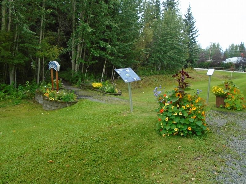
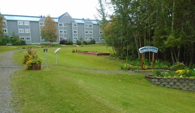
Location. 64° 49.981′ N, 147° 50.817′ W. Marker is in College, Alaska, in Fairbanks North Star Borough. It is in Pike's Landing. It can be reached from Pikes Landing Road. Marker is along the walking trail on the Fairbanks Princess Riverside Lodge grounds, north of Digger Drive. Touch for map. Marker is at or near this postal address: 4477 Pikes Landing Road, Fairbanks AK 99709, United States of America. Touch for directions.

Regionally, this marker is in the Alaska Railroad Corridor, in the Athabascan Region, and in Interior Alaska. It is also on the American Pacific Coast. Globally, it is in North America, on the Pacific Rim, in the Western Hemisphere, in the Western World, and in the Anglosphere. Historically, it finds itself in what was once the Russian Empire.
Other nearby markers. At least 8 other markers are within walking distance of this marker: Alaska vs the "Lower 48" (within shouting distance of this marker); Felix, Joy, & Dandy Pedro (within shouting distance of this marker); "Two Step" Louis Schmidt (within shouting distance of this marker); William Salmon & August Conradt (within shouting distance of this marker); Jewatha Brice (within shouting distance of this marker); Golden Heart City (within shouting distance of this marker); Pete and Dick Bucholz (within shouting distance of this marker); Cordelia Karshner (within shouting distance of this marker). Touch for a list and map of all markers in College.
Credits. This page was last revised on September 24, 2024. It was originally submitted on September 24, 2024, by William Fischer, Jr. of Reynoldsburg, Ohio. This page has been viewed 209 times since then and 43 times this year. Photos: 1, 2, 3. submitted on September 24, 2024, by William Fischer, Jr. of Reynoldsburg, Ohio.
