Leapwood in McNairy County, Tennessee — The American South (East South Central)
Buford Pusser Childhood Homeplace
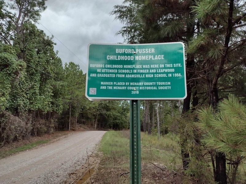
Photographed by David Austin
1. Buford Pusser Childhood Homeplace Marker
Erected 2019 by McNairy County Tourism and the McNairy County Historical Society.
Topics. This historical marker is listed in these topic lists: Education • Law Enforcement. A significant historical year for this entry is 1956.
Location. 35° 19.98′ N, 88° 30.047′ W. Marker is in Leapwood, Tennessee, in McNairy County. It is on Vista Lane north of Finger Leapwood Road, on the right when traveling north. Touch for map. Marker is in this post office area: Finger TN 38334, United States of America. Touch for directions.

Regionally, this marker is in West Tennessee. It is also in the American South, specifically in the Deep South, in the Upper South, and in the Black Belt. Globally, it is in North America, the Western Hemisphere, the Western World, and the Anglosphere. Historically, it finds itself in what was once the territory of the Mississippian Culture, one of the Confederate States of America, and the Antebellum South.
Other nearby markers. At least 8
this page online

Photographed by David Austin
2. Buford Pusser Childhood Homeplace Marker
Credits. This page was last revised on September 30, 2024. It was originally submitted on September 29, 2024, by David Austin of Scotts Hill, Tennessee. This page has been viewed 330 times since then and 29 times this year. Photos: 1, 2. submitted on September 29, 2024, by David Austin of Scotts Hill, Tennessee. • James Hulse was the editor who published this page.
