Quadrate in Mannheim, Baden-Württemberg, Germany — Central Europe
Schloss, Sondergericht
⎯⎯⎯
Castle, Special Court
Photographed by James Hulse, September 23, 2024
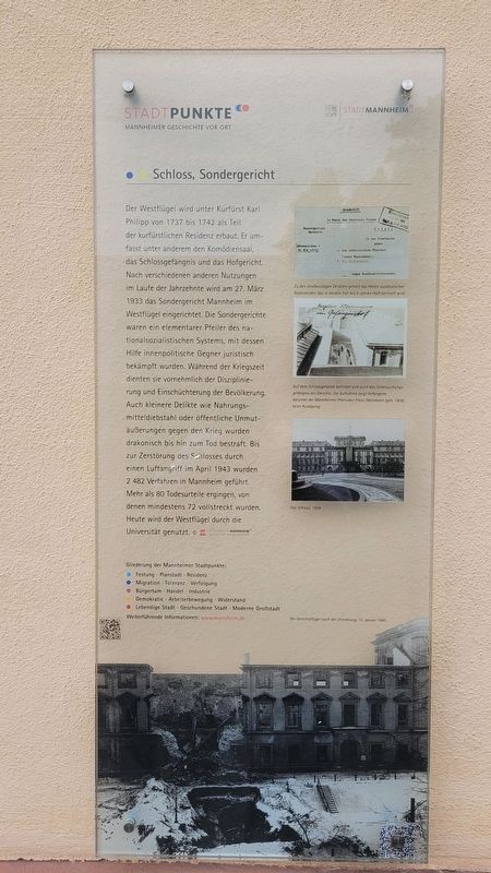
1. Schloss, Sondergericht / Castle, Special Court Marker

Der Westflügel wird unter Kurfürst Karl Philipp von 1737 bis 1742 als Teil der kurfürstlichen Residenz erbaut. Er umfasst unter anderem den Komödiensaal, das Schlossgefängnis und das Hofgericht. Nach verschiedenen anderen Nutzungen im Laufe der Jahrzehnte wird am 27. März 1933 das Sondergericht Mannheim im Westflügel eingerichtet. Die Sondergerichte waren ein elementarer Pfeiler des nationalsozialistischen Systems, mit dessen Hilfe innenpolitische Gegner juristisch bekämpft wurden. Während der Kriegszeit dienten sie vornehmlich der Disziplinierung und Einschüchterung der Bevölkerung. Auch kleinere Delikte wie Nahrungsmitteldiebstahl oder öffentliche Unmutäußerungen gegen den Krieg wurden drakonisch bis hin zum Tod bestraft. Bis zur Zerstörung des Schlosses durch einen Luftangriff im April 1943 wurden 2 482 Verfahren in Mannheim geführt. Mehr als 80 Todesurteile ergingen, von denen mindestens 72 vollstreckt wurden. Heute wird der Westflügel durch die Universität genutzt. © Stadtarchiv Mannheim Institut Für Stadtgeschichte
Bildunterschriften
(Foto Nr. 1) Zu den strafwürdigen Delikten gehört das Hören ausländischer Radiosender, das in diesem Fall mit 8 Jahren Haft bestraft wird.
(Foto Nr. 2) Auf dem Schlossgelände befindet sich auch das Untersuchungsgefängnis des Gerichts. Die Aufnanme zeigt Gefangene, darunter der Mannheimer Pfarrvikar Franz Weinmann (geb. 1908), beim Rundgang.
(Foto Nr. 3) Das Schloss 1938.
(Foto Nr. 4) Der Gerichtsflügel nach der Zerstörung, 15. Januar 1945.
The west wing was built under Elector Karl Philipp between 1737 and 1742 as part of the electoral residence. It includes the comedy hall, the palace prison and the court. After various other uses over the decades, the Mannheim Special Court was established in the west wing on March 27, 1933. The
this page online
Captions
(Photo #1) One of the punishable offenses is listening to foreign radio stations, which in this case is punishable by 8 years in prison.
(Photo #2) The court's remand prison is also located on the castle grounds. The photo shows prisoners, including Mannheim parish vicar Franz Weinmann (born 1908), on a tour.
(Photo #3) The castle in 1938.
(Photo #4) The court wing after its destruction, January 15, 1945.
Erected by Stadtpunkte Mannheimer Geschichte Vor Ort and Stadt Mannheim.
Topics. This historical marker is
Photographed by James Hulse, September 23, 2024
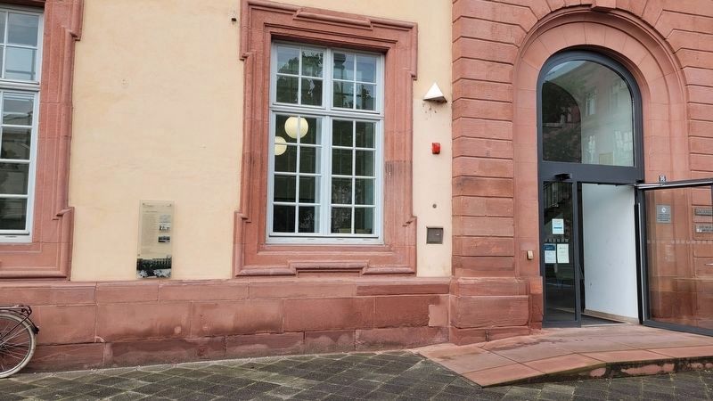
2. The marker at the entrance to the University building
Location. 49° 29.095′ N, 8° 27.637′ E. Marker is in Mannheim, Baden-Württemberg. It is in Quadrate. It is at the intersection of Bismarckstraße and A3, on the right when traveling east on Bismarckstraße. The marker is located along the wall of the huilding. Touch for map. Marker is at or near this postal address: Bismarckstraße 12, Mannheim BW 68159, Germany. Touch for directions.

Regionally, this marker is on the German Upper Rhine. Globally, it is in Europe, the European Union, Atlantic Europe, Central Europe, the Schengen Area, Western Europe, and the Western World. Historically, it finds itself in what was once the Roman Empire, the Holy Roman Empire, and the former West Germany.
Other nearby markers. At least 8 other markers are within walking distance of this marker: Lyceum A 4, 1-2 / Gymnasium-School A 4, 1-2 (within shouting distance of this marker); Heidelberger Katechismus / Heidelberg Catechism (about 90 meters away, measured in a direct line); Kurfürst Karl Ludwig Von Der Pfalz
Photographed by James Hulse, September 23, 2024
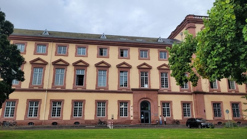
3. The view of the marker from the street
Photographed by James Hulse, September 23, 2024
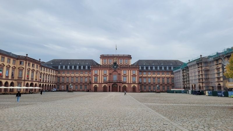
4. The main entrance to the Mannheim University
Credits. This page was last revised on October 2, 2024. It was originally submitted on October 1, 2024, by James Hulse of Medina, Texas. This page has been viewed 145 times since then and 19 times this year. Photos: 1, 2, 3, 4. submitted on October 2, 2024, by James Hulse of Medina, Texas.
