Historic District North in Savannah in Chatham County, Georgia — The American South (South Atlantic)
U.S.S. Savannah
Photographed by Brandon D Cross
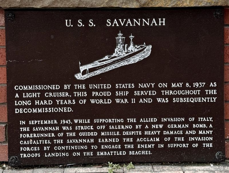
1. U.S.S. Savannah Marker
Commissioned by the United States Navy on May 8, 1937 as a light cruiser, this proud ship served throughout the long hard years of World War II and was subsequently decommissioned.
In September 1943, while supporting the Allied invasion of Italy, the Savannah was struck off Salerno by a new German bomb, a forerunner of the guided missile. Despite heavy damage and many casualties, the Savannah earned the acclaim of the invasion forces by continuing to engage the enemy in support of the troops landing on the embattled beaches.
Erected by City of Savannah.
Topics. This historical marker is listed in these topic lists: War, World II • Waterways & Vessels. A significant historical date for this entry is May 8, 1937.
Location. 32° 4.949′ N, 81° 5.581′ W. Marker is in Savannah, Georgia, in Chatham County. It is in the Historic District North. It can be reached from the intersection of West River Street and Barnard Street, on the left when traveling east. Located at the Ship Fountain in John P. Rousakis Riverfront Plaza. Touch for map. Marker is in this post office area: Savannah GA 31401, United States of America. Touch for directions.

Regionally,
this page online
Other nearby markers. At least 8 other markers are within walking distance of this marker: The Pioneer Nuclear Powered Passenger-Cargo Ship Savannah (here, next to this marker); The Pioneer Transatlantic Steamship Savannah (here, next to this marker); USS Savannah (AOR 4) (here, next to this marker); SS Savannah and SS John Randolph (a few steps from this marker); Settlement of Savannah (a few steps from this marker); William Bartram Trail (a few steps from this marker); Ships That Carried the Name Savannah (within shouting distance of this marker); The Propeller Club of the Port of Savannah (about 300 feet away, measured
Photographed by Brandon D Cross
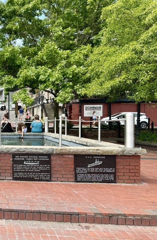
2. U.S.S. Savannah Marker (right)
Also see . . . USS Savannah (CL-42). NavSource Online website entry:
Links to Naval History and Heritage Command website entry (Submitted on October 3, 2024, by Larry Gertner of New York, New York.)
Public Domain
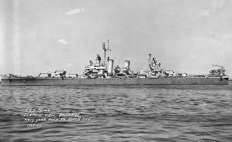
3. USS Savannah (CL-42)
on 5 September 1944 (NH 97955).jpg
via NavSource Online, September 11, 1943
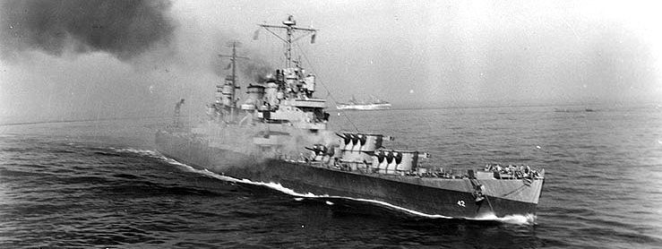
4. USS Savannah (CL 42)
Afire immediately after she was hit by a German guided bomb during the Salerno operation, 11 September 1943. Smoke is pouring from the bomb impact hole atop the ship's number three 6"/47 gun turret.
Credits. This page was last revised on October 3, 2024. It was originally submitted on October 1, 2024, by Brandon D Cross of Flagler Beach, Florida. This page has been viewed 211 times since then and 52 times this year. Photos: 1, 2, 3. submitted on October 1, 2024, by Brandon D Cross of Flagler Beach, Florida. 4. submitted on October 3, 2024, by Larry Gertner of New York, New York. • Bernard Fisher was the editor who published this page.
