Dyea in Skagway in Skagway Borough, Alaska — Northwest (North America)
U.S. Army Invades Skagway
Photographed by William Fischer, Jr., August 24, 2024
1. U.S. Army Invades Skagway Marker
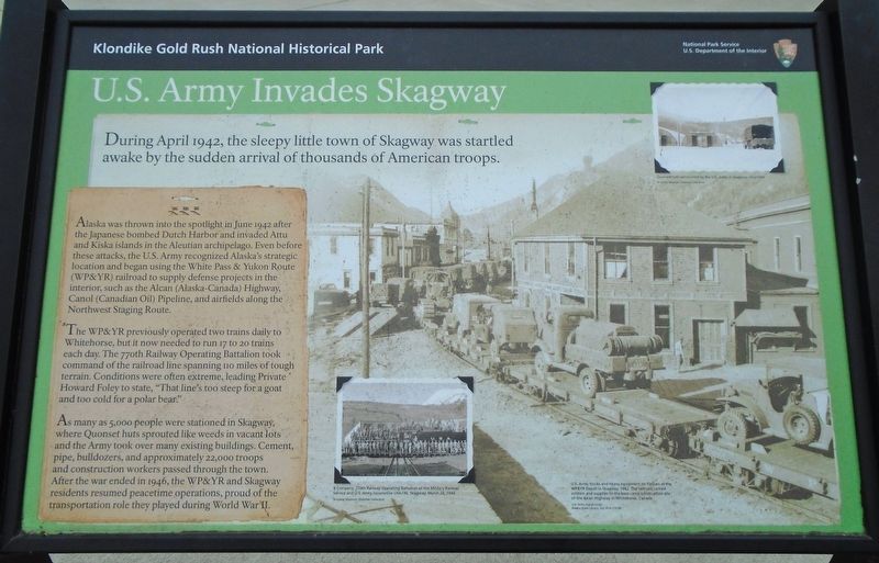
During April 1942, the sleepy little town of Skagway was startled awake by the sudden arrival of thousands of American troops.
Alaska was thrown into the spotlight in June 1942 after the Japanese bombed Dutch Harbor and invaded Attu and Kiska islands in the Aleutian archipelago. Even before these attacks, the U.S. Army recognized Alaska's strategic location and began using the White Pass & Yukon Route (WP&YR) railroad to supply defense projects in the interior, such as the Alcan (Alaska-Canada) Highway, Canol (Canadian Oil) Pipeline, and airfields along the Northwest Staging Route.
The WP&YR previously operated two trains daily to Whitehorse, but it now needed to run 17 to 20 trains each day. The 770th Railway Operating Battalion took command of the railroad line spanning 110 miles of tough terrain. Conditions were often extreme, leading Private Howard Foley to state, "That line's too steep for a goat and too cold for a polar bear."
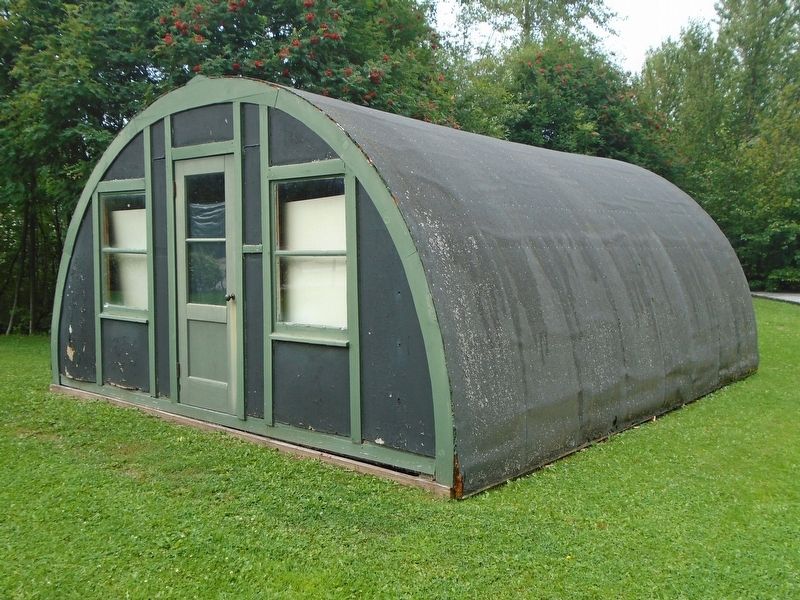
As many as 5,000 people were stationed in Skagway, where Quonset huts sprouted like weeds in vacant lots and the Army took over many existing buildings. Cement, pipe, bulldozers, and
this page online
[Photo captions, top to bottom, read]
• Quonset huts constructed by the U.S. Army in Skagway circa 1944
• B Company, 770th Railway Operating Battalion of the Military Railway Service and U.S. Army locomotive USA 196, Skagway, March 24, 1944
[Background photo caption reads]
U.S. Army trucks and heavy equipment on flatcars at the WP&YR Depot in Skagway, 1942. The railroad carried soldiers and supplies to the base camp construction site of the Alcan Highway in Whitehorse, Canada.
Erected by National Park Service.
Topics. This historical marker is listed in these topic lists: Patriots & Patriotism • Railroads & Streetcars • Roads & Vehicles • War, World II. A significant historical date for this entry is March 24, 1944.
Location. 59° 27.134′ N, 135° 19.223′ W. Marker is in Skagway, Alaska, in Skagway Borough. It is in Dyea. It is on Broadway south of the railroad grade crossing, on the left
Photographed by William Fischer, Jr., August 24, 2024
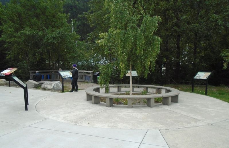
2. U.S. Army Invades Skagway Marker

Regionally, this marker is on the American Pacific Coast. Globally, it is in North America, on the Ring of Fire, on the Pacific Rim, in the Western Hemisphere, in the Western World, and in the Anglosphere. Historically, it finds itself in what was once the Russian Empire.
Other nearby markers. At least 8 other markers are within walking distance of this marker: Néechxwúduyaa (here, next to this marker); The Road to Gold (here, next to this marker); Ho, for the Klondike! (here, next to this marker); Gateway to the Interior (a few steps from this marker); The Plants of Pullen Creek (a few steps from this marker); Nature Always Succeeds! (within shouting distance of this marker); Three Thousand Pack Animals (about 400 feet away, measured in a direct line); Avenue of Mountain Ash Trees (about 400 feet away). Touch for a list and map of all markers in Skagway.
Related marker. Click here for another marker
Photographed by William Fischer, Jr., August 24, 2024
3. World War II Era Quonset Hut
Credits. This page was last revised on October 1, 2024. It was originally submitted on October 1, 2024, by William Fischer, Jr. of Reynoldsburg, Ohio. This page has been viewed 267 times since then and 41 times this year. Photos: 1, 2. submitted on October 1, 2024, by William Fischer, Jr. of Reynoldsburg, Ohio. 3. submitted on September 30, 2024, by William Fischer, Jr. of Reynoldsburg, Ohio.
