Mississauga in Peel Region, Ontario — Central Canada (North America)
Who We Are
Photographed by Tim Boyd, September 14, 2024
1. Who We Are Marker
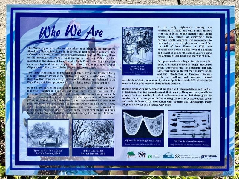
The Mississaugas, who refer to themselves as Anishinabe, are part of the Algonkian/Algonquin culture. In 1640 Jesuits first recorded a people they referred to as the Oumisagai (Mississaugas), living near the Mississagi River on the northwestern shore of Lake Huron. By the early 1700s they had migrated to the shores of Lake Ontario. Early French and English traders came to refer to all Native peoples on the North shore of Lake Ontario as Chippewa or Ojibwa, of which the Mississaugas were a part.
The name "Mississauga" is believed to mean "River of the North of Many Mouths", although a word in their Native language, "Missisakis", means "Many River Mouths". However, a large portion of the Mississaugas belonged to the Eagle Clan, which was pronounced in their language as "Ma-se-sau-gee".
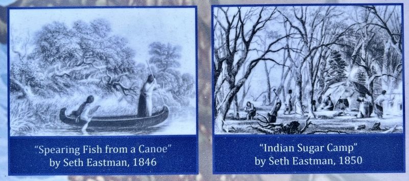
By the 1720s part of the Mississauga band began to move south and west, following traditional hunting, gathering and fishing practices. The Mississaugas lived lightly on the land, leaving little trace of their presence. As the band travelled they came to a river, which they came to call "Missinihe" ("Trusting Water" - the Credit River),
this page online
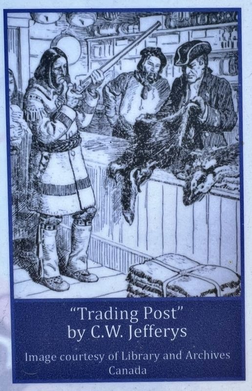
In the early eighteenth century the Mississaugas traded furs with French traders near the mouths of the Humber, and Credit rivers. They traded for everything from buttons, shirts, weapons and ammunition to pots and pans, combs, glasses and axes. After the fall of New France in 1763, the Mississaugas became allied with the English and fought as allies of the British Crown during the American Revolution and the War of 1812.
European settlement began in this area after 1806, and steadily the Mississaugas' practice of freely traversing the land became difficult. Little was done to protect their reserve lands, and the introduction of European diseases such as smallpox and measles claimed two-thirds of their population. By the early 1820s barely 200 Mississaugas remained along the western shore of Lake Ontario.
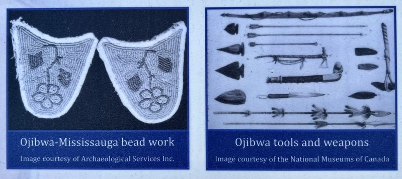
Disease,

Photographed by Tim Boyd, September 14, 2024
2. Who We Are Marker (centre)
Topics. This historical marker is listed in these topic lists: Indigenous Peoples and Communities • Settlements & Settlers. A significant historical year for this entry is 1640.
Location. 43° 32.889′ N, 79° 37.455′ W. Marker is in Mississauga, Ontario, in Peel Region. It is on Mississauga Road 0.4 kilometers north of North Sheridan Way, on the right when traveling north. Touch for map. Marker is at or near this postal address: 1864 Mississauga Road, Mississauga ON L5H 4C8, Canada. Touch for directions.

Regionally, this marker is in Greater Toronto, specifically on the Golden Horseshoe, and in the Toronto Metropolitan Area. It is also in Central Canada. Globally, it is in North America, on the Great Lakes, in
Photographed by Tim Boyd, September 14, 2024
3. Who We Are marker photos detail
Other nearby markers. At least 8 other markers are within 3 kilometers of this marker, measured as the crow flies: We Were Here (here, next to this marker); Chi-twaa Tigaanes/ Sacred Garden (here, next to this marker); On This Ground (here, next to this marker); Voices of Our Ancestors (here, next to this marker); Benares Historic House (approx. 2.6 kilometers away); Mazo de la Roche (approx. 2.6 kilometers away); Memorial Park (approx. 2.9 kilometers away); The Rev. James Magrath at St. Peter’s (approx. 2.9 kilometers away). Touch for a list and map of all markers in Mississauga.
Photographed by C.W. Jefferys
4. Who We Are marker detail
Photographed by Tim Boyd, September 14, 2024
5. Who We Are marker photo detail
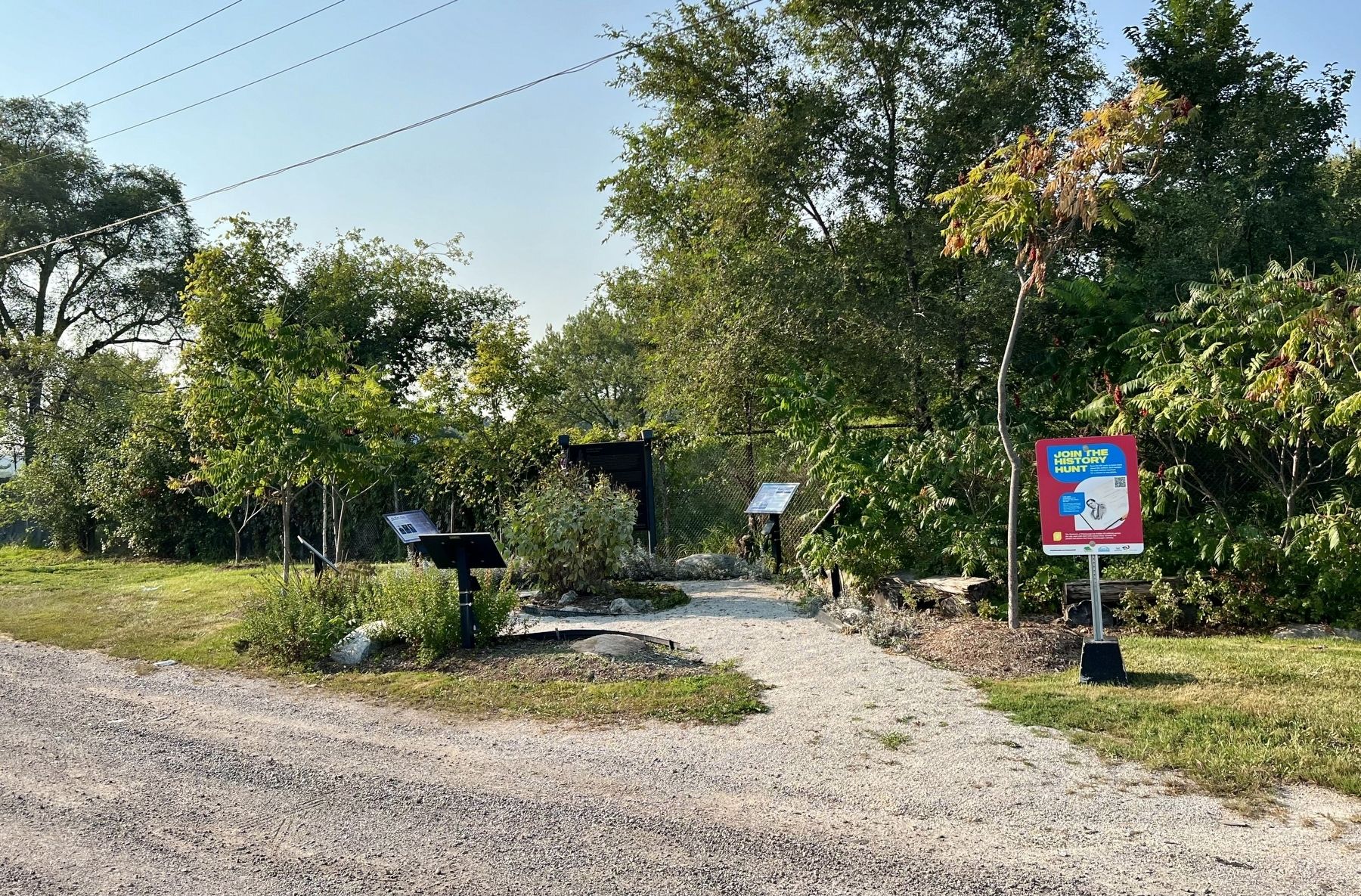
Photographed by Tim Boyd, September 14, 2024
6. Chi-twaa Tigaanes (Sacred Garden)
Credits. This page was last revised on October 10, 2024. It was originally submitted on October 1, 2024, by Tim Boyd of Hamilton, Ontario. This page has been viewed 165 times since then and 16 times this year. Photos: 1, 2, 3, 4, 5, 6. submitted on October 1, 2024, by Tim Boyd of Hamilton, Ontario. • Andrew Ruppenstein was the editor who published this page.
