Wurtsboro in Mamakating in Sullivan County, New York — The American Northeast (Mid-Atlantic)
Mamakating
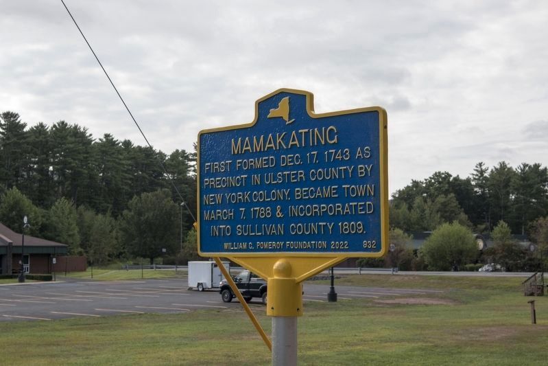
Photographed by Buck Tanzi
1. Mamakating Marker
First formed Dec. 17, 1743 as precinct in Ulster County by New York Colony. Became Town March 7, 1788 & incorporated in Sullivan County 1809.
Erected 2022 by William G. Pomeroy Foundation. (Marker Number 932.)
Topics and series. This historical marker is listed in these topic lists: Colonial Era • Settlements & Settlers. In addition, it is included in the William G. Pomeroy Foundation series list. A significant historical date for this entry is December 17, 1743.
Location. 41° 34.02′ N, 74° 29.866′ W. Marker is in Mamakating, New York, in Sullivan County. It is in Wurtsboro. It is on U.S. 209, on the right when traveling north. By the street in front of the Mamakating Town Hall and Town Court on Culver Dr. Touch for map. Marker is in this post office area: Wurtsboro NY 12790, United States of America. Touch for directions.

Regionally, this marker is in Upstate New York and in the Hudson Valley. It is also in the American Northeast, in the Mid-Atlantic, in Appalachia, and specifically in Northern Appalachia. Globally, it is in North America, the Western Hemisphere, the Western World, and the Anglosphere. Historically,
this page online
Other nearby markers. At least 8 other markers are within walking distance of this marker: Wurtsboro (approx. 0.9 miles away); Original Snubbing (approx. 0.9 miles away); Reformed Dutch Church of Mamakating (approx. 0.9 miles away); Wurtsboro Village Clock (approx. 0.9 miles away); Battlefield Cross (approx. 0.9 miles away); Wurtsboro Veterans Monument (approx. 0.9 miles away); Canal Bridge (approx. one mile away); Canal Office (approx. one mile away).
Also see . . . Mamakating (William G. Pomeroy Foundation). (Submitted on October 2, 2024.)
Credits. This page was last revised on April 26, 2026. It was originally submitted on October 1, 2024, by Buck Tanzi of Poughkeepsie, New York. This page has been viewed 279 times since then and 48 times this year. Photo 1. submitted on October 1, 2024, by Buck Tanzi of Poughkeepsie, New York. • Andrew Ruppenstein was the editor who published this page.
Editor’s want-list for this marker. photo of the marker within its surroundings • Can you help?
